Looking over to Clettraval.
Image credit: drew/A/B
Looking over to Clettraval.
Animal damage on an outer wall.

Looking north west to the Atlantic from the top of the site.

South east side of the dun/broch looking over the farmhouse.

The east side.

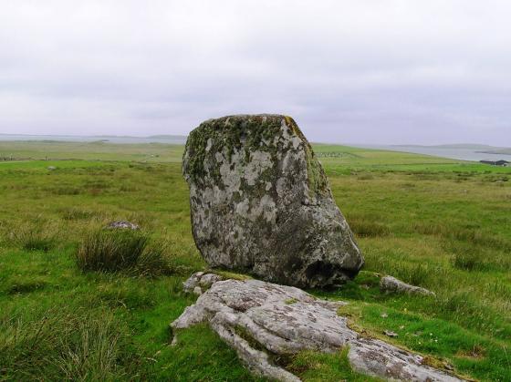
North of the north side, showing perhaps the remnants of a broch.

North side looking north west.

From the farm with the same name.
From Angus’s place, Dun Aonghais, head west along the A865 until the farm of the same name. I asked permission to park.
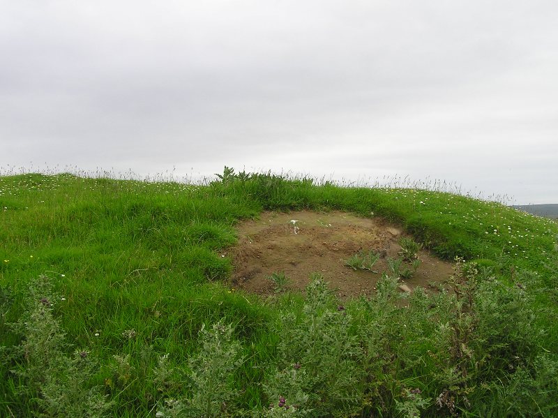
The dun or perhaps broch, suggested by Beveridge is situated behind the farmhouse. He said :
“On its east edge, for a continuous length of three yards, the exterior face of a massive curved wall (suggesting that of a broch) is disclosed in at least three courses of large stones not far from the present summit. Outside this, and at another broken part, were found some kitchen-midden remains, including pottery, with many bones and shells. In the north-west face, at about the same level as the portion of wall on the east, were also noticed three consecutive stones, apparently in original position. … this fort would seem to have a diameter of 50 to 60ft ….”
All that is left now is a large grassy mound, 23m wide / 2m high, with hints of a wall poking through. There is a fair chance that evidence for the broch was carted away during the mid 19th century to built dry steen dykes and farm buildings.
Still a nice site to visit and a very nice conversation with the farm owner.
Visited 23/7/2019.