
The quartz outcrop again with Mount Leinster, Knockroe, and Blackstairs mountain away to the south.
Image credit: ryaner
The quartz outcrop again with Mount Leinster, Knockroe, and Blackstairs mountain away to the south.

Looking north.
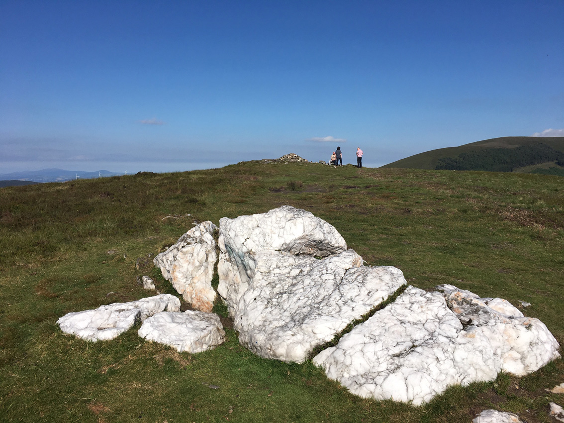
The quartz outcrop west of the cairn that probably gives the mountain its name.

There a quite a few large orthostat-like stones at Slievebawn, and what could be the outlines of a passage.

The wrecked cairn on Slievebawn, with Mount Leinster towering in the distance.


