A view under the capstone into the ‘chamber’.
Image credit: ryaner
A view under the capstone into the ‘chamber’.

Officially classified as a portal tomb, I have my doubts. Reminds me of this: themodernantiquarian.com/site/6381/knockbrack.html

Looking west. the summit of Knockroe is off to the left out of shot.

Carving on the capstone. Quite worn but quite modern looking too.

Kind of splendid which ever way you look at it.

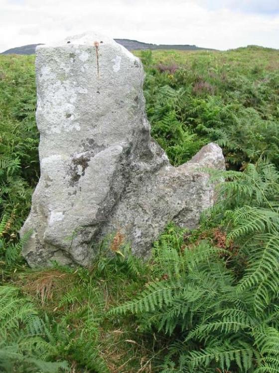
Looking roughly south towards Blackstairs mountain.

South-east from ‘behind’ the monument with Cloroge More in Wexford in the near distance. There would be views all the way to the sea in this direction on a clear day.

Looking east over the ‘back’ of the monument.

Like it’s about ready to take off from the side of the mountain.