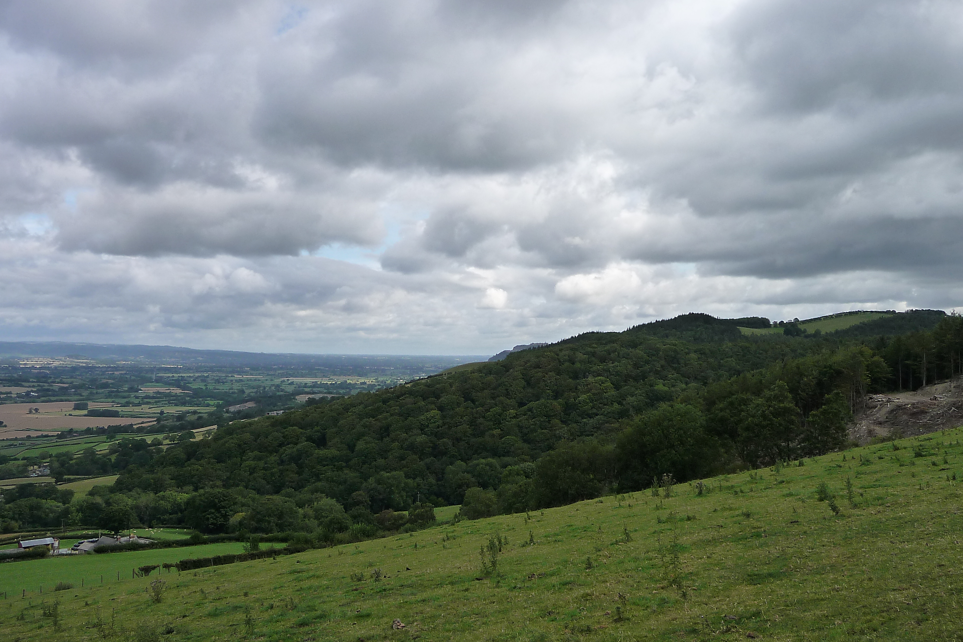
The fort on its wooded spur, seen from Offa’s Dyke Path near Salvagog Dingle to the south.
Image credit: A. Brookes (8.8.2011)

The fort on its wooded spur, seen from Offa’s Dyke Path near Salvagog Dingle to the south.

Seen from Offa’s Dyke Path near Stone House Farm to the west.

From Buttington to the NW.
Small promontory hillfort, covered in trees. Coflein description:
A sub-oval enclosure, c.74m E-W by 39m, occupying the W end of a sharp E-W ridge, cut off by a ditch to the E, elsewhere defined by scarps, with a possible W entrance.


