13/01/2018 – Bruce’s Camp
13/01/2018 – Bruce’s Camp

East side of the fort.

Forts centre.

Looking north west.
13/01/2018 – Earlyish start, least it felt like it as the lazy sun is still having a bit of a lie in at this time of year (I can’t wait for the longer days). We started from Port Elphinstone and walked the Old Kemnay Road which is a nice beech tree lined track nowadays. Good views down to the River Don and Bennachie in the distance along here.
The track took us to Duncan’s Forest and then we made a similar climb to Drew’s, up to Bruce’s Camp. No problems really access wise, it’s pretty open woodland to the top.
In fact everything was going OK until near the top when about 30 seconds after mentioning Drew’s fence problem from his fieldnotes to Mrs T, Bruce’s Camp decided to claim another TMAer. All I will say is that there was barbed wire and blood! There’s a curse on this hill, I tell ye.
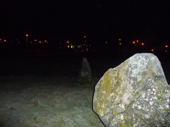
We did make it to the top which is a nice open area. The ramparts are pretty overgrown.
I forget to look for the cup marked rock which is a little annoying. I’ll have to go back sometime which is OK as it was a nice walk.
Due to severe forest farming not much can be seen here apart from small parts of rampart on the western side. Heavy growth doesn’t help which make the Canmore notes an excellent read. I found the cup marked stone, or I assume I did, but didn’t see any cup marks so I’ll go back and check properly. But I’ll take a diiferent route here next time at Crichie farm.
With a sidekick in tow we approached from the west parking my car near the B993, west of Inverurie, opposite the Auqhythie minor road. Head east up the forestry track to its end head thru the trees in a south easterly direction. A fence will be reached head south until a path is found. As I climbed the fence I didn’t notice a lower fence which I fell over. Unfortunately for me the fence pinged back up battering the left leg catapaulting me up into the air. However we proceeded and made it to the remains of the fort. On getting back to Turriff, to the docs and painkillers. Good fun this hobby!
Visited 1/07/2010
Fantastic details about the work carried out at this site. No warnings about hidden dangers tho!