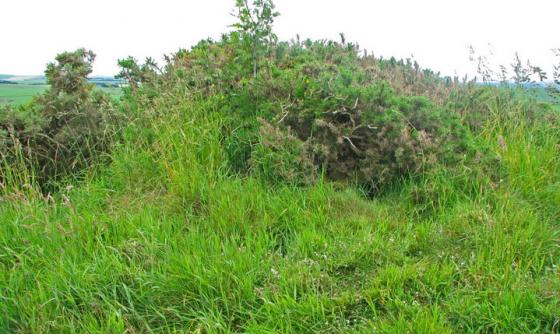
The not so badly eroded northern side.
Image credit: drew/amj
The not so badly eroded northern side.
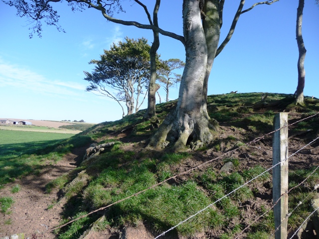
Looking from the west at the northern side.

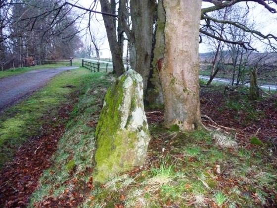
According to farmer this is the one remaining kerb on the western side.

Looking from the west.

The badly eroded southern side.
The northern side of this cairn is pretty well covered in grass with very little erosion. However on the south side the erosion is spectacular and probably man and animal made. Godsman makes mention of the cairn in his book as well as the Law Of Balgreen and the stone circles at Clochforbie and Auchnagorth, although the OS omit it from their maps. According to the farmer one kerb remains of the Bronze Age cairn. Sad and inspiring at the same time this cairn will gradually erode away, at least the photos will prove it existed.
From Macduff travel east towards Fraserburgh on the A98, turning south at the Pitgair signpost. Follow this road until it ends at Fisherie, turning left. The Mill Of Fisherie is signposted a further 200 yards along the road with the cairn clearly visible.
Visited 26/9/09.
This cairn is mentioned in the James Godsman 1952 book King Edward – Aberdeenshire. The Story Of A Parish. There is a photograph of cairn when it wasn’t so badly eroded.