The hollowed out centre – oh how I rued the cloud, views as far as the Kerry mountains in that direction.
Image credit: ryaner
The hollowed out centre – oh how I rued the cloud, views as far as the Kerry mountains in that direction.

Looking west – the large capstone-like stone on the left is said to mark a possible (passage?) entrance.

Looking south at the central core of the remains, approx. 18 metres diameter.

Looking south-west. The original footprint of the cairn is a lot broader than what now remains.
It was an overcast day and I had just scouted around the western reaches of Tomduff Hill in a second vain attempt to find some elusive sites in Killoughternane. I’d earlier also failed to find a stone at Kilbrannish North (I think it’s been removed). Passing over the spectacular road south of Croaghaun towards the pass between Mount Leinster and Slievebawn, I reached the car park at The Nine Stones (S817546) and kept going, assured that the cloud threatening to drop and obscure the summit would hold off.
Disappointed at Killoughternane, I headed back around north-east towards the pass only to see the cloud kissing the aerial and dancing about the summit of Mt. Leinster. The Nine Stone car-park is at around the 400 metre contour, the cairn at 795 about 2 kilometres up the service road, so a one-in-five height gain. Not much but it’s getting late and I’d prefer not to be driving home in the dark and the views will be obscured by the time I get to the top. Hmmmmm… I was tempted to drive, but I don’t think that’s allowed.
So off I set, unfit Andy on another venture that you’d probably pass up if you were thinking properly. Some of it is one-in-ten and some of it is one-in-three and the higher you get the steeper the pain, but don’t give up the game until… And that cloud kept dropping and the wind was whipping up, but those views on the way up: north-east over Bunclody towards the southern Wicklow outliers and almost to the sea off Arklow; it’s not too long before you’re looking down on Slievebawn (520m) with its cairn to the north-west; south-west down towards the mountains of Waterford and Tipperary and Slievenamon; and up and up.
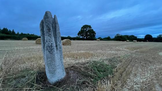
Into the cloud with the wind whipping around the massive mast. The cairn is better than I expected, hollowed out in the centre but with some probable/possible orthostatic stones lying thrown about the place. The note in the inventory reckons that the trig builders were probably responsible for the damage. A lot of the cairn stones are larger than in a lot of other similar sites. They could be the remains of a kerb thrown up onto the pile and the footprint of the cairn extends well beyond this pile and is grass-covered further out. There are a few stones that look like the possible roofstones of a chamber or maybe a passage on the southern arc of the cairn.
I can only imagine what the all round views are like from up here, it being the highest spot for miles. Blackstairs mountain (735m) is six-and-a-half kilometres south of here across the Sculloge Gap but there was no sighting it for me on this day. The return jog back down to the car was pleasant, the sun was sinking and the day was done. Google maps said 80 minutes back to my place.