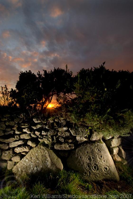
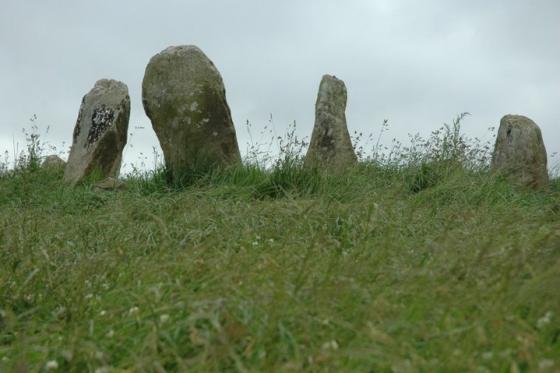
The Modern Antiquarian
Log in
|
Register
Home
Latest Posts
Forums
Maps
Help
Browse Sites
News
Blog
Contributors
The Books
Select
-
Belgium
Denmark
Eire
France
Germany
Greece
Italy
The Netherlands
Norway
Portugal
Republic of Malta
Spain
Sweden
Switzerland
United Kingdom
County Carlow
Dranagh
Standing Stone / Menhir
Dranagh (Standing Stone / Menhir) on The Modern Antiquarian, the UK & Ireland's most popular megalithic community website. 2 images, plus information on many more ancient sites nearby and across the UK & Ireland.
Image © ryaner
Nearest Town:
Graiguenananagh (8km WNW)
OS Ref (IE):
S765383 /
Sheet: 68
Latitude:
52° 29' 27.06" N
Longitude:
6° 52' 25.03" W
Added by
FourWinds
Images (2)
0 discussions
Start a topic
Show |
Hide
Web searches for Dranagh
Flickr
Google
Google Images
The Megalithic Portal
Bing
Stone Pages
Wikipedia
Show map
(inline Google Map)
- Sites within 20 km -
-
Dranagh Cairn(s) (0.67km ENE) (2 posts)
Dranagh (0.97km W) (2 posts)
Dranagh Standing Stone 2 (1.21km W) (4 posts)
Curraun (2.84km S) (2 posts)
Aghnaglear (3.11km NE) (3 posts)
Dranagh (now in St. Mullins) (3.59km WSW) (6 posts)
St Mullin's Well (3.69km WSW) (2 posts)
Gowlin (5.07km N) (0 posts)
Carriglead (5.52km WNW) (0 posts)
Ballinvarry Irish (5.7km WSW) (1 post)
Newtown (6.52km NW) (2 posts)
Brandon Hill (7.16km W) (0 posts)
Cullaun (7.33km WSW) (0 posts)
Brandon Hill (7.9km WNW) (2 posts)
Tinncarrig (8.72km NNW) (5 posts)
Kilmissan (9.25km NNE) (0 posts)
Rathgeran Upper (9.31km NNE) (3 posts)
Commons or Newtown (9.6km S) (4 posts)
Lacken (9.7km S) (0 posts)
Rathgeran Hill (9.76km NNE) (8 posts)
Rathgeran (9.77km NNE) (4 posts)
Kyle (9.79km N) (0 posts)
Kilmissan (9.93km N) (0 posts)
Rathgeran (9.95km NNE) (7 posts)
Robinstown Great (10.18km SE) (11 posts)
Ullard (10.79km NW) (5 posts)
Knockmore (10.82km N) (2 posts)
Irishtown (11.02km SSW) (3 posts)
Knockroe (11.47km NE) (6 posts)
Ryleen (11.73km S) (0 posts)
Knockroe (12.68km NNE) (9 posts)
Glencloghlea (13.01km SW) (6 posts)
Spahill (13.6km NNW) (2 posts)
Crannagh (13.85km NNE) (3 posts)
Shanbogh (14km SW) (1 post)
Ballinasilloge (14.12km NNW) (11 posts)
Crannagh (14.15km NNE) (0 posts)
Carrickbyrne Hill (14.87km SE) (0 posts)
Knockscur (15.13km N) (0 posts)
Killoughternane/Knockscur (15.21km N) (4 posts)
Killoughternane (15.21km N) (0 posts)
Raheevarren (15.91km SE) (0 posts)
Ballyellin and Tomdarragh (16.03km NW) (3 posts)
Tomdarrach (16.56km NW) (2 posts)
Slievebawn (16.97km NNE) (5 posts)
Mount Leinster (17km NNE) (5 posts)
The Nine Stones (17.08km NNE) (4 posts)
Ballybrittas (17.47km E) (8 posts)
Newbaun (17.95km SE) (0 posts)
Kilgraney (18.01km NW) (11 posts)
Ballinkillin (18.15km NNW) (3 posts)
Rossard (18.3km NE) (0 posts)
Smithstown (18.31km SW) (1 post)
Ballinkillin (18.36km NNW) (0 posts)
Coolasnaghta (18.89km NNE) (2 posts)
Whitechurch (19.08km SSW) (0 posts)
The Three Friars (19.19km WSW) (3 posts)
Kilcruit (19.49km NW) (2 posts)
- Add -
-
Add news
Add an image
Add fieldnotes
Add folklore
Add miscellaneous
Add a link
-
Add a site
Add a nearby facility
Add an alternative name/spelling
Images
(click to view fullsize)
Add an image