
Image credit: A. Brookes (14.1.2022)

Looking across the northern barrow towards Bredon Hill, the only hill big enough to breach the cloud.

The northern barrow.

Looking north across the southern barrow.

The southern barrow.

Looking northwest across Herefordshire from the southern barrow. The Clee Hills in South Shropshire rise above the inversion, right of centre skyline.

The northern barrow.

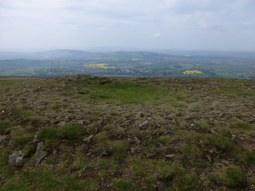
Looking east.

The southern barrow with the northern beyond. Looking towards Worcestershire Beacon and Great Malvern.


Southern barrow with northern (and Worcestershire Beacon) beyond.
Looking into a hazy Herefordshire across the southern barrow. Must be some hillforts in this view.

The northern barrow. I’d like to say this is evidence of continuation of communal gathering, but actually it’s the paragliders out of shot that are the attraction.

The northern barrow.

Looking north across the two barrows. The tall hill in the distance is the Worcestershire Beacon, accompanied by the more modest peaks of Perseverance Hill and Jubilee Hill.

Looking south over the deeply depressed barrow (British Camp hillfort just visible on the right).

The northern barrow prominent on the skyline, from the north along the ridge. Shire Ditch can also be seen running up to the barrow.

Looking south, with the northern barrow in the foreground.

The northern barrow.

The excavation crater in the centre of the southern barrow.

The south and north barrows, looking northwest across Herefordshire.
Visited as part of a walk along Shire Ditch. These two barrows are in a sorry state, having been excavated a little too hard, but their spectacular location more than makes up for it.
They are visible from other parts of the Malverns ridge, especially from the north, but cannot be seen from the lower land either side, making them well situated for ceremony.
One of the barrows was damaged when Shire Ditch was constructed, which is perhaps strange when you consider that the latest thinking dates Shire Ditch to the same period as the barrows, rather than the Middle Ages as was previously thought.
From “Herefordshire Register of Countryside Treasures” (1981 H&WCC):
Two round barrows close together, one measures 9 x 12m and is 0.75m high and an early excavation has left a depression in centre.
Old Shire Ditch boundary has cut off segements of this barrow to E. Some stone can be seen in its construction.
Second barrow shows traces of excavation which reveals mainly stone construction. This barrow is 1m high and 11m in diameter.
Location
On top of Malvern Hills, above Gardner’s Common, Colwall reached by footpath along the top Hills.


