Visited 4.9.10
My 400th post! Who would have thought it? – and a fairly easy visit as well.
Take the Donnington turning; off the A417 near Junction 2 of the M50.
There is a small area you can park immediately to your left. Park here and a little ahead you will see the public footpath sign (also on your left). Over the gate and head for the wooden gate at the top of the right hand corner of the field. Over this gate and immediately on your left is another wooden gate with a ‘Private’ sign on it.
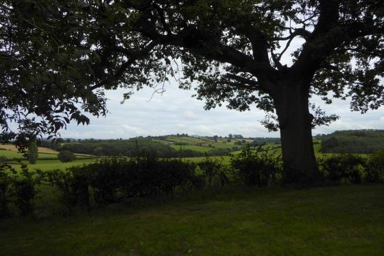
Over this gate and it’s a short, steep walk up the bank to the top of the Hillfort. The whole area is covered with trees and I was unable to make out any ditches / ramparts – other than the steep bank just described.
Nothing else to report and not really worth a visit.
Articles
From “Herefordshire Register of Countryside Treasures” (1981 H&WCC):
“Camp, Haffield, Donnington
Defences of this hill fort, now discernable only as continuous scarp on the slope of hill, enclosure area of 1.9 ha. (4.75 acres). There was an entrance at NE corner and SW end had berm and secondary natural scarp.
Location
On top of hill, partly obscured by woodland, near A417 in NW angle of Haffield Park and about 1 mile E of St. Mary’s Parish Church, Donnington.”
Sites within 20km of Haffield Camp (Donnington)
-

Shire Ditch
photo 18forum 1description 4 -

Kilbury Camp
photo 8description 2link 1 -

Midsummer Hill
photo 36forum 1description 5link 2 -

Bradlow Knoll
photo 2description 2 -
Wall Hills Camp (Ledbury)
description 3 -

Waum's Well and Clutter's Cave
photo 8description 5 -

British Camp
photo 67forum 2description 9link 3 -
Gadbury Bank
description 1 -

Colwall barrows
photo 22description 2 -
Oldbury Camp
description 2 -

The Colwall Stone
photo 6description 5link 1 -

Castle Hill Wood
photo 6description 2 -

Capler Camp
photo 18description 5 -

North Hill and Table Hill, Malvern
photo 10description 4link 2 -
Cradley Camp
description 1 -

Backbury
photo 13description 1 -

Cherry Hill Camp
photo 11description 2 -

Towbury Hill
photo 1description 1 -

Chase Wood Hill
photo 16description 1 -
Stanford Bishop
photo 5description 3 -

Welshbury
photo 17description 3