The hill fort viewed from Strodgemoor Bottom. Didn’t actually get into the fort’s interior as the light was fading too quickly. Next time.
Image credit: A R Cane
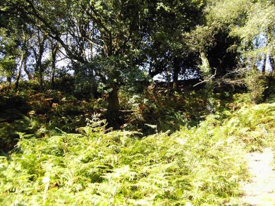
The hill fort viewed from Strodgemoor Bottom. Didn’t actually get into the fort’s interior as the light was fading too quickly. Next time.

Looking north east.

The view from Vales Moor. Strodgemoor Bottom barrow is just visible on the far right.

Castle Hill fron the top of a barrow on Vales moor.

The eastern bank.

The western inner rampart.
A medium sized hillfort just inside the New Forest national park. Its in reasonable condition for the most part although it is cut through by a track leading to houses.
This is a univallte hillfort enclosing five acres. The bank is at its highest on the eastern side, as the west side slopes steeply away.
The excellent ‘Hampshire Treasures’ resource gives the following information – “Castle Hill. Univailate hill fort. Encloses an area of about five acres. Surrounded by a single rampart and ditch. Interior overgrown and marshy in places. O.S.A. No. SU10 SE9. Ref: Records of Burley, p.203.” This is a scheduled ancient monument, no.226.
The Parish of Burley probably derives its name from the Saxon “bury” which usually denoted an Iron Age hill fort (in this case Castle Hill).
A commemorative stone apparently stands at Blackbush, Castle Hill Lane (SU199036). Dated 1823. Erected by Thomas Eyre. Inscription reads:- ‘Near this is the remains of a camp or castle either of the ancient Britons, Romans or Saxons, with the Agger. Valium, Fosse, Tumulus or Barrows. Be civil, quiet and useful, 1823’. umm, yeah...whatever.