One of the pleasures of ‘peel and reveal’ is the negative imprint you get in the grass roots
One of the pleasures of ‘peel and reveal’ is the negative imprint you get in the grass roots


I arrived at the Loups area via Goldborough. Stan Beckensall and Tim Laurie have documented 11 sites in this area, 8 of which are on MOD land are require permission from the range warden to visit.
Of the 3 sites that are accessable, I have dealt with one in the Goldborough posting, 1 is covered with vegetation so that leaves 1 out of 11 but don’t despair ‘cos it’s a doosie!
To get to this rock you need to follow the Pennine Way across Cotherstone Moor and the pass through the gate at Loups Hill. You’ll know your there by all the MOD signs.
The rock is about 40 Metres from the gate, as you walk down the path it’s on your right just before the boundary fence on your left.
The rock looks pretty unremarkable until....you peel and reveal 4 lovely cups and rings all in a row and pecked grooves.
Don’t forget to put the turf back over the rock, these boys have lasted a few millenia and should last a few more if we keep them covered.
This is what Stan and Tim say about the beautiful ruins of West Loups.
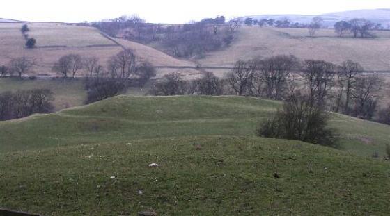
“The West Loups farmhouse site has had occupation that extends from an early circular enclosure containing an early medieval longhouse and partly enclosing the still-visible remains of a farmhouse dating from the 16th century. In one sense the farm seems shut-in by the valley, with a northern outcrop of sandstone forming a distinct ridge, but the view east is of a wide , gently-sloping valley broken at the east end by the Ravock Ridge. The motifs mark the margins of this area, with three in a special context, two at springs and one in an old enclosure”.
Taken from;
Prehistoric Rock Art of County Durham, Swaledale and Wensleydale.
Stan Beckensall and Tim Laurie
County Durham Books
1998