
Goodbye rampart...
Image credit: Mike Purslow
Goodbye rampart...

The N side. Rampart collapsing over cliff to R of image.
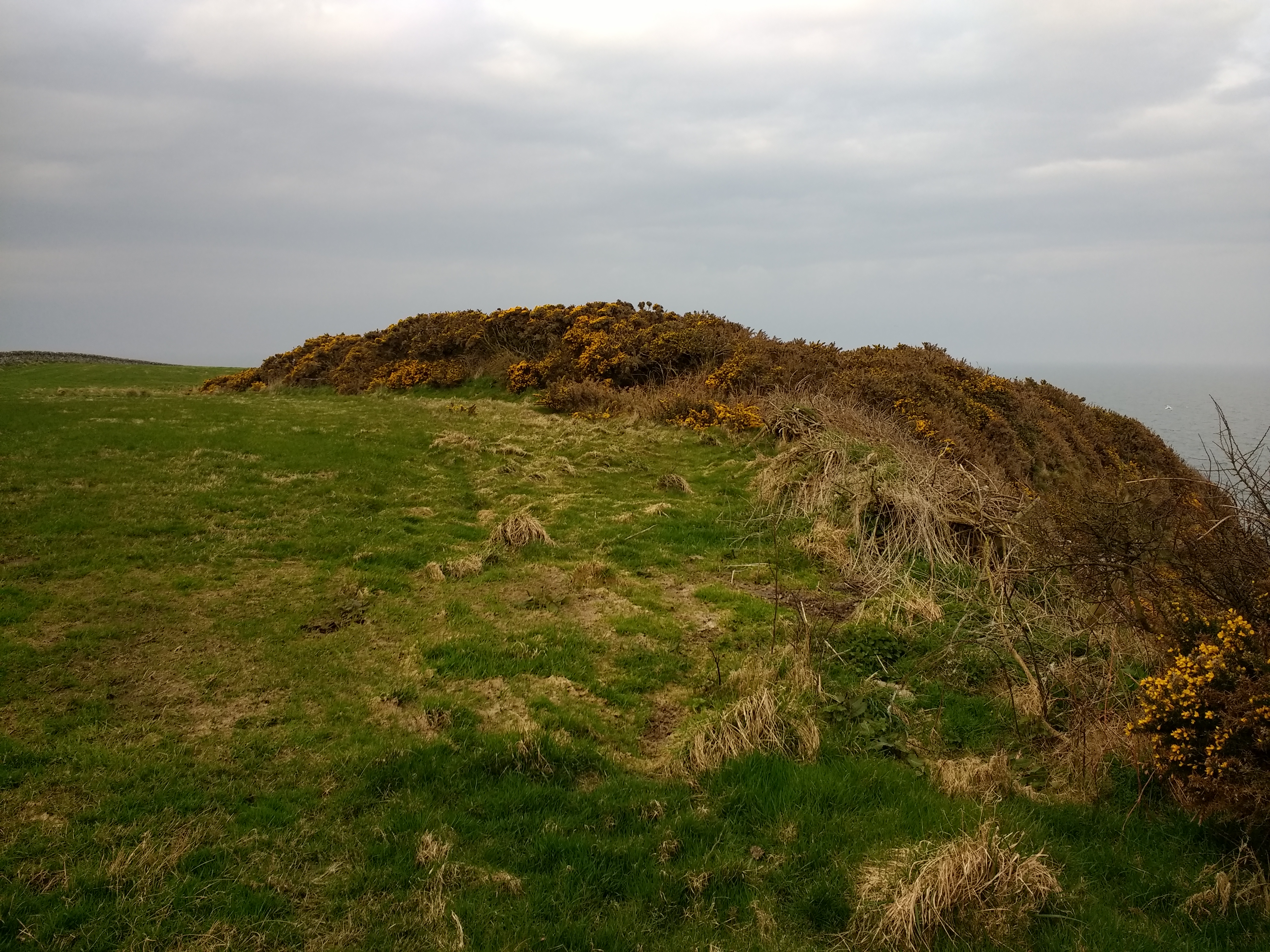
The landward rampart. Gorse and bramble cover was too thick to explore within.

The fort – or what’s left of it – is the gorsey area in the centre of the image. Seen on the approach from Isle of Whithorn.


