


The ‘First and Last Hill in Britain’ should possess something to commemorate the fact, right? Err... you could say that.


Rumours of Nessie’s migration to warmer climes are still to be substantiated.


The dreaded Land’s End hotel rises beyond. For you, ze war is over....

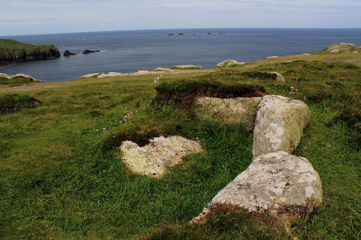
Looking across the obvious cist to distant Cape Cornwall

Quite a decent monument for such an exposed – to the tourist boot – location..
We’ve all seen cairns, waded across to cairns, climbed up to cairns, walked miles to cairns – sometimes with lots to see, sometimes with very little to see.
This cairn is a bit of everything except you can hardly see it as most of is in a small loch beneath the water. However what you can see is the top of a slab and when the wind calms down you can just about make out the side slabs of a chamber or cist.
In Aberdeenshire we have had a lot of rain this year, it appears to be same over in the west – will have to take a snorkel next time.
If heading across the B8025 – Crinan Moss road, there is a crossroads, head west. The road has a little kink, stop there, plenty room to not obstruct any traffic. A cairn covered in water sits to the north.
Worth a visit, probably in drought conditions.
Visited 10/04/2024.
Directions to Knockeen Cairn from N: Head for Barr Village in South Ayrshire. Turn left onto Glenginnet Road at the dead end sign. Stay on the narrow road for c. 4 miles to the end of the road. Turn right for Glentrool/Newton Stewart. Stay on this single track road for c. 1.5 miles to reach a car park on the right at NX 3412 9371. Head E through the gate for Pinbreck Hill. There is no path so make your best way upwards through rough boggy ground, heading E towards the cairn on the summit. My route is viewable on Pinbreck Hill Cairn.
Directions to Knockeen Cairn from S: Head for Newton Stewart town centre. At the end of Victoria Street head straight on for Girvan A714. Follow this road for c. 8.5 miles to the Glentrool junction. Take the right turn to Glentrool. Stay on this road for c. 8.4 miles to Rowantree Toll. Bear left onto the cycle route for Carsphairn/Ayr. Follow this single track road for c. 2.3 miles to a car park on the left at NX 3412 9371. Head E through the gate for Pinbreck Hill. There is no path so make your best way upwards through rough boggy ground, heading E towards the cairn on the summit. My route is viewable on Pinbreck Hill Cairn.
Directions to Knockeen Cairn: Head for Barr Village in South Ayrshire. Turn left onto Glenginnet Road at the dead end sign. Stay on the narrow road for c. 2.6 miles to reach a farm track at NX 3079 9570, c.130 yards W of Knockeen Farm. Park up and follow the farm track SW along the margin of the field towards the E end of the trees. Knockeen Cairn is located adjacent to the SE corner of the trees. My route is viewable on Knockeen Cairn.


