|
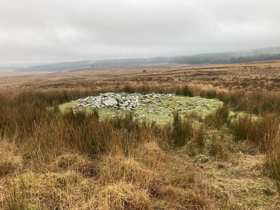
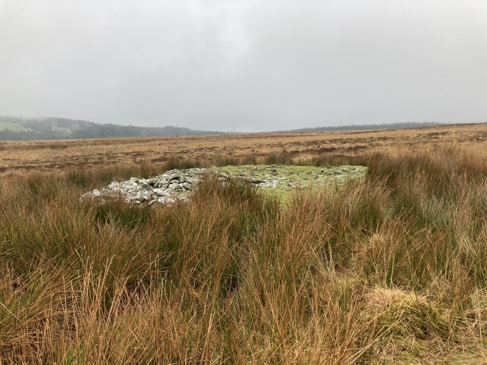
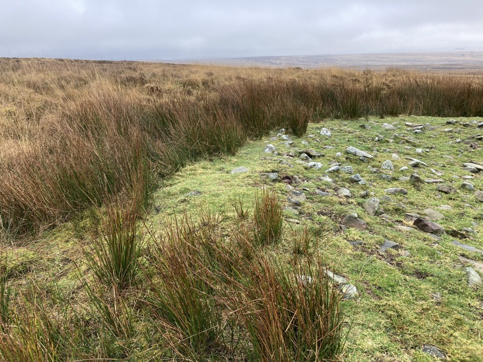
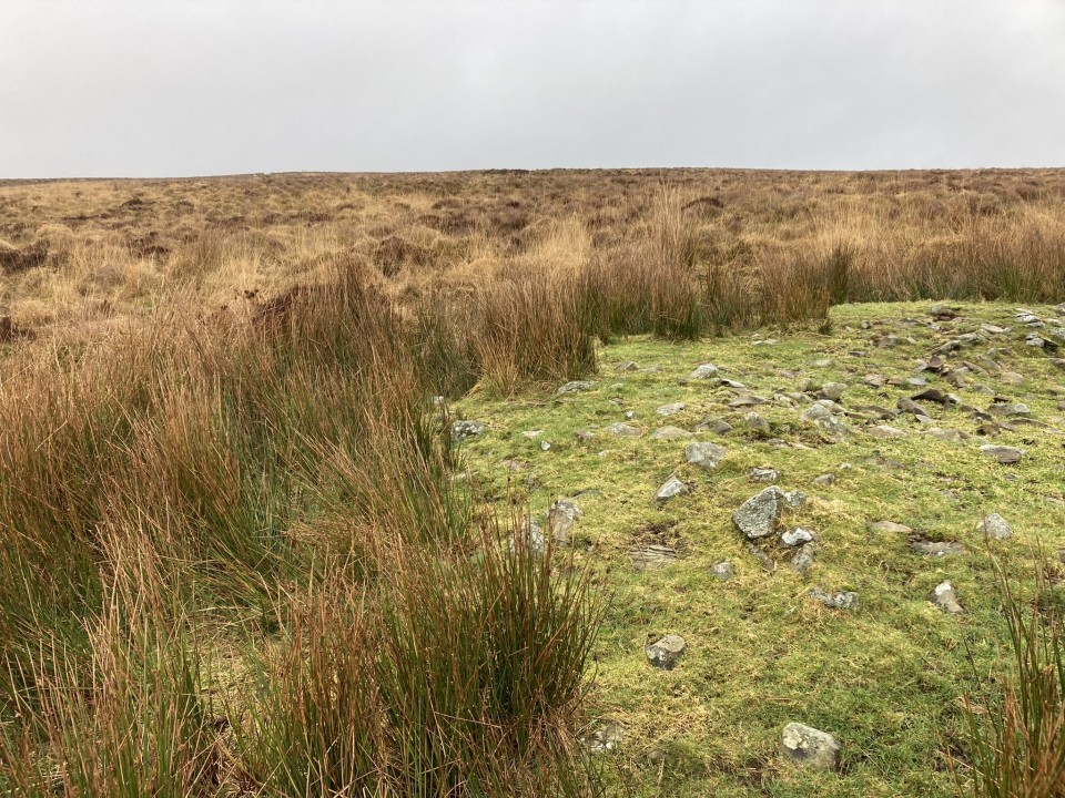
Directions to Altigoukie Burn Cairn: Take the W turn to Glenluce off the A75. Turn left for New Luce after 0.2 mile. Stay on this road for c. 5 miles to reach New Luce. Go straight on at the top of Main Street for 1.3 miles to reach Barlure Farm track. There is a room for one car to park at the junction. Walk along Barlure Farm track for c. 225 yards to reach a cattle grid. There is a sign which reads "Start of path to Kilfeddar farm - Distance 2.9km". Continue W along the track for c. 150 yards to the centre of Barlure Farm. Turn left at the farmhouse heading downhill through pasture to Barlure Farm Railway Bridge. (There was a pool of water one foot deep under the bridge: lucky I was wearing wellies!) Head NW along the muddy track beside the railway line. Continue along this track for 0.8 miles to NX 15845 67587, 100 yards before it crosses a stream. Head NE across rough pasture for the railway line for c. 0.5 miles. When the glen narrows cross a fence, head W for Altigoukie Burn in boggy moorland. Altigoukie Burn Burnt Mound is located on the S bank of the burn at NX 1633 6810. Altigoukie Burn Cairn lies c. 110 yards NW from the burnt mound. My route can be viewed on Altigoukie Burn Cairn and Burnt Mound.
|
Posted by markj99
24th February 2024ce
|
|
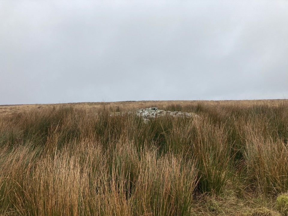
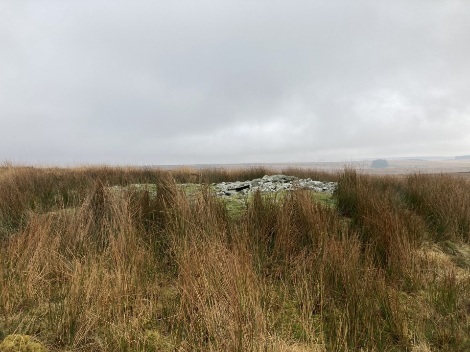
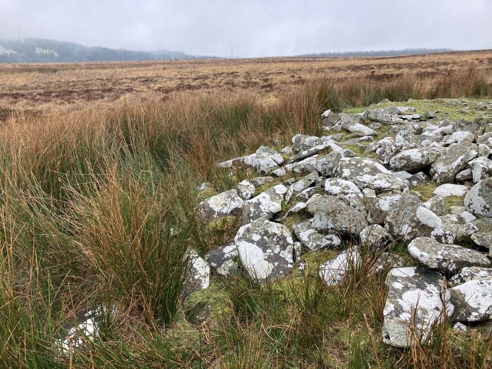
Directions to Drumanwherran S Cairn Cemetery: The access to the cairn cemetery is complicated by the construction of a nearby windfarm which may cause future restrictions. The following route is currently open: Take the unsigned New Luce turn off the straight on the A77 at NX 08557 63769, c. 0.3 miles N of the A751 Innermessan junction. There are traffic cones on the road restricting it to one lane. Follow this road for c. 5.3 miles to reach the disused Penwhirn Filter Station. Continue past the Penwhirn houses for c. 200 yards to a dead-end single track left turn over a bridge. This is the road to Lagafater Lodge. Take this road for c. 1 mile to reach Darnigap Farm. A track leading W into forestry starts opposite Dalnigap Farm. It is possible to park 50 yards up this track. The track runs for c. 1.2 miles through the trees. Follow this track on bike or foot to reach the dead-end. The track becomes a forest ride which is boggy underfoot. Follow this NW for c. 0.4 miles to the end of the forest ride. Head W for c. 50 yards to cross the burn at a narrow channel. Head NW through boggy rushes towards a prominent natural mound. Canmore Id : 61893 is c. 40 yards N, a circle covered in rushes. Follow a rough 4x4 track N for c. 120 yards to reach a small grassy cairn, Canmore Id : 61892. The most obvious landmark on Drumanwherrran Moor is c. 50 yard N along the 4x4 track. It is a modern Shepherds Cairn measuring c.10 feet high in the centre of a large robbed cairn, listed as Canmore Id : 61935. Take a 4x4 track heading W from here, passing a natural mound then bear S to Canmore Id : 61894, a grassy cairn with a recumbent slab in its centre. My walking route can be viewed on Drumanwherran S Cairns.
|
Posted by markj99
18th February 2024ce
|
       
|
Posted by markj99
15th February 2024ce |