|
|
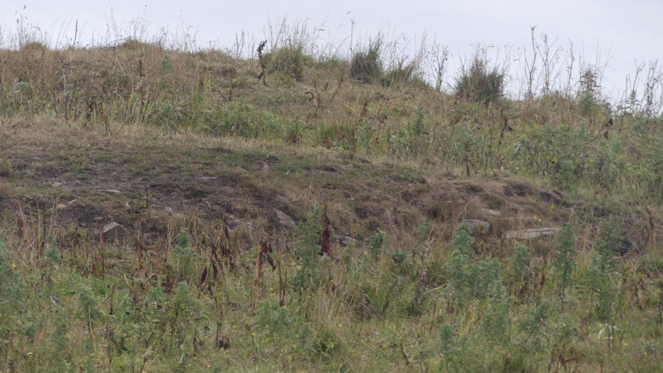
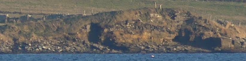
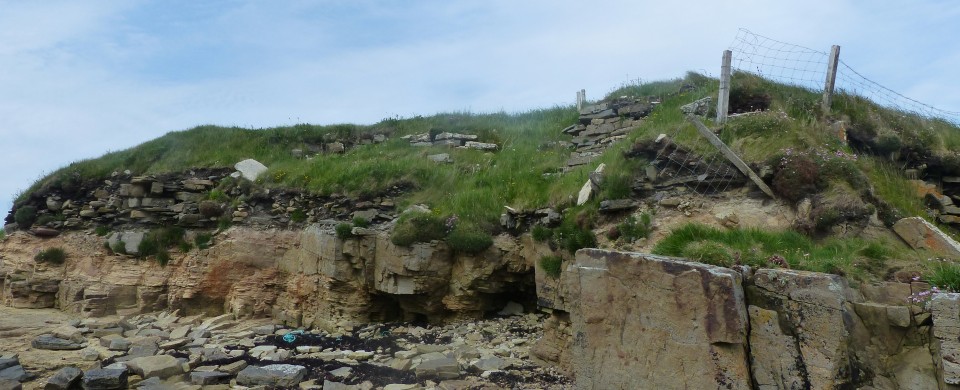
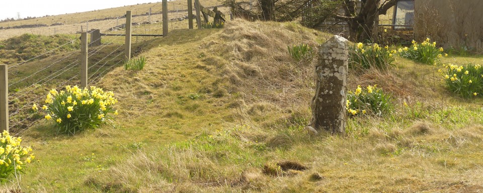
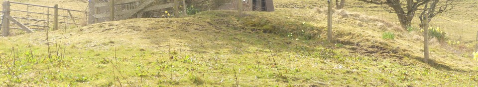
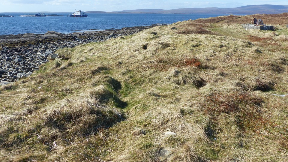
Coming down the road I first thought it to be the large mound I saw first, but this is a Great War battery. Further downhill a slightly lower mound is the castle A few have proposed this a a possible broch, but it lacks the usual outline. There was a cow with calf in the field and so I contented myself with photos taken with my ultrazoom camera. Fortunately this showed me a couple of the exposures of mound material. And it appears to me that there are two levels to the mound. Probably nothing, but I was minded on of one of the mounds in the site of The Cairns up the coast at Ireland. This too had been given a military designation, that of 'Danish fort'. Whence came Hoose-ha ? Perhaps some modern fancied it as being a house platform 'house hall' ? Likely to remain an enigma forever and a day.
|
RCAHMS NMRS record no.HY20NE 5
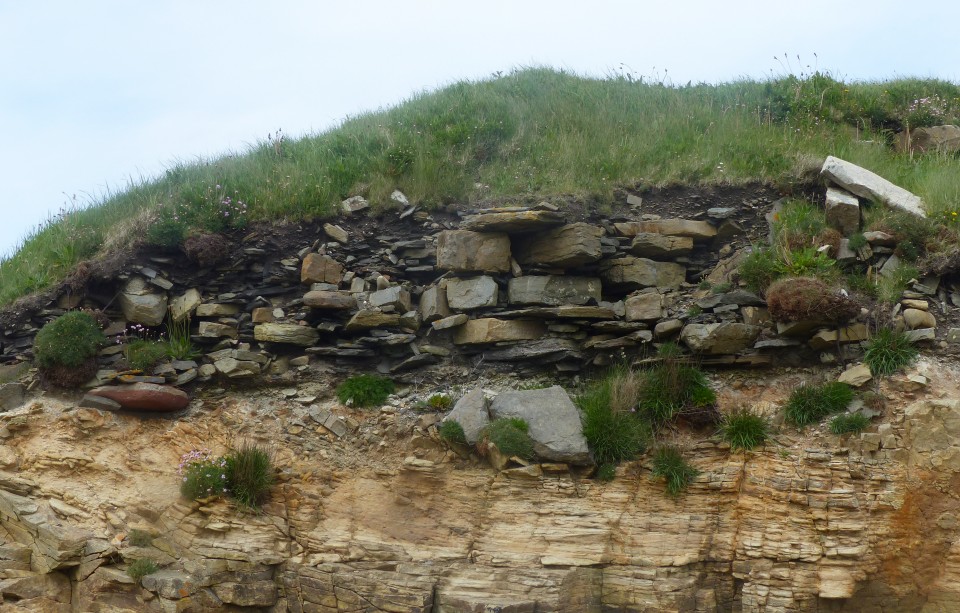
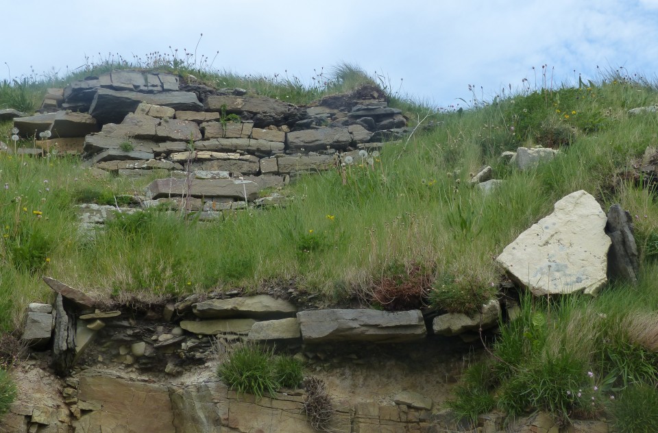
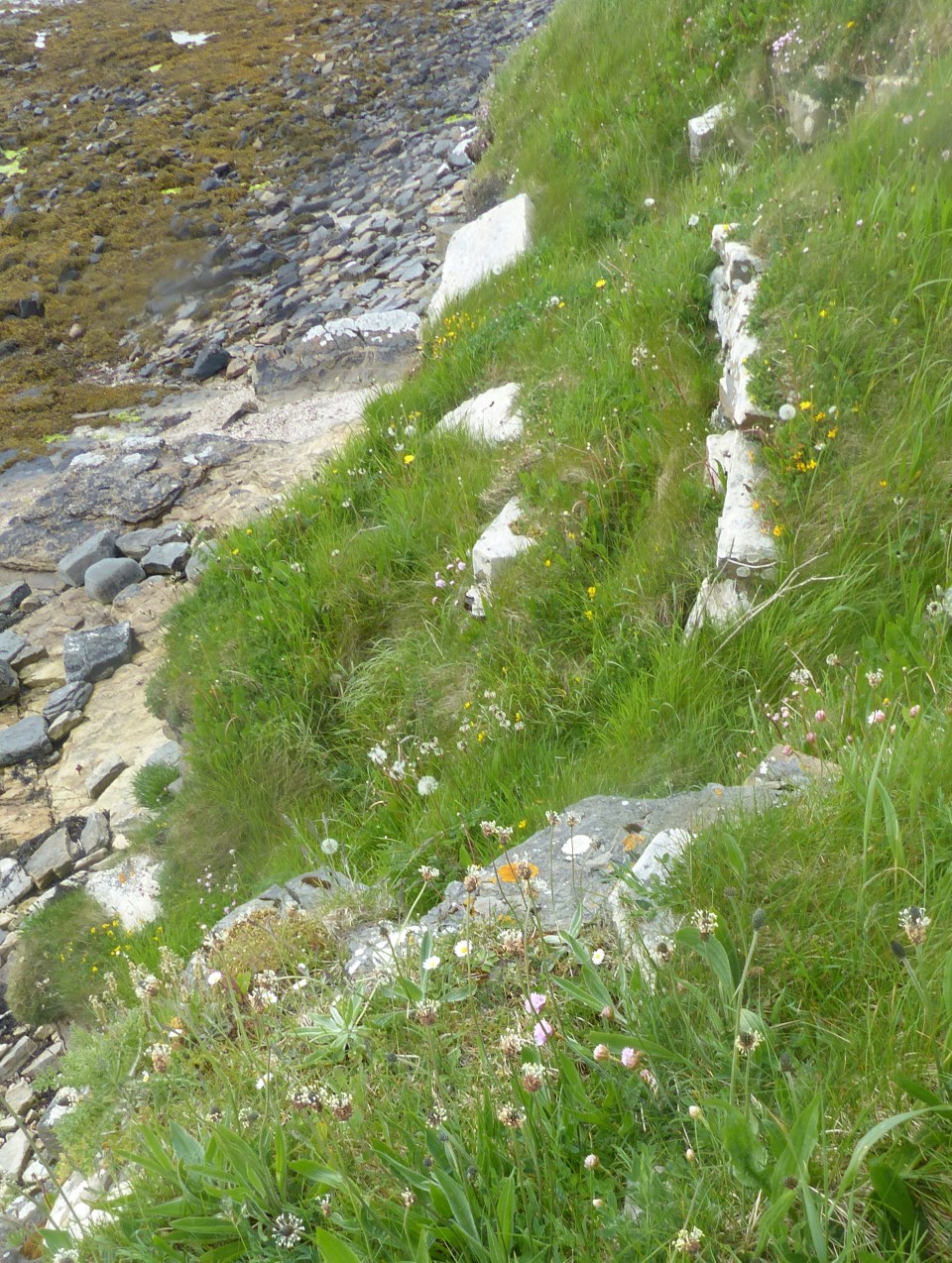
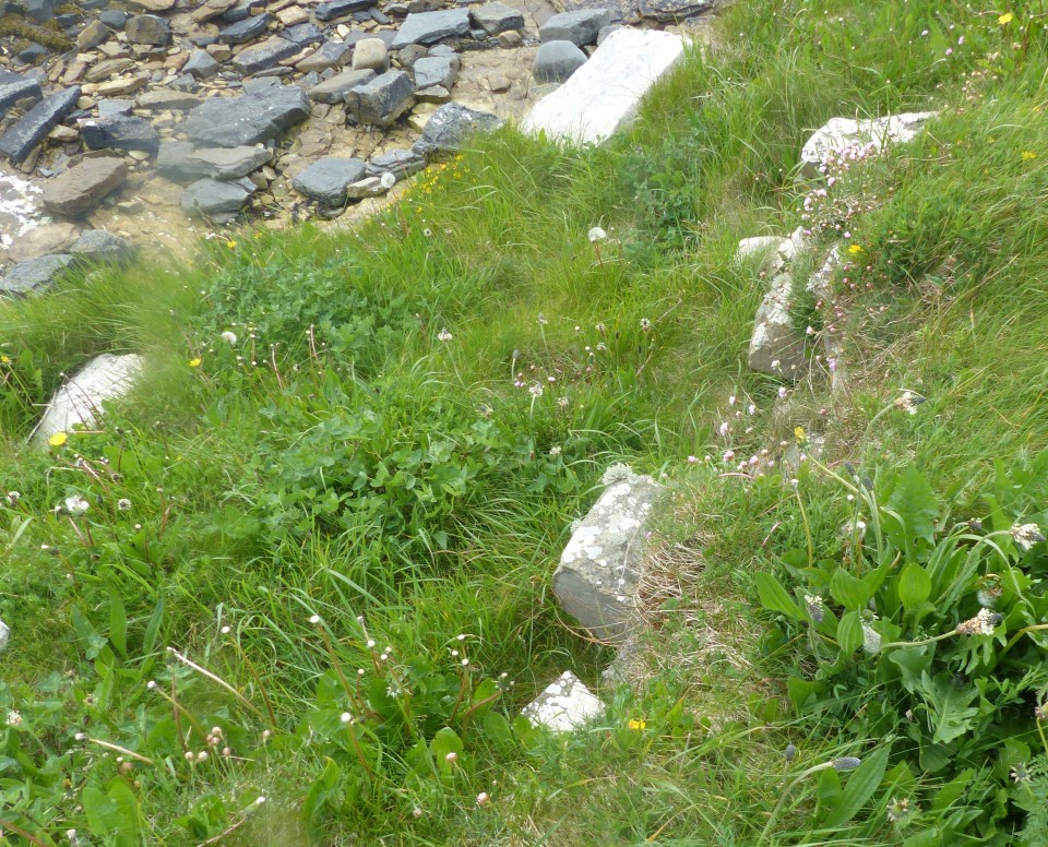
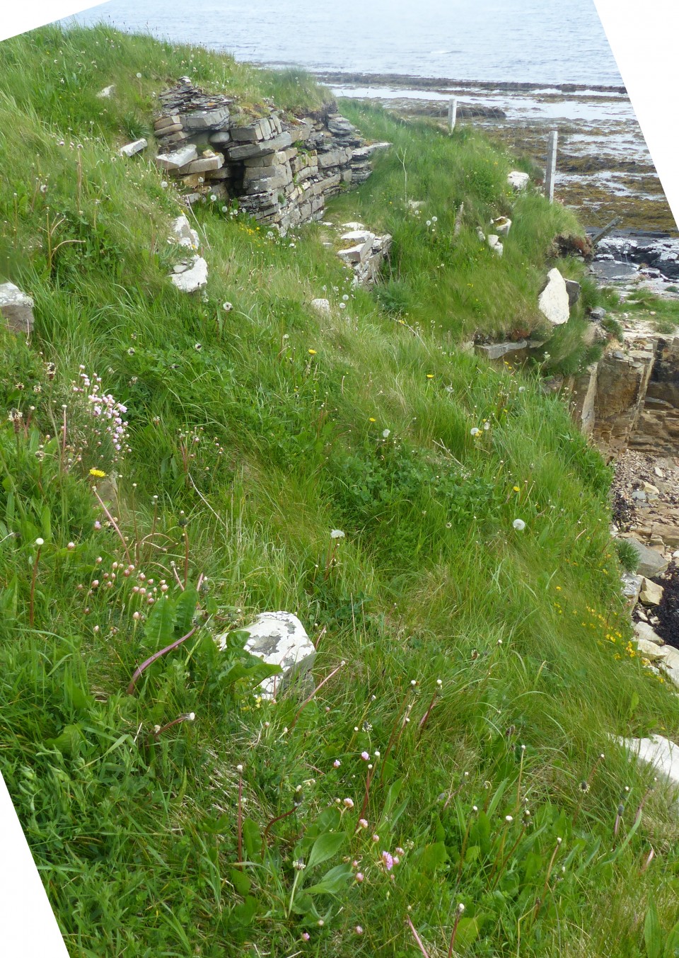
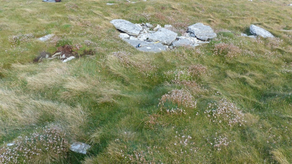
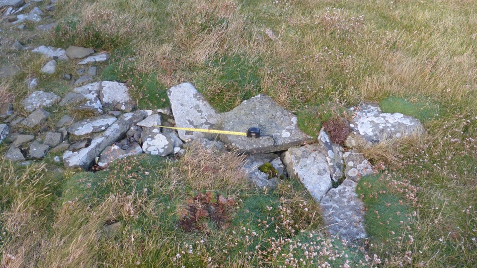
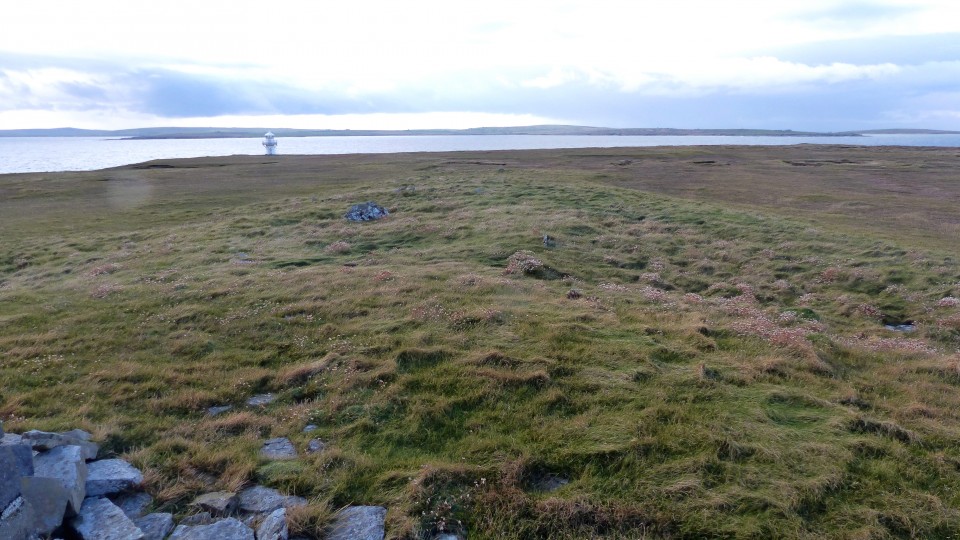
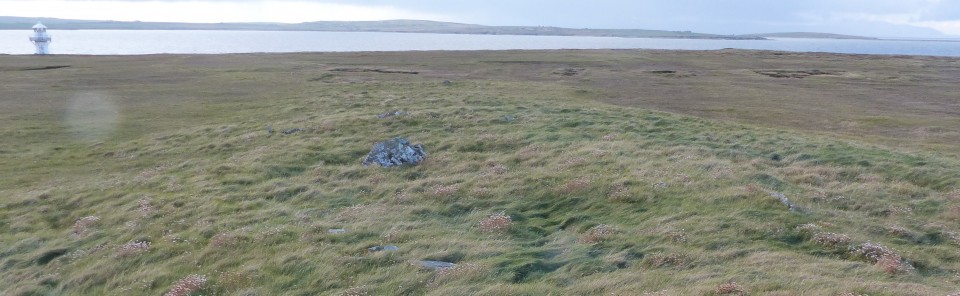
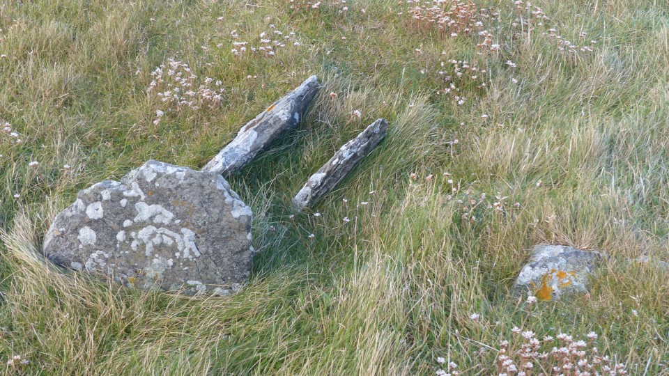
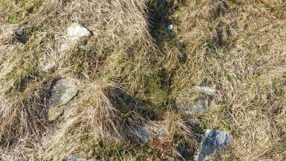
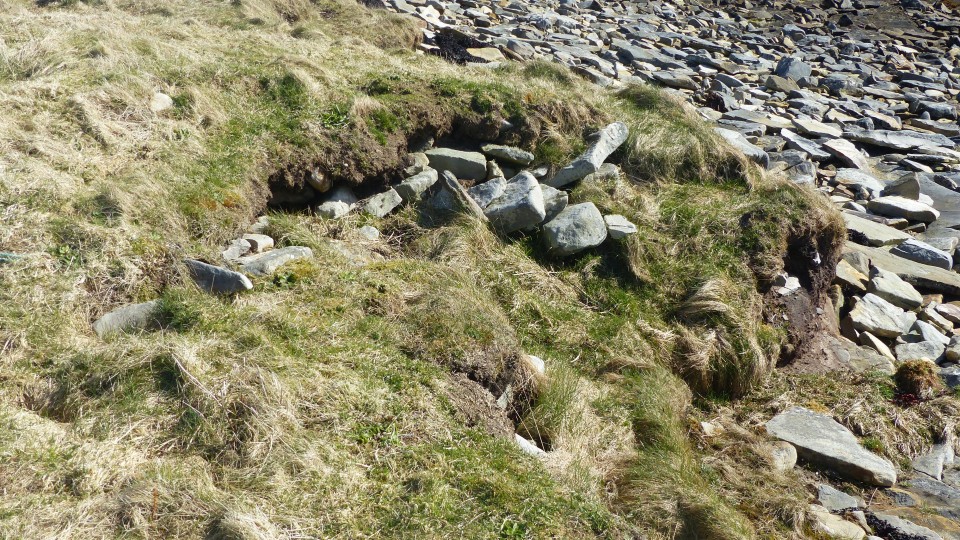
Close to the shore on the north side of the Sower Road is a large unopened mound of earth and stones which the Name Book states locals called an old castle and appears on the 25" as a castle site. By 1928 it was known locally as the "Hillock of Hoose-ha" and a visit by the commission records "traces of a large indeterminate structure". Nowadays thought to be a settlement mound, it is roughly rectangular - some 24m E/W by 19m - and about 2m high. No walling has been seen but stone is exposed in places around the periphery and cairn-like material shows in two "mutilations" at the centre.
|
  
|
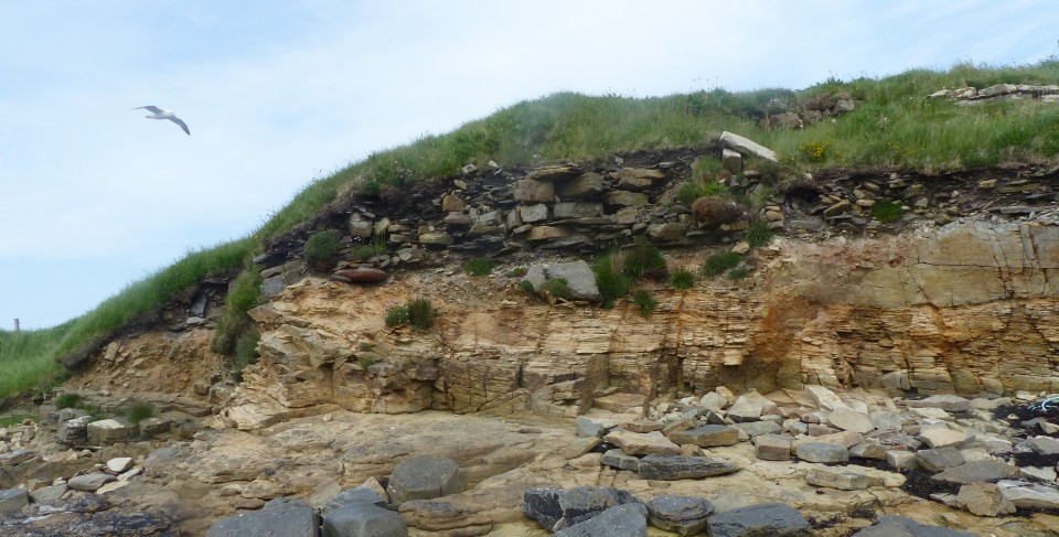
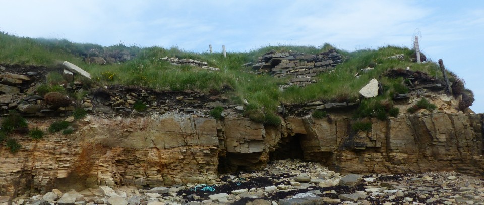
"Countrywoman" visited this site in the 60s; partial collapse in 1964 brought out a building in the outer wall. In 1967, a wall-chamber was revealed and she noted a structure in the nearby shore under low banks. Strong walls had been exposed a year later. The site suffered serious gale damage in 1984.
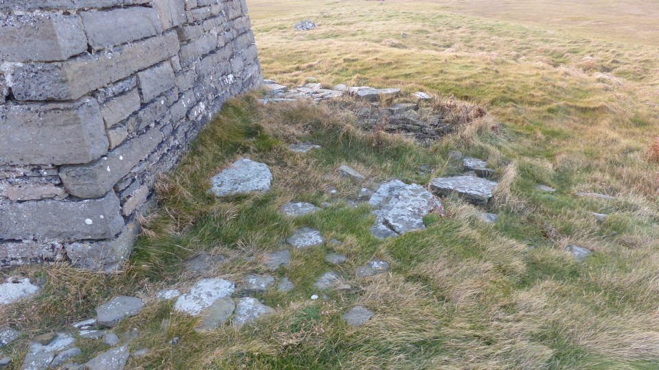
The main feature is part of the broch tower's NE wall arc standing 4' high and having a scarcement with rubble-filled alcove thought to have been access to a stair/gallery. A later wall cuts across the wall arc at the east.
RCAHMS site no. HY 51NW 10 additionally mentions a ruinous naust up against the W side and, also at the W, outbuilding traces including an edge-slab in the shoreline. Then E of the broch there is rubble covering a well-paved floor set directly on the natural.
|
              
|
  
|
Coming out of Finstown, just before the start of the Binscarth Wasdale Walk on the opposite side of the main road a farmroad goes up a slight rise and the mound is by Rowamo Cottage.
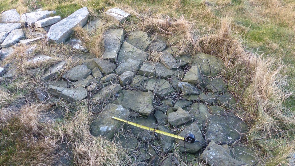
RCAHMS record no.HY31SE 16 is a burnt mound ~15m D by 1.2m ht. damaged by a ditch on the SW crossed by a fence. A small dig on the N side shows burnt material; rowamo 'heap of embers'
|

|
|
On the Ness of Brodgar website, in the first of Sigurd Towrie's article on long cairns, one such is suggested as possiby being one on Outer Holm. There is a long low hillock next to the circular remains of a mill mound, but a look on Bing Satellite holds out little hope, all I see is a few very linear features on the 'site' - pity as I often photograph the place.
|
| |