Shapinsay is a wild and windy place today, as we walk from the ferry at Balfour village on our pilgrimage to the Mor Stein. On the way there, just as we approached a ruined old kirk, an intriguing green mound caught our attention perched right on the coast.
Lest the wind whips away the map, we duck into the shelter of the derelict church, the OS map confirming our suspicions that the mound is a ruined broch. Behind the church is an ivy clad vault, wonderfully atmospheric and containing the graves of the Balfour family, responsible for Shapinsay's castle, and from here we notice a gate that looks as if it leads to the field containing the broch. As it turns out it doesn't, merely opening into a graveyard annex, but back on the 'main road' an open gate into an empty field next to the old church allows us to access the broch.
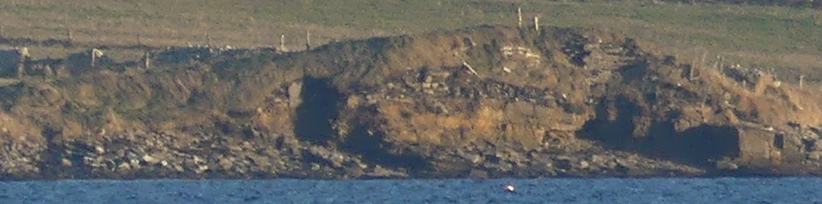
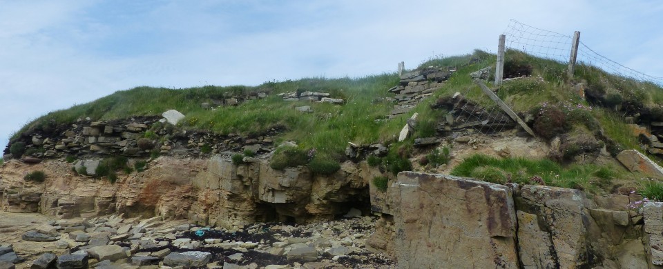
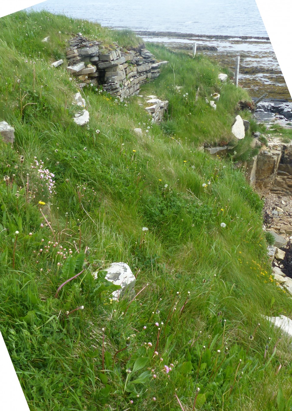
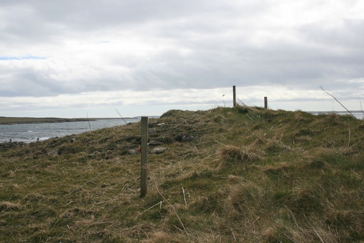
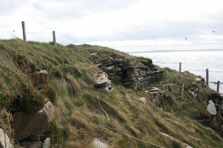
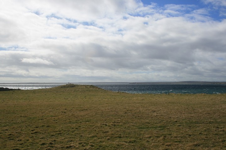
A large flock of Oystercatchers sweep by us as we cross the field, their raucous calls a constant soundtrack on Orkney. The low green lump of the broch is clearly visible against the sea, and behind it the nearby island of Helliar Holm, with its chambered cairn clearly visible atop that island's prominent hill.
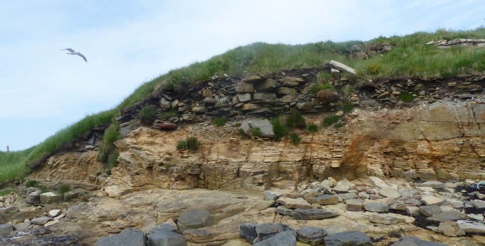
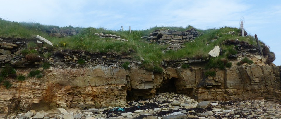
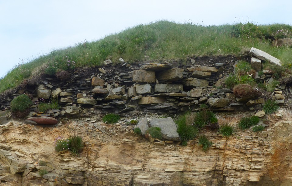
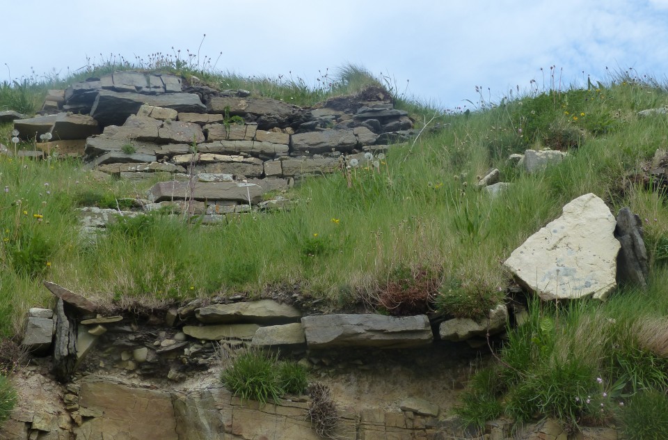
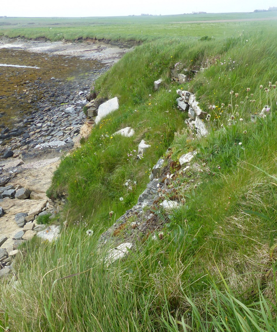
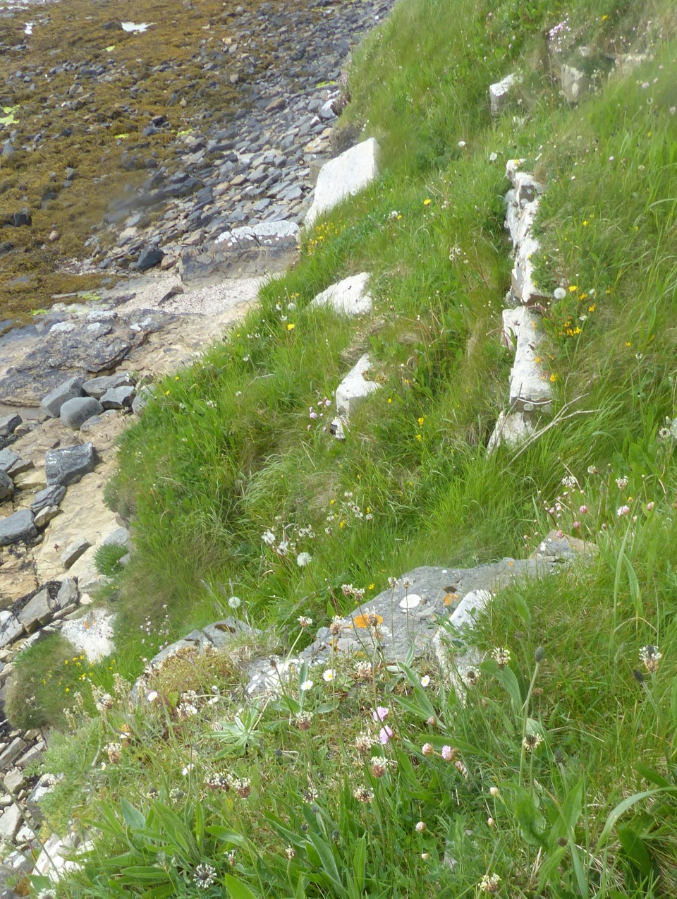
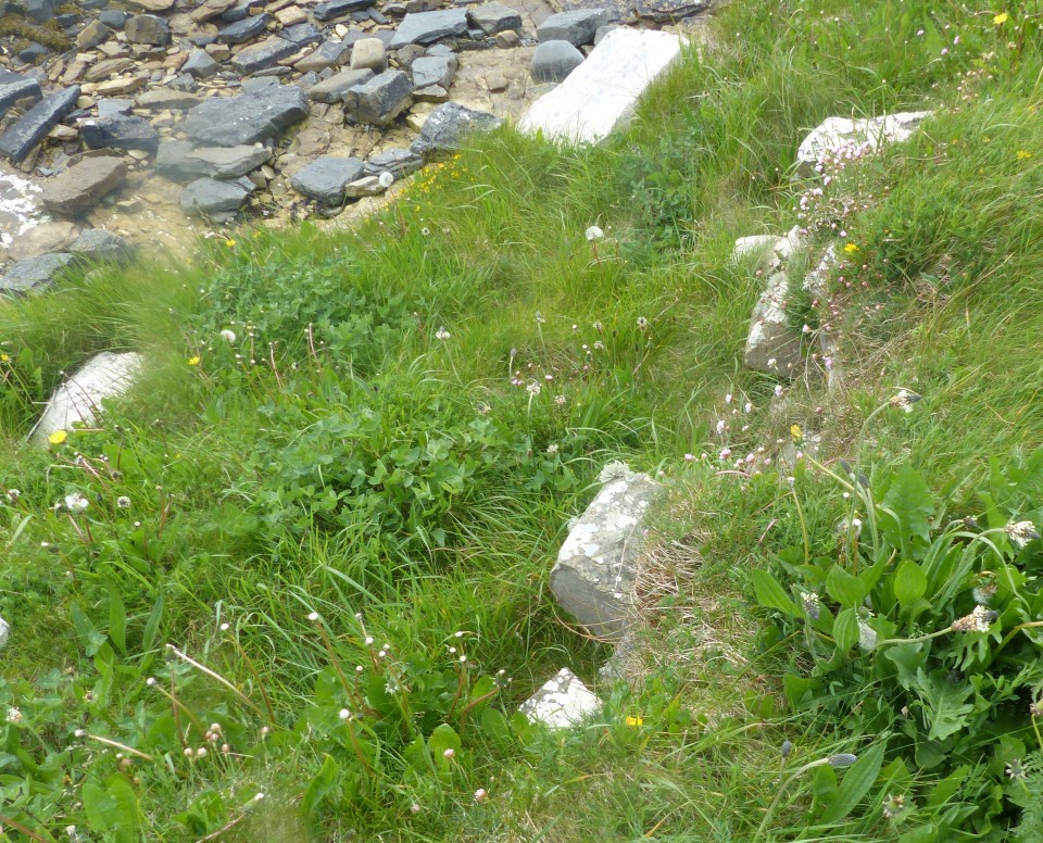
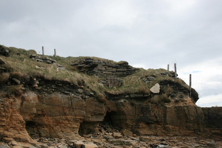
At the broch some stonework is visible on the landward side, but not until you pick your way across the rickety wire fence and down to the foreshore that more of the sweep of the broch's wall is visible perched precariously on the low cliff edge, the remains having succumbed to erosion long ago. Apparantly the site suffered heavily in the storms of February 1984, and it looks as if another heavy storm might be enough to finish it off for good.
Down on the shore amongst the rocks it is more sheltered, a fine place to look out to sea, or up to the broch wall above you. Although little now remains of this ancient site it still retains a sense of presence, and is one of those places that is more than the sum of its parts, a lovely spot to spend a while.
As we turned to leave a huge rainbow, a thick band low in the sky, quite unlike any I'd ever seen before, had appeared behind us, just another magical sight in Orkney.
"Countrywoman" visited this site in the 60s; partial collapse in 1964 brought out a building in the outer wall. In 1967, a wall-chamber was revealed and she noted a structure in the nearby shore under low banks. Strong walls had been exposed a year later. The site suffered serious gale damage in 1984.
The main feature is part of the broch tower's NE wall arc standing 4' high and having a scarcement with rubble-filled alcove thought to have been access to a stair/gallery. A later wall cuts across the wall arc at the east.
RCAHMS site no. HY 51NW 10 additionally mentions a ruinous naust up against the W side and, also at the W, outbuilding traces including an edge-slab in the shoreline. Then E of the broch there is rubble covering a well-paved floor set directly on the natural.