Showing 1-50 of 12,735 posts. Most recent first | Next 50     
|
      
|
   
|
   
|
         
|
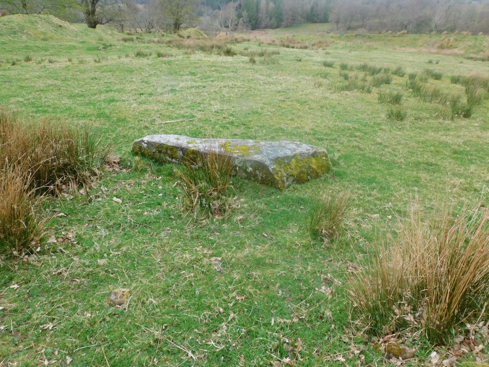
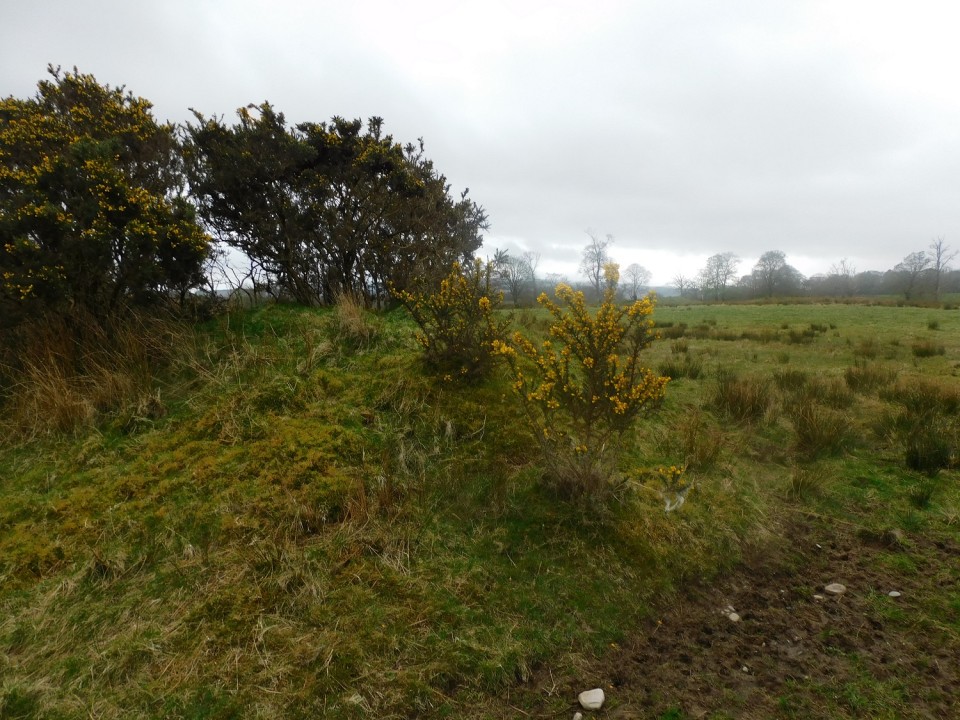
The second last leg of the a circular walk took me back to the road, heading east from Ardnaw Cairn, to walk southwards down the hill past Kilmory Chapel. Walk past the house surrounded in trees and the hillfort will be easily spied. It is an easy climb, east, to get to fort, best approached from the north-east.
The east defences are a cliff, part of the north east defences are similar - the entrance to fort is also in the north east - it's not very steep, a gentle slope.
Massive walling, in places over 3m wide, at some stage surrounded the oval shaped site, 26m by 18m. As per usual in these parts a marker cairn was built on top of the southern wall.
Tremendous views into Kilmory Bay, over to Jura / Islay and north to the sea lochs.
Visited 08/04/2024.
|
      
|
 
|
 
|
 
|
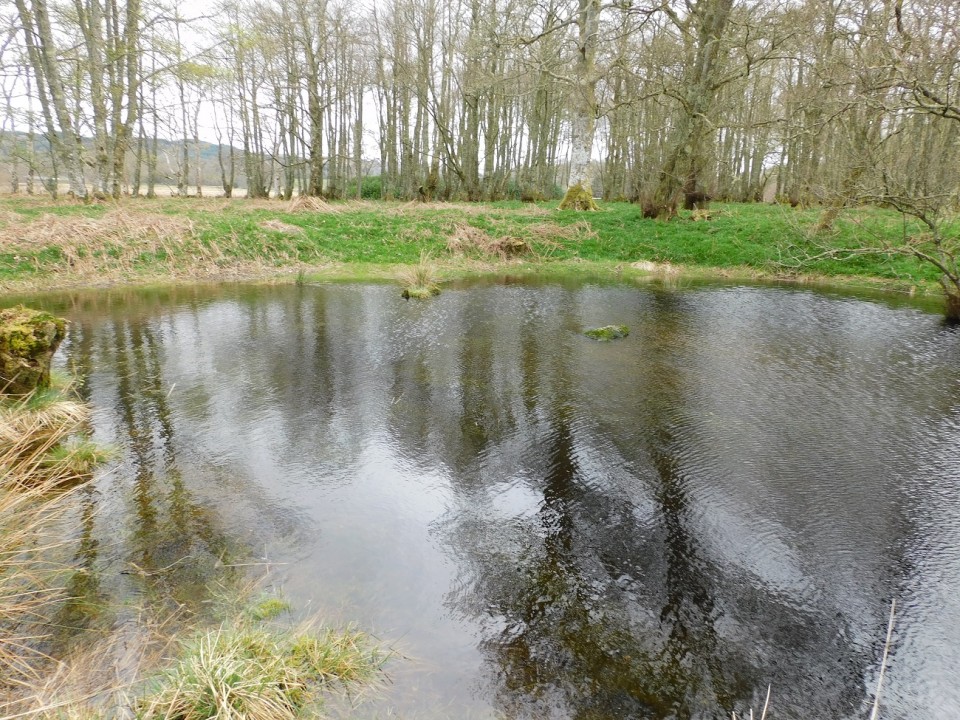
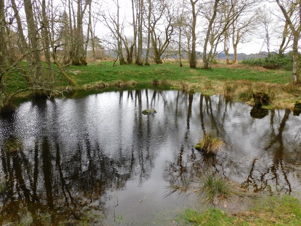
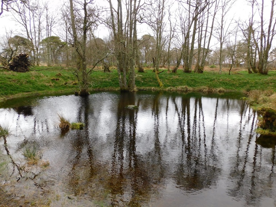
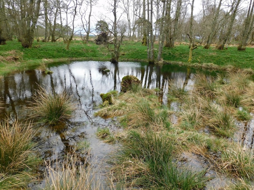
The wee loch emptied of water.
|

|
Showing 1-50 of 12,735 posts. Most recent first | Next 50
Still doing the music, following that team and getting lost in the hills! (Some Simple Minds, Glasvegas, Athlete, George Harrison, Empire Of The Sun, Riverside, Porcupine Tree, Nazareth, The Avalanches, Public Service Broadcasting on the headphones, good boots and sticks, away I go!)
Turriff, Aberdeenshire
https://www.thedeleriumtrees.com/
|
| |