The Modern Antiquarian
Log in
|
Register
Home
Latest Posts
Forums
Maps
Help
Browse Sites
News
Blog
Contributors
The Books
Select
-
Belgium
Denmark
Eire
France
Germany
Greece
Italy
The Netherlands
Norway
Portugal
Republic of Malta
Spain
Sweden
Switzerland
United Kingdom
County Meath
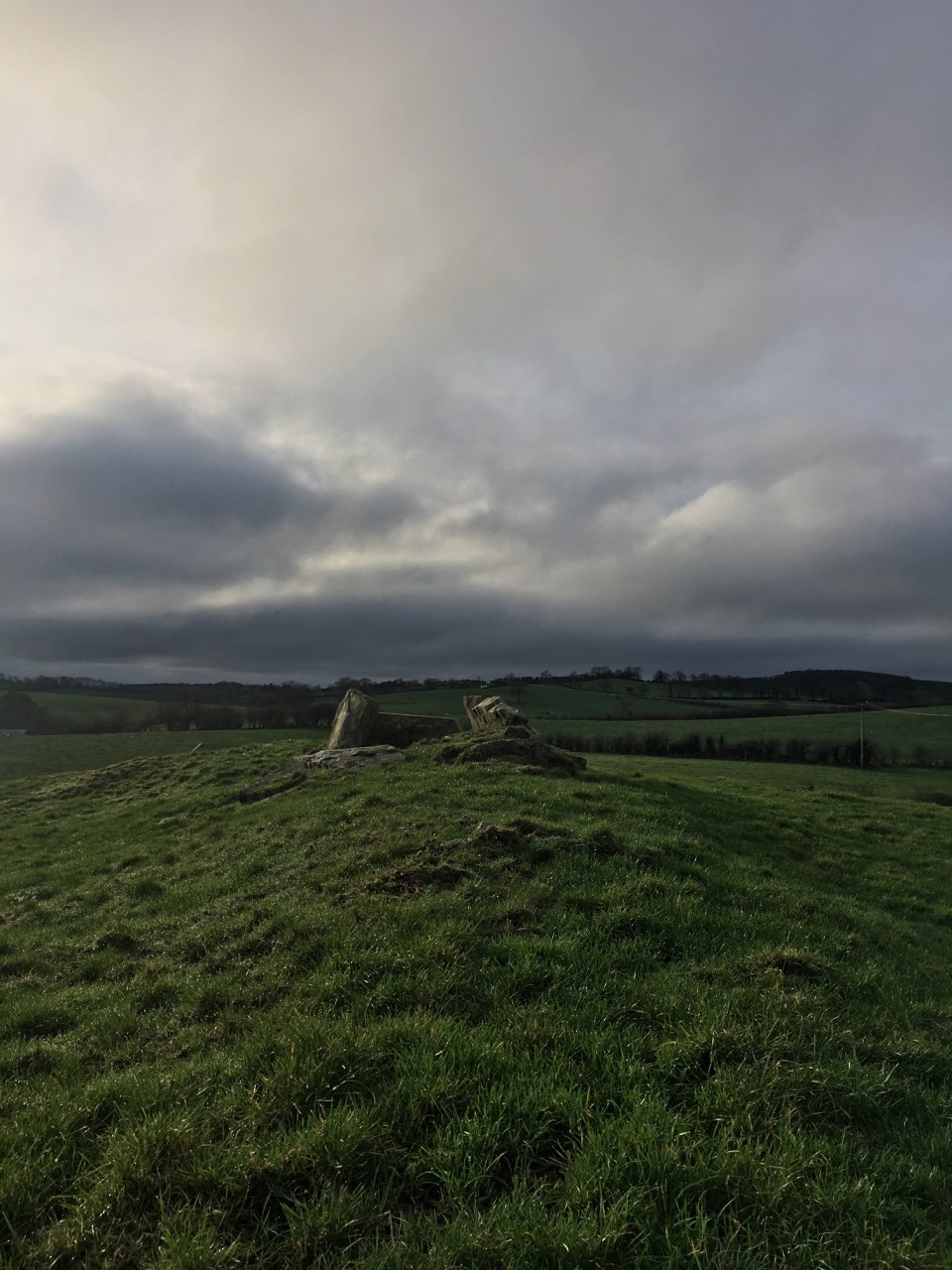
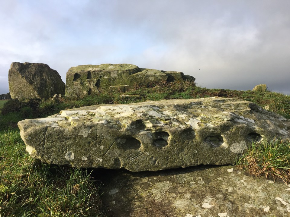
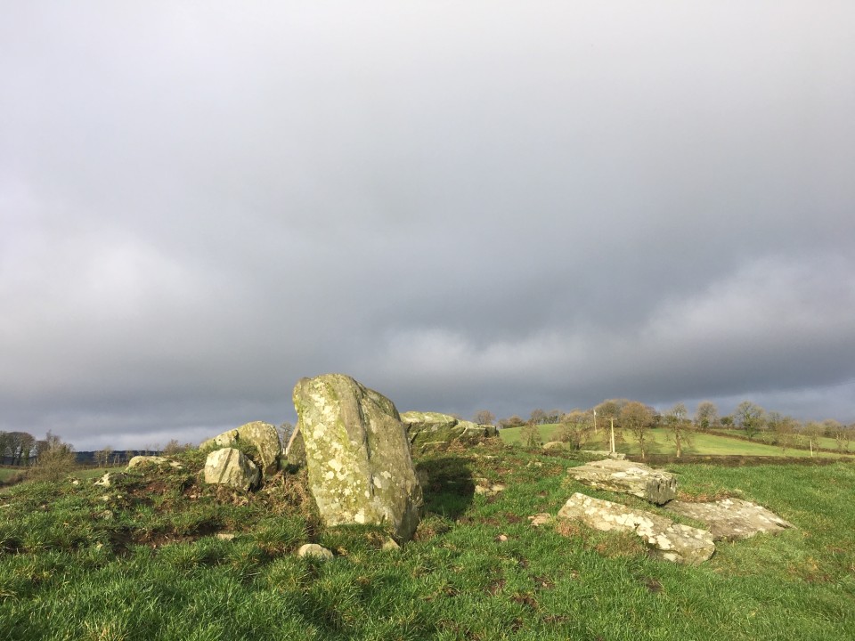
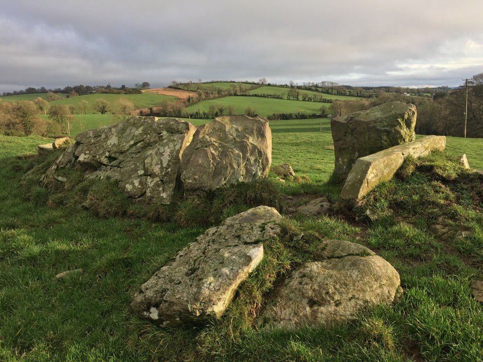
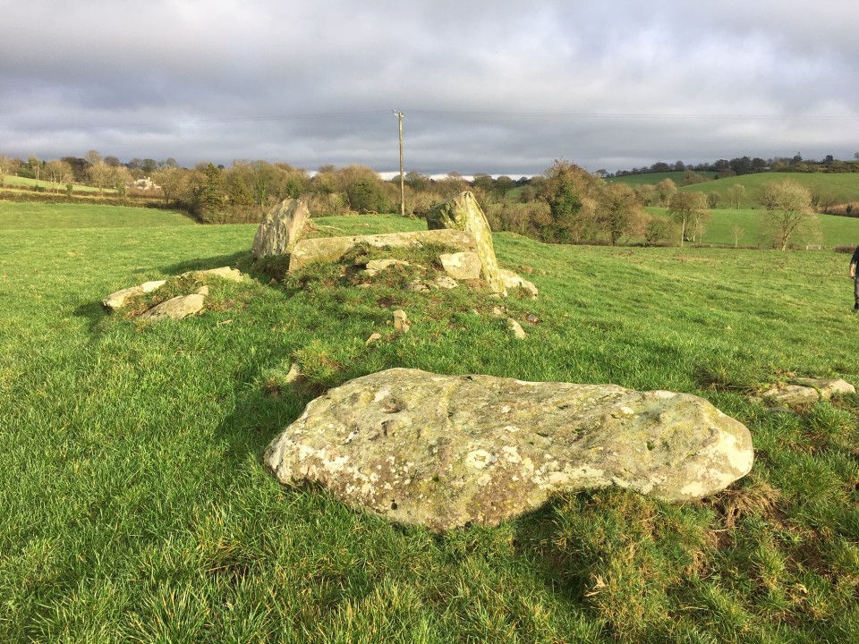
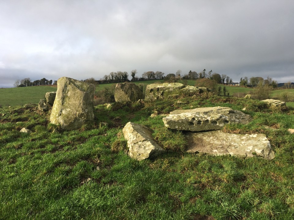
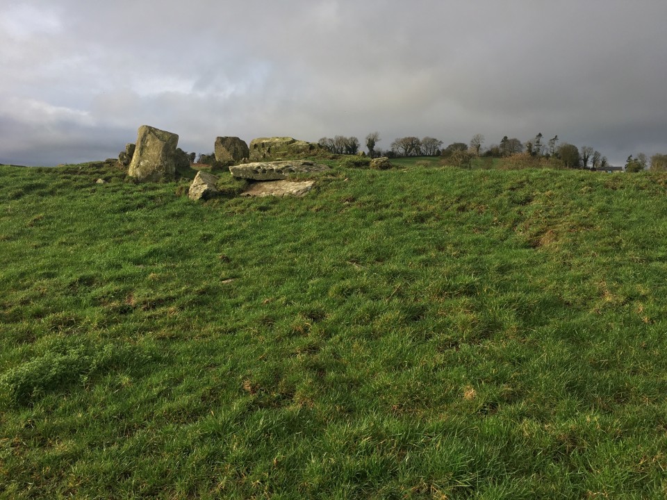
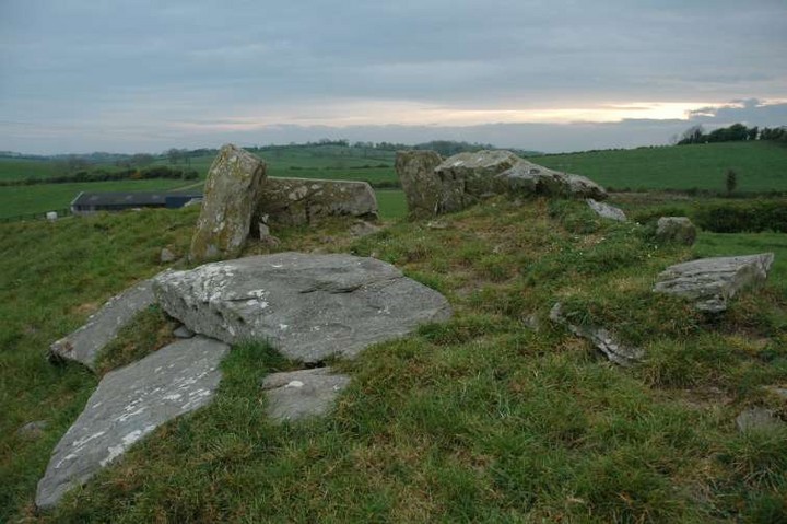
Edengora
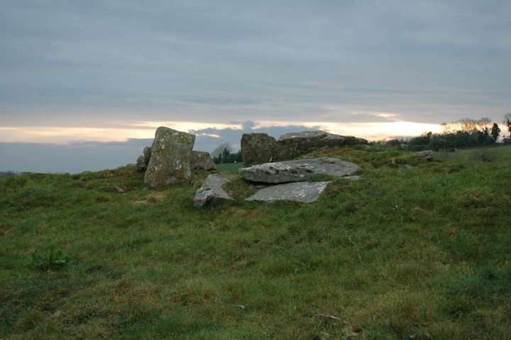
Wedge Tomb
Edengora (Wedge Tomb) on The Modern Antiquarian, the UK & Ireland's most popular megalithic community website. 10 images, plus information on many more ancient sites nearby and across the UK & Ireland.
Image © ryaner
Nearest Town:
Kingscourt (6km NE)
OS Ref (IE):
N744919 /
Sheet: 35
Latitude:
53° 52' 16.17" N
Longitude:
6° 52' 7.65" W
Added by
ryaner
Images (10)
0 discussions
Start a topic
Show |
Hide
Web searches for Edengora
Flickr
Google
Google Images
The Megalithic Portal
Bing
Stone Pages
Wikipedia
Show map
(inline Google Map)
- Sites within 20 km -
-
Ervey (2.85km ENE) (8 posts)
Carnhill (2.85km ENE) (0 posts)
Cornaville North (4.32km WSW) (8 posts)
Corraweelis (4.35km WNW) (3 posts)
Eden (4.51km E) (4 posts)
Loughanleagh (4.69km NW) (3 posts)
Moyer (4.69km NW) (3 posts)
Lough an Leighis (Lake of the Cures) (5km NW) (1 post)
Mohercroom (5.25km NW) (0 posts)
Drumsallagh (6.45km NNE) (4 posts)
Killeter Hill (7.79km SW) (3 posts)
Nobberbeg (8.21km E) (6 posts)
Rahans Lough (10.95km ENE) (0 posts)
Staholmog (11.61km SE) (1 post)
Raffony (11.65km WSW) (0 posts)
Lough Fea (12.71km NE) (0 posts)
Drumeague (13.31km WNW) (3 posts)
Tullyallen Lough (13.71km ENE) (0 posts)
Mullaghey (14.19km SSE) (5 posts)
Clonasillagh (15.25km SW) (6 posts)
Virginia Park Estate (15.3km WSW) (3 posts)
Drummond Otra (15.59km NE) (0 posts)
Clonasillagh Cairn (15.6km SW) (5 posts)
Lisanisk (15.6km NE) (0 posts)
Clonasillagh Decorated Stone (15.67km SW) (5 posts)
Lisnadarragh (15.9km NNW) (3 posts)
Monalty Lough (16.16km NE) (0 posts)
Corraneary Lough (16.47km WNW) (0 posts)
King's Mountain (16.6km SW) (11 posts)
Corgreagh (16.98km NW) (5 posts)
Knock (17.21km ESE) (2 posts)
Balnagon Upper stone pair (18.11km SSW) (4 posts)
The Well of The White Cow (18.13km ENE) (3 posts)
Rathkenny (18.82km ESE) (8 posts)
Arch Hall (19.35km SE) (6 posts)
Patrickstown (19.62km SW) (6 posts)
Newcastle (19.73km WSW) (2 posts)
Newcastle (19.73km WSW) (1 post)
Patrickstown Standing Stone (19.74km SW) (4 posts)
Teltown (19.89km SE) (1 post)
- Add -
-
Add news
Add an image
Add fieldnotes
Add folklore
Add miscellaneous
Add a link
-
Add a site
Add a nearby facility
Add an alternative name/spelling
Images
(click to view fullsize)
Add an image
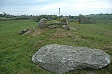 Image © ryaner