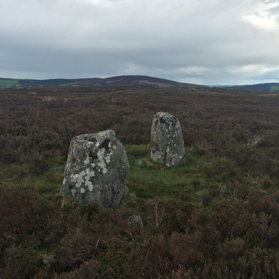
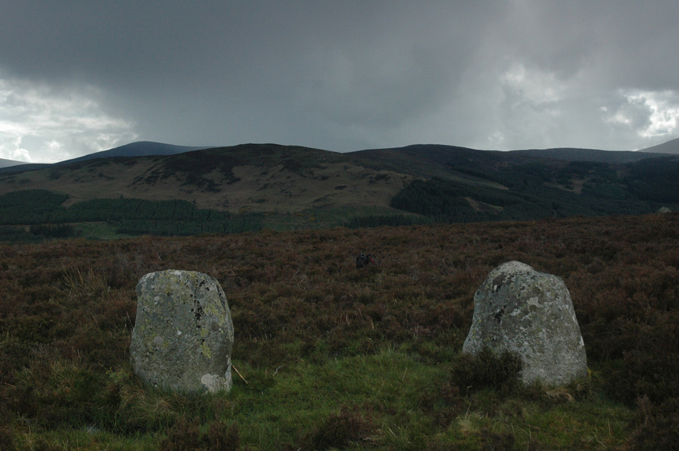
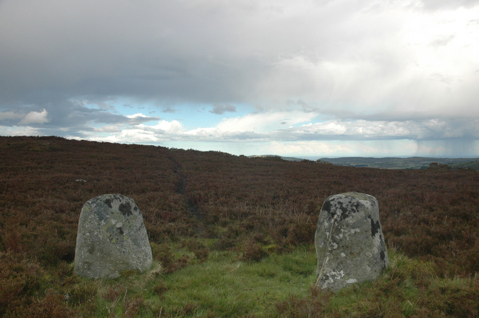
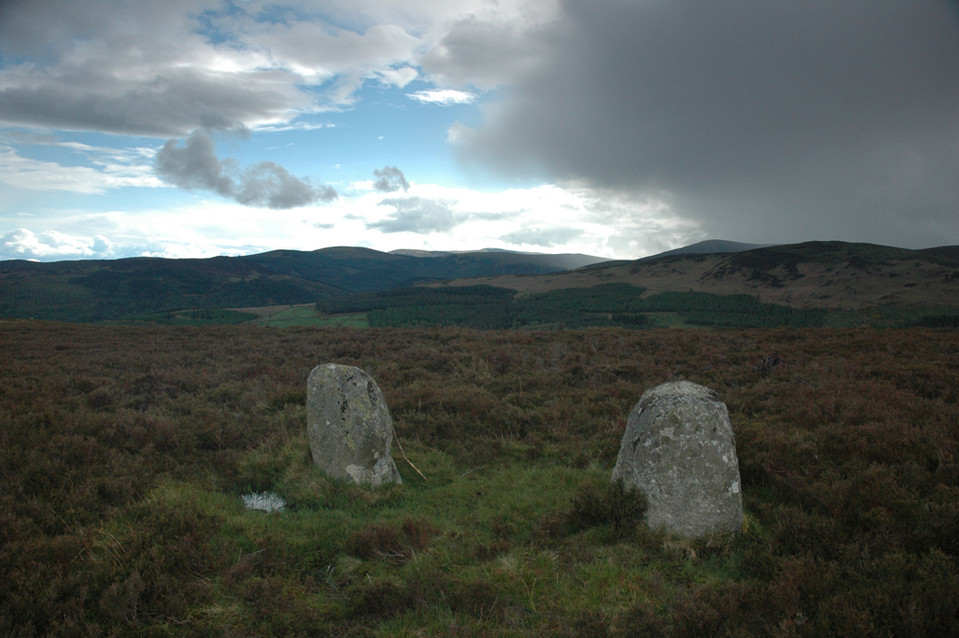
The Gossan Stones
Stone Row / Alignment
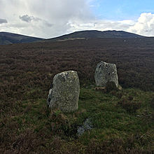 Image © ryaner Image © ryaner
|
Also known as:
| Nearest Town: | | Laragh (2km S) | | OS Ref (IE): | | T145988 / Sheet: 56 | | Latitude: | | 53° 1' 39.61" N | | Longitude: | | 6° 17' 35.56" W |
|
|
Web searches for Gossan Stones
|
|
It is thought that this stone pair is aligned to the Equinox Rising Sun.
|
 Posted by bawn79
17th September 2013ce
|
|