The Modern Antiquarian
Log in
|
Register
Home
Latest Posts
Forums
Maps
Help
Browse Sites
News
Blog
Contributors
The Books
Select
-
Belgium
Denmark
Eire
France
Germany
Greece
Italy
The Netherlands
Norway
Portugal
Republic of Malta
Spain
Sweden
Switzerland
United Kingdom
Wales
Pembrokeshire
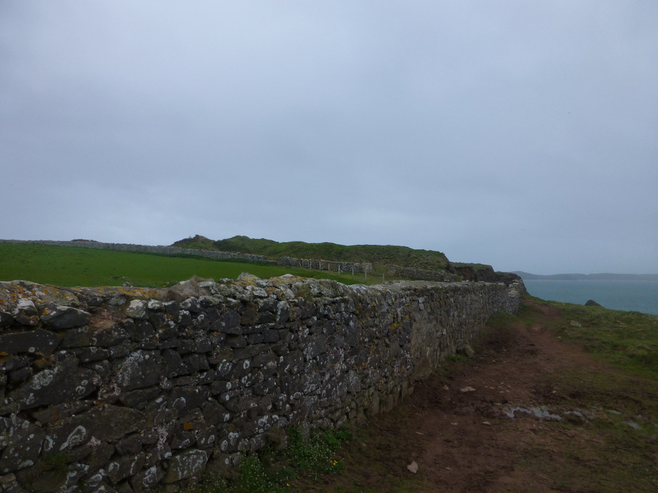
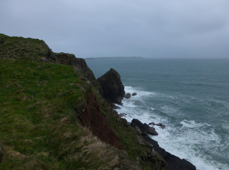
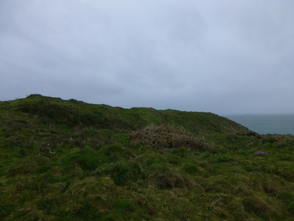
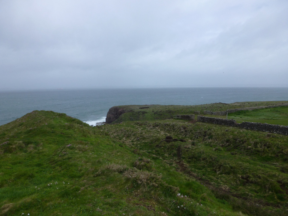
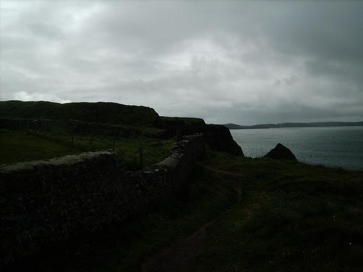
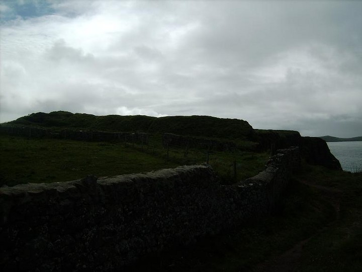
Tower Point
Cliff Fort
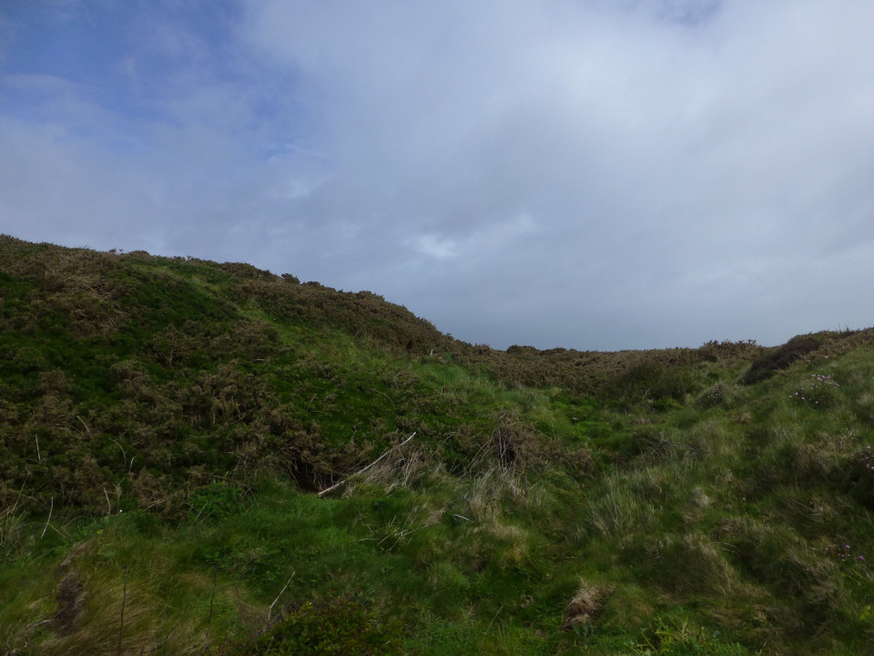
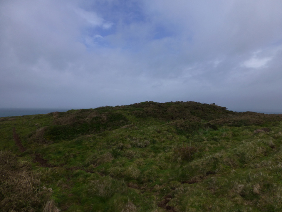
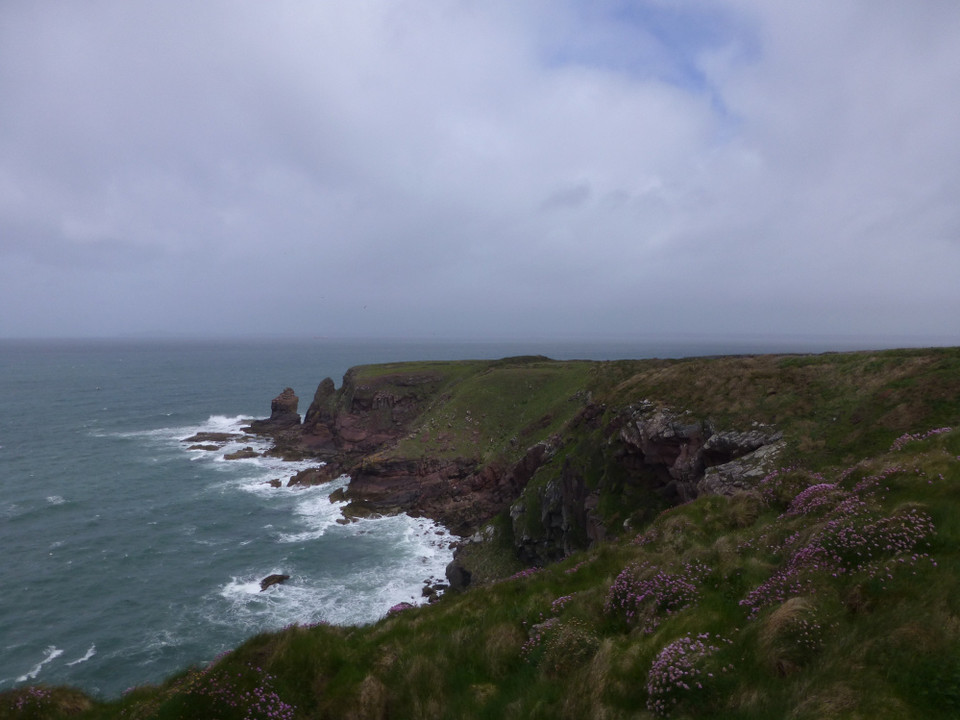
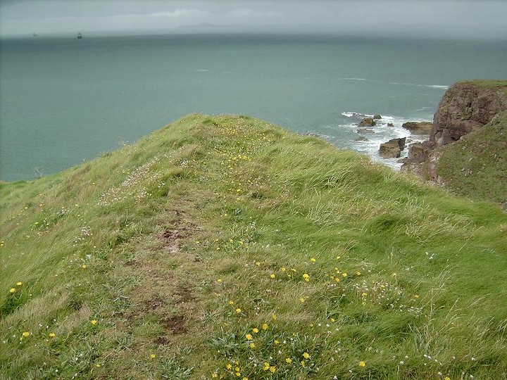
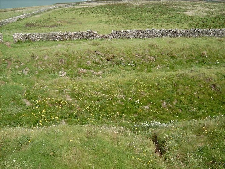
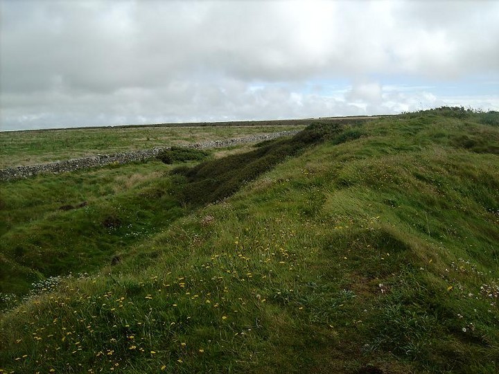
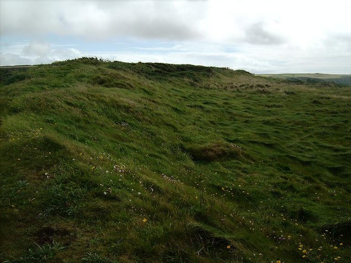
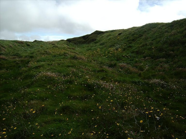
Tower Point (Cliff Fort) on The Modern Antiquarian, the UK & Ireland's most popular megalithic community website. 15 images, plus information on many more ancient sites nearby and across the UK & Ireland.
Image © p0ds
Nearest Town:
Milford Haven (13km E)
OS Ref (GB):
SM789108 /
Sheet: 157
Latitude:
51° 45' 6.02" N
Longitude:
5° 12' 13.2" W
Added by
Rhiannon
Images (15)
0 discussions
Start a topic
Show |
Hide
Web searches for Tower Point
Flickr
Google
Google Images
The Megalithic Portal
Bing
Stone Pages
Streetmap.co.uk
Wikipedia
Show map
(inline Google Map)
- Sites within 20 km -
-
The Nab Head (0.34km NNE) (2 posts)
Castle Head (0.85km ENE) (7 posts)
Mill Haven Rath (3.23km ENE) (6 posts)
Marloes Sound Rath (3.51km SW) (10 posts)
Deer Park (3.66km WSW) (12 posts)
Howney Stone Rath (3.66km NE) (7 posts)
Gateholm (4.04km SSW) (5 posts)
The Long Stone (5.03km ESE) (5 posts)
Great Castle Head (Dale) (5.22km SSE) (11 posts)
Skomer (5.59km WSW) (9 posts)
Harold Stone (Skomer) (5.59km WSW) (5 posts)
Longstone Field (6.4km E) (3 posts)
Dale Point (6.51km ESE) (8 posts)
Little Castle Point (6.97km SSE) (7 posts)
Great Castle Head (St Ishmaels) (7.57km ESE) (10 posts)
Little Castle Head (St Ishmaels) (7.82km E) (10 posts)
Upper Lodge Stones (7.98km ENE) (10 posts)
Harold Stone (The Havens) (8.16km ENE) (12 posts)
Black Point Rath (8.34km NE) (5 posts)
South Hook Rath (8.9km E) (7 posts)
Castles Bay (10.61km ESE) (10 posts)
The Long Stone (10.9km E) (6 posts)
Hangstone Davey (11.31km ENE) (2 posts)
West Pickard Camp (12.2km ESE) (8 posts)
Dinas Fach (12.62km N) (8 posts)
Dinas Fawr and Porth y Bwch (12.71km N) (8 posts)
Newgale submerged forest (12.74km NNE) (4 posts)
Gribin (13.15km N) (8 posts)
St Elvis (13.28km N) (27 posts)
Caerfai Camp (13.33km NNW) (15 posts)
Porth-y-Rhaw (13.38km NNW) (9 posts)
Solva (13.68km N) (3 posts)
West Popton Camp (13.71km E) (5 posts)
Devil's Quoit (13.89km ESE) (17 posts)
St Nons (14.25km NW) (16 posts)
Lower Tregennis (14.61km NW) (1 post)
Trecenny Stone (15.05km NNW) (11 posts)
Clegyr Boia (15.25km NW) (7 posts)
Lewiston Hill (15.26km E) (2 posts)
Castell Heinif (15.32km NW) (8 posts)
Carnllundain (15.53km WNW) (3 posts)
Tremaenhir (16.03km N) (2 posts)
Llecha Cromlech (16.42km N) (2 posts)
Carnysgybor (16.44km WNW) (1 post)
Maen Dewi (16.73km NNW) (5 posts)
Wallaston (17.18km ESE) (1 post)
Plumstone Mountain (17.77km NE) (2 posts)
White House, Llanhowell Cromlech (17.84km N) (8 posts)
Carn Llidi Tombs (17.9km NW) (38 posts)
Corston Beacon (18.01km ESE) (1 post)
Carn Llidi Bychan (18.03km NW) (1 post)
St David's Head Camp (18.33km NW) (31 posts)
The Hanging Stone (18.41km E) (32 posts)
Coetan Arthur (18.41km NW) (48 posts)
Treffynnon (18.96km NNE) (7 posts)
Grassholm (19.08km WSW) (3 posts)
Dry Burrows (19.33km E) (12 posts)
Castell Coch (St David's) (19.57km NNW) (7 posts)
Caerau (St David's) (19.94km NNW) (10 posts)
- Facilities within 20 km -
-
Rhosson Field Camping (Camping Site: 7.4 km WNW)
Caerfai Bay Caravan & ... (Camping Site: 14.3 km NNW)
Caerfai Farm Camp Site (Camping Site: 14.3 km NNW)
The Farmer's Arms (Pub: 14.9 km NNW)
St Davids Tourist Info... (Tourist Information: 14.9 km NNE)
The Cartref (Restaurant: 14.9 km NNW)
Haverfordwest Tourist ... (Tourist Information: 17.3 km ENE)
- Add -
-
Add news
Add an image
Add fieldnotes
Add folklore
Add miscellaneous
Add a link
-
Add a site
Add a nearby facility
Add an alternative name/spelling
Images
(click to view fullsize)
Add an image
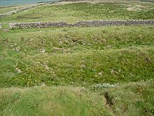 Image © p0ds