The Mill Of Carden is just slightly to the north of the Oyne fork on the A96. I asked permission to park at the pig farm of the same name which was granted by some of the cheery and informative workmen. Anyone with a weak sense of smell will have it fully restored by this place. As for the weather, it was misty, it poured with rain, everywhere else seems to be sunny. In Canada it's non stop heat I'm told and it seems that Gladman has taken the weather with him on his travels. But I wouldn't have any other way as it adds to fun, a good drenching. Hmmm......
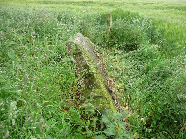
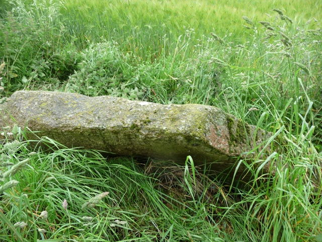
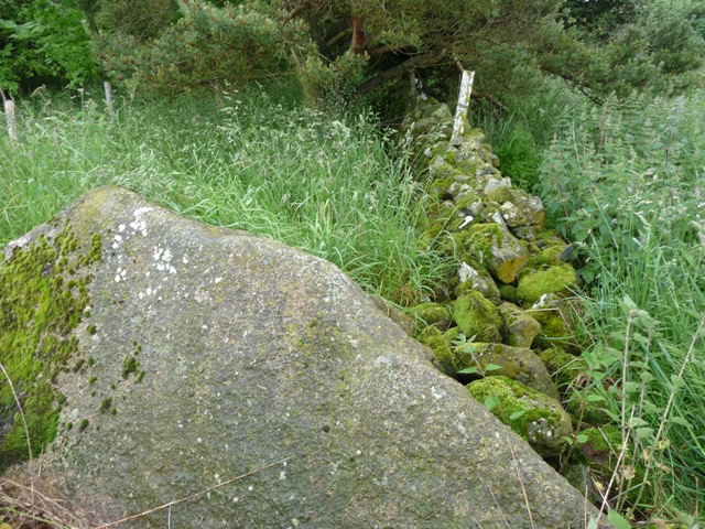
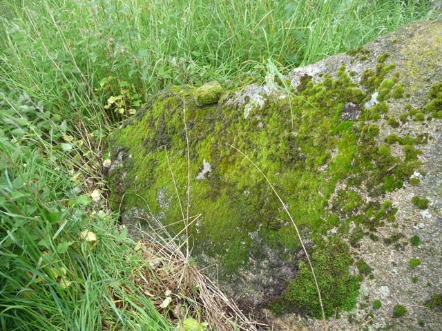
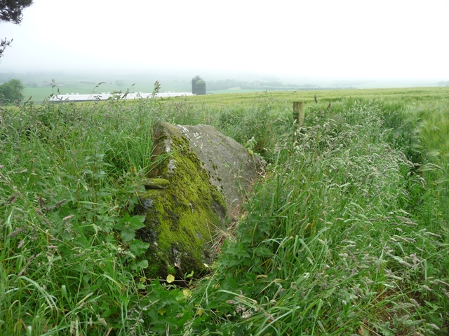
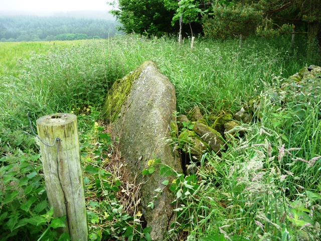
The stone can be found leaning against an old dry stane dyke on the edge of a wood about 100 meters north of the pig farm having been removed from it's original position. The stone reminds me of the flankers at Stonehead tall and slim, beautifully shaped. Maybe it was once part of a stone circle but no evidence suggests that it was. One thing for sure is the view, my old friend Bennachie stands bang in front to the south and on a sunny day (a rare thing) would be clearly seen. Today it was shrouded in fog giving an otherworldly feel to the place. Nearby the the single standing stone at Max Hill, also rumoured to be once part of circle, makes it's presence felt.
But what a shape to a stone, it would be wonderful to see it put back in it's original place.
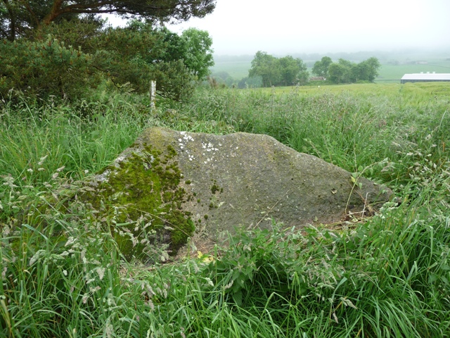
A fallen and moved 9 feet long red granite pillar remains of this circle. RCAHMS has a nice aerial photo from 2004 showing the site, and a circular feature remains.

 Posted by Chris