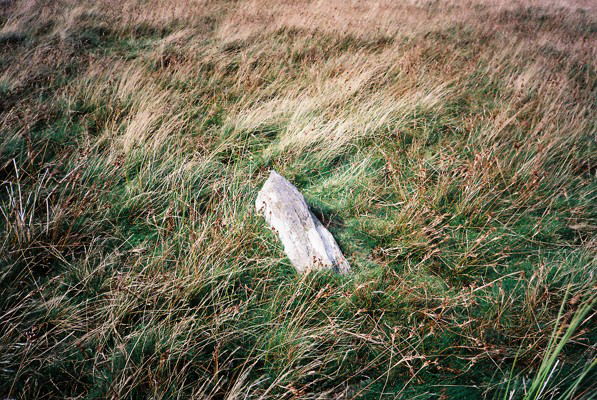
These 5 stones all lie on the ridge which leads from Cwm Pennant up to Pen-y-Garnedd at SJ 0410 3092 where there is a round barrow (cairn). All are listed by the Clwyd Powys Archaeological Trust as being from the bronze age. It seems likely that they marked the route up to Pen-y-Garnedd which would also be a good route to get over to the stone circle and row at Rhos y Beddau in the Disgynfa valley.
Some of the stones are pretty small but they are all quite slim and have been set upright in the earth. I can't see any logic to the directions in which they have been set. The ground is grassy with almost no other exposed stones visible.
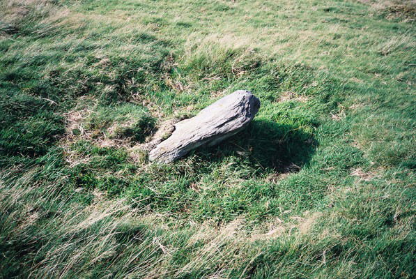
Yr Aran Standing Stone I - leaning over in a hollow on sloping ground. GPS reading SJ 0355 3314. 45cm wide, 15cm deep, at least 60cm long but leaning over so that the tip is only 35cm above the ground. The long axis runs 120-300 degrees
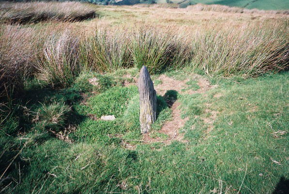
A tiny stone on the east side of the ridge, well clear of the bracken. GPS reading SJ 0372 3278. 40cm wide, 12 cm deep, at least 40cm tall of which 20cm is visible. The long axis runs 120-300 degrees.
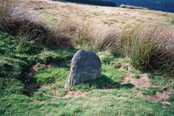
The Clwyd Powys Archaeological Trust lists this stone as bronze age with map reference SJ 0358 3194. Two other standing stones nearby which they designate as stones III and IV are listed as post-medieval with map references SJ 0350 3202 and SJ 0335 3200 respectively.

 Posted by Idwal