The Modern Antiquarian
Log in
|
Register
Home
Latest Posts
Forums
Maps
Help
Browse Sites
News
Blog
Contributors
The Books
Select
-
Belgium
Denmark
Eire
France
Germany
Greece
Italy
The Netherlands
Norway
Portugal
Republic of Malta
Spain
Sweden
Switzerland
United Kingdom
Scotland
Dumfries and Galloway
Lamford Hill
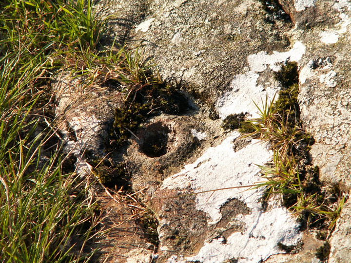
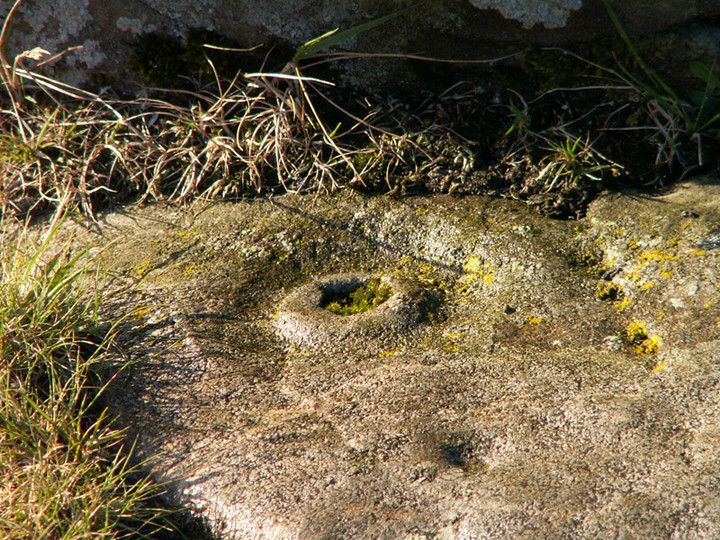
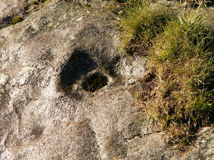
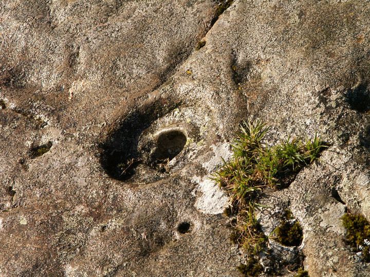
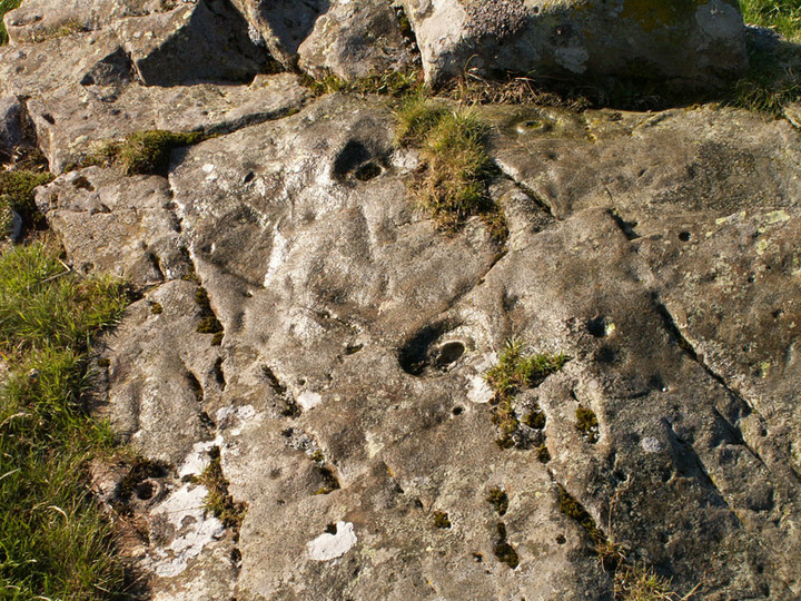
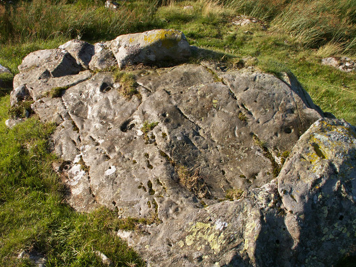
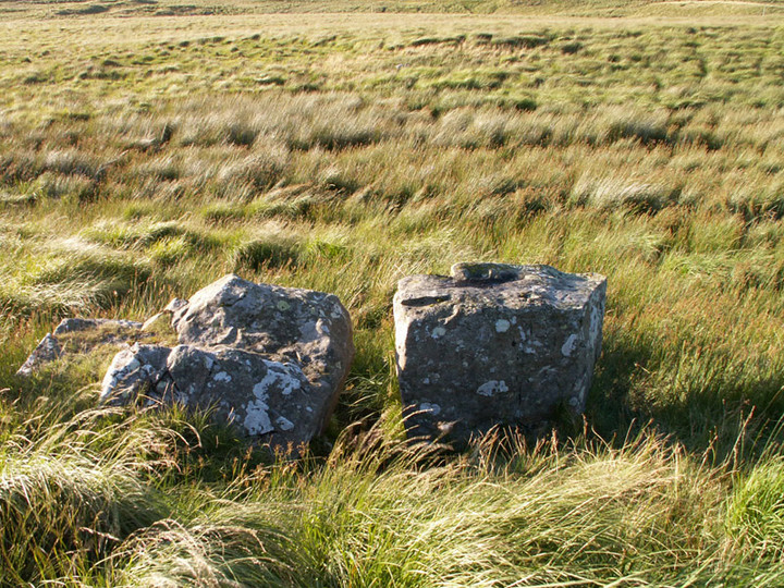
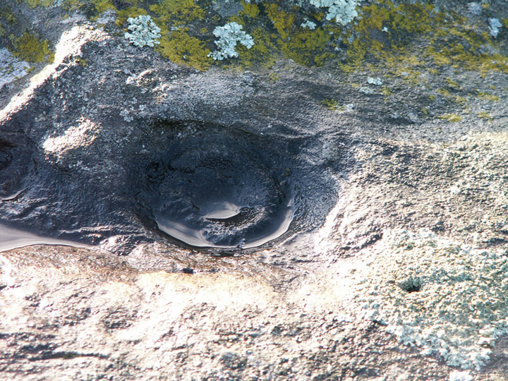
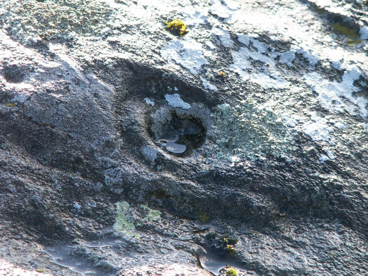
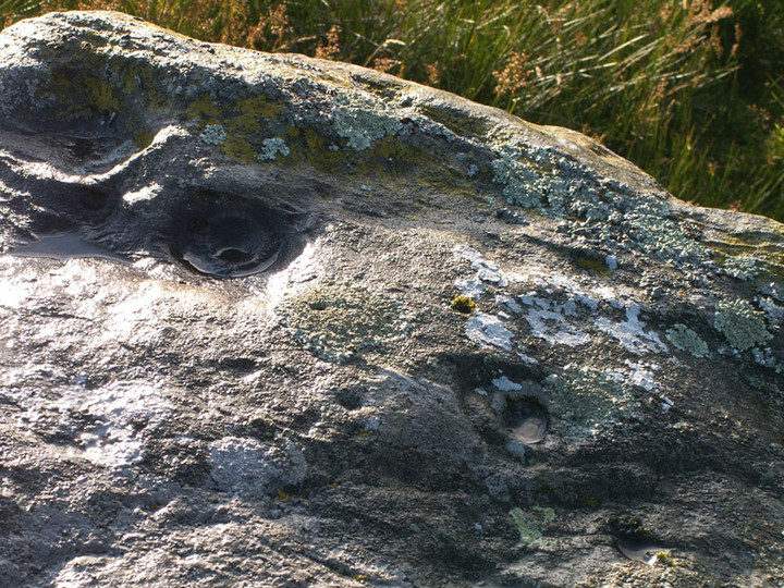
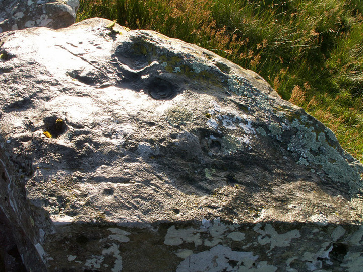
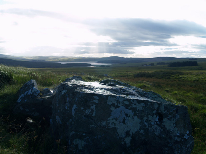
Cup and Ring Marks / Rock Art
Lamford Hill (Cup and Ring Marks / Rock Art) on The Modern Antiquarian, the UK & Ireland's most popular megalithic community website. 16 images, plus information on many more ancient sites nearby and across the UK & Ireland.
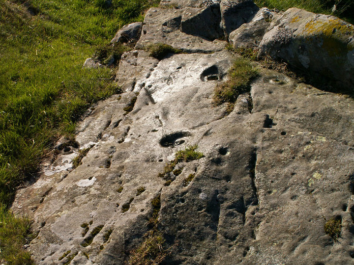
Image © pebblewolf
Nearest Town:
Cumnock (21km N)
OS Ref (GB):
NX531988 /
Sheet: 77
Latitude:
55° 15' 40.6" N
Longitude:
4° 18' 42.95" W
Added by
rockartwolf
Images (16)
0 discussions
Start a topic
Show |
Hide
Web searches for Lamford Hill
Flickr
Google
Google Images
MAGIC
The Megalithic Portal
Bing
Stone Pages
Streetmap.co.uk
Wikipedia
Show map
(inline Google Map)
- Sites within 20 km -
-
Lamford Burn (0.43km WNW) (5 posts)
Brownhill Burn (2.97km NE) (9 posts)
King's Cairn (3.24km NE) (8 posts)
Holm of Daltallochan (5.13km SE) (4 posts)
Holm of Daltallochan (5.13km SE) (10 posts)
Cairn Avel (6.97km SE) (5 posts)
Bardennoch (8.45km SE) (7 posts)
Braidenoch Cross Slabs (8.91km SE) (7 posts)
Carlins Cairn (10.98km SSW) (1 post)
Smittons Bridge (12.37km E) (9 posts)
Moss Knowes (12.37km WSW) (12 posts)
Round Craigs (12.51km E) (10 posts)
Stroanfreggan Craig (12.51km E) (15 posts)
Cairnwhapple Stone (12.69km WSW) (6 posts)
Stroanfreggan (13.13km E) (26 posts)
Stellhead N (14.18km E) (9 posts)
Stellhead S (14.2km E) (12 posts)
Mackilston N (14.86km ESE) (6 posts)
Mackilston S (14.89km ESE) (8 posts)
Devil's Bowling Green (16.75km SSW) (3 posts)
The Grey Man (17.18km SW) (7 posts)
Waterside Hill (18.31km SE) (1 post)
Bencallen Hill (19.82km WSW) (14 posts)
Milnmark Hill (19.87km ESE) (9 posts)
Craigs of Kyle (19.93km WNW) (1 post)
- Add -
-
Add news
Add an image
Add fieldnotes
Add folklore
Add miscellaneous
Add a link
-
Add a site
Add a nearby facility
Add an alternative name/spelling
Images
(click to view fullsize)
Add an image
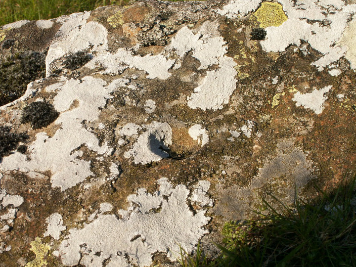
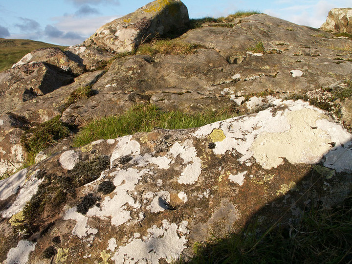
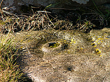 Image © pebblewolf
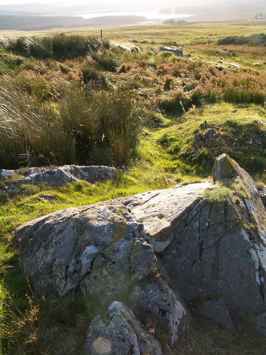