The Modern Antiquarian
Log in
|
Register
Home
Latest Posts
Forums
Maps
Help
Browse Sites
News
Blog
Contributors
The Books
Select
-
Belgium
Denmark
Eire
France
Germany
Greece
Italy
The Netherlands
Norway
Portugal
Republic of Malta
Spain
Sweden
Switzerland
United Kingdom
Scotland
Dumfries and Galloway
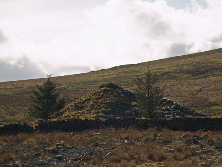
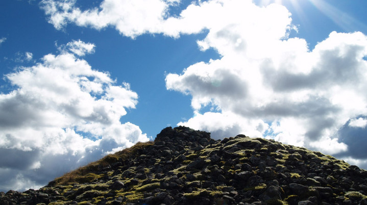
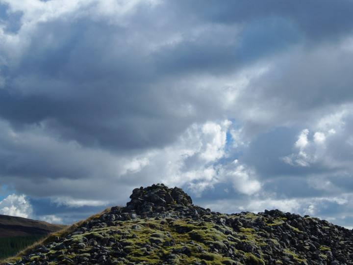
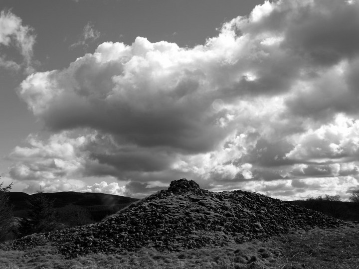
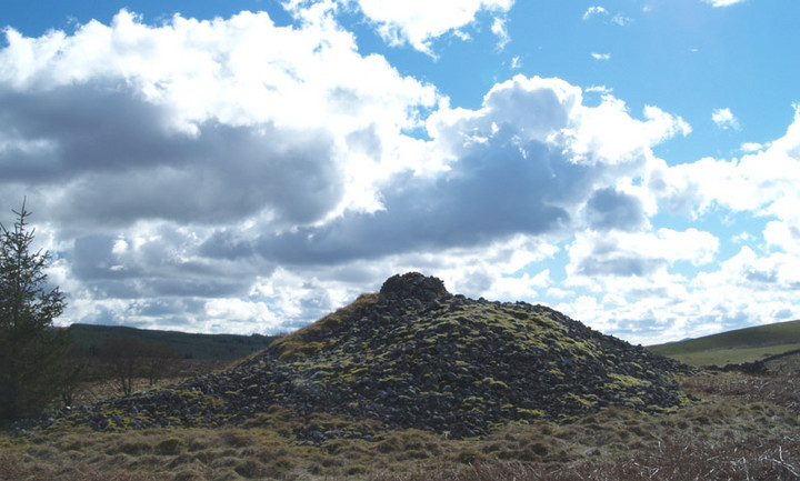
Corriedoo White Cairn
Round Cairn
Corriedoo White Cairn (Round Cairn) on The Modern Antiquarian, the UK & Ireland's most popular megalithic community website. 6 images, plus information on many more ancient sites nearby and across the UK & Ireland.
Image © pebblewolf
Nearest Town:
New Galloway (8km SW)
OS Ref (GB):
NX681833 /
Sheet: 77
Latitude:
55° 7' 34.73" N
Longitude:
4° 4' 7.72" W
Added by
rockartwolf
Images (6)
0 discussions
Start a topic
Show |
Hide
Web searches for Corriedoo White Cairn
Flickr
Google
Google Images
MAGIC
The Megalithic Portal
Bing
Stone Pages
Streetmap.co.uk
Wikipedia
Show map
(inline Google Map)
- Sites within 20 km -
-
Milnmark Hill (2.03km W) (9 posts)
Lochrennie Hole Stone (5.76km NE) (5 posts)
Dalarran Holm (5.85km SW) (5 posts)
Mackilston S (7.04km W) (8 posts)
Mackilston N (7.06km W) (6 posts)
Waterside Hill (7.47km WSW) (1 post)
Stroanfreggan (9.06km NW) (26 posts)
Stellhead S (9.76km NW) (12 posts)
Smittons Bridge (9.77km WNW) (9 posts)
Stroanfreggan Craig (9.79km NW) (15 posts)
Stellhead N (9.87km NW) (9 posts)
The Cow Cloot Stone (9.99km S) (1 post)
Round Craigs (10.85km NW) (10 posts)
Braidenoch Cross Slabs (13.29km W) (7 posts)
Bardennoch (13.71km W) (7 posts)
White Cairn, West Skelston (14.37km ENE) (5 posts)
Bruce's Stone (Clatteringshaws) (14.41km WSW) (5 posts)
Clatteringshaws (14.54km WSW) (2 posts)
Cairn Avel (15.17km W) (5 posts)
Glenesslin Schoolhouse (15.36km ENE) (5 posts)
Holm of Daltallochan (16.69km WNW) (10 posts)
Holm of Daltallochan (16.69km WNW) (4 posts)
Tynron Doon (17.42km NE) (13 posts)
White Cairn, Clatteringshaws (17.5km WSW) (4 posts)
Fleuchlarg (17.69km ENE) (15 posts)
Capenoch Loch (18.19km ENE) (13 posts)
Grennan Hill (18.5km NE) (5 posts)
Carlins Cairn (19.03km W) (1 post)
Milton Loch NW (19.42km E) (5 posts)
Green Island, Milton Loch (19.53km E) (12 posts)
Milton Loch (19.66km E) (2 posts)
Milton Loch Central (19.69km E) (6 posts)
The Doons (19.79km E) (2 posts)
- Add -
-
Add news
Add an image
Add fieldnotes
Add folklore
Add miscellaneous
Add a link
-
Add a site
Add a nearby facility
Add an alternative name/spelling
Images
(click to view fullsize)
Add an image
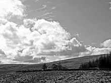 Image © pebblewolf