23/7/04- the mutilated remains on the NW- some of the remaining ramparts just before the tree line.
23/7/04- the mutilated remains on the NW- some of the remaining ramparts just before the tree line.
Friday 23/7/04
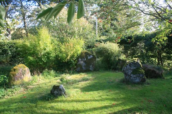
A very mutilated site caused by stone robbing, cultivation, planting and felling. There are many pits and tussocks in the interior, but nothing to interpret. Sections of ramparts still exist, but only to a height of less than a metre, the best of which (an it ain’t that great) is found on the NW side before the forestry plantation begins again.
Description for the RCAHMS CANMORE database;
The fragmentary remains of a fort occupy the summit of Cardie Hill which is thickly covered with trees forming part of the Glentress Forest. Stone-robbing and cultivation, followed by tree-planting and felling, have caused severe damage, and at the time of visit the site was masked by a thick covering of tussocky grass and brushwood. The fort appears to have had at least two, and possibly three, lines of defence, which enclose a circular area measuring about 105’ in diameter. The considerable quantity of stones, both large and small, that marks their course, indicates that they were probably walls. The debris stands to a maximum height 3’ and is spread to a thickness of up to 20’. It is impossible to tell which, if any, of the numerous gaps through the defences are original. The interior contains no recognisable structures.