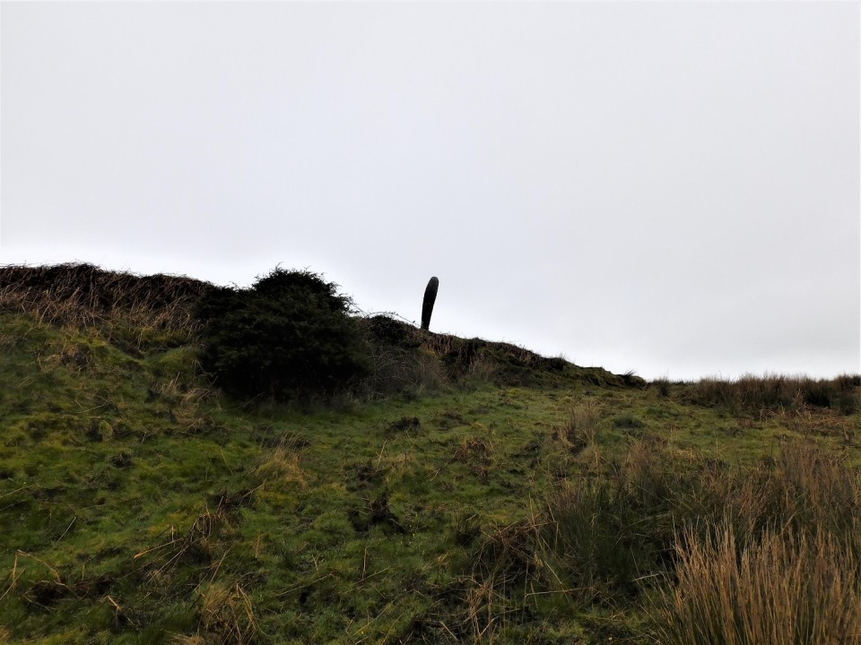
Parking at Tayvulin, the paths today would be slightly different to the well trod paths of Kilmartin, I headed north following reasonably green pastures, going over a couple of gates before the standing stone of Upper Fernoch appeared.
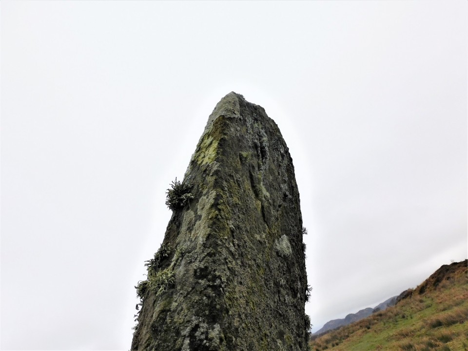
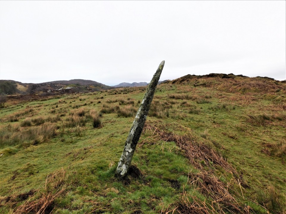
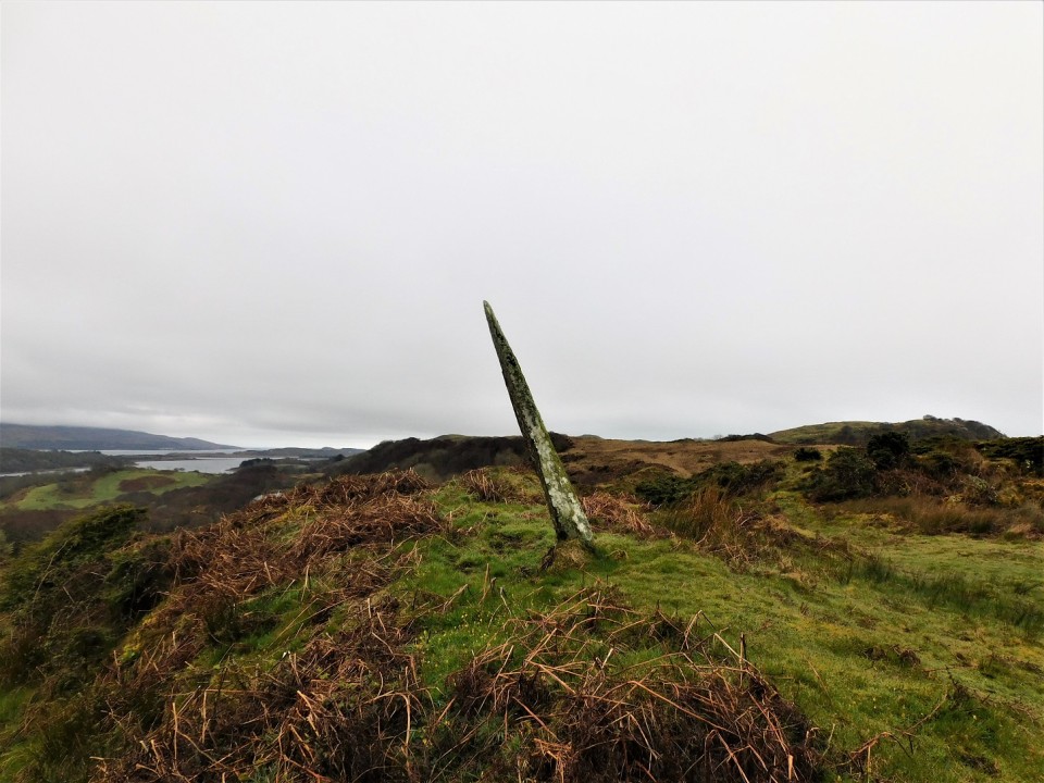
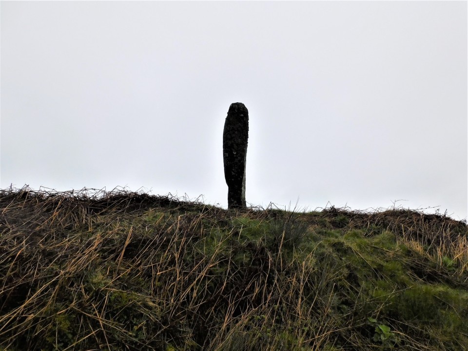
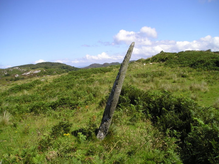
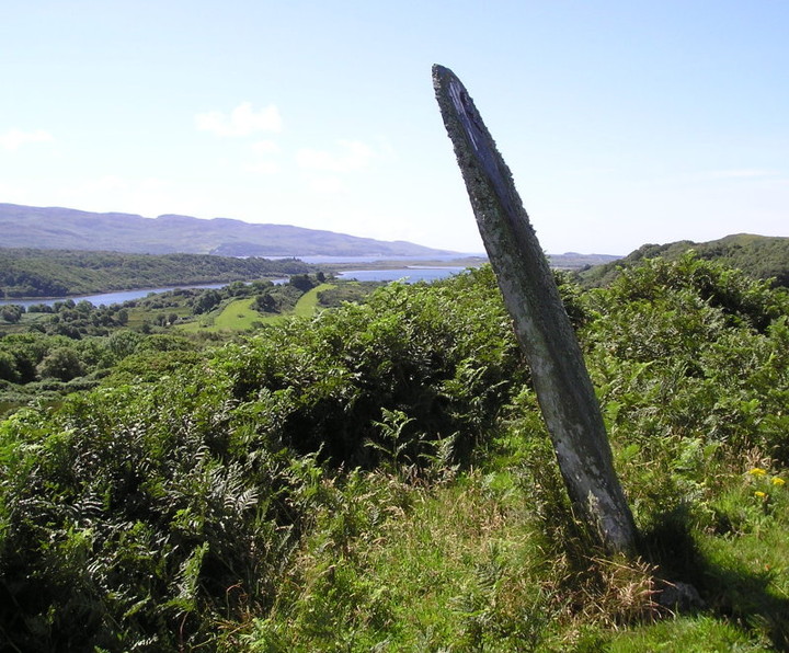
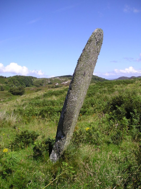
A lonely but beautiful place, back in the day several farms or 'ferm touns' would have been occupied but now many, like many others, are in a ruinous condition. The stone must have seen it all before and must miss the people at the nearby farm as it leans south east. If standing upright it would stand at 2.5m tall. Hopefully, like the stone at Largie, it will one day be restored to its original position.
A worthwhile stone to visit and a fair bit of an 'extreme stonefeeling' experience to get there. Barnashaig stone can be visited at the same time as they are only a couple of hundred yards apart. We parked on a small grass verge - be careful it's tight - almost opposite the entrance to the track that starts from the road below. It's easy enough getting up the track to the old sheds of Upper Frenoch if a bit muddy and slightly boggy in parts. From the buildings it is a steep uphill climb beside the fence line. There is a bit of a path but obviously no one had been for ages as big ferns obscured everything but keep near the fence and be careful with your footing and you should be fine. Keep following the fence along the top until it stops at a field gate. Turn left when through the gate and strike up to the top of the nearby ridge. To get to Upper Fernoch, descend the few yards to the lower ground in front of you, turn left (south) and skirt round the next ridge for a few steps and the stone should become visible a hundred yards away. To get to Barnashaig from the first ridge, go right (north) along the top for 20 yards or so to its end and the stone should become visible 50 yards-ish away on the lower ground.
Very speculative , but the axis of the flattest face of the stone ,taken from ground level , gives a fairly accurate azimuth and subsequent declination for the major standstill .


 Posted by new abbey
 Posted by tiompan