The Modern Antiquarian
Log in
|
Register
Home
Latest Posts
Forums
Maps
Help
Browse Sites
News
Blog
Contributors
The Books
Select
-
Belgium
Denmark
Eire
France
Germany
Greece
Italy
The Netherlands
Norway
Portugal
Republic of Malta
Spain
Sweden
Switzerland
United Kingdom
County Clare
The Burren
Parknabinnia, Commons North & Leana
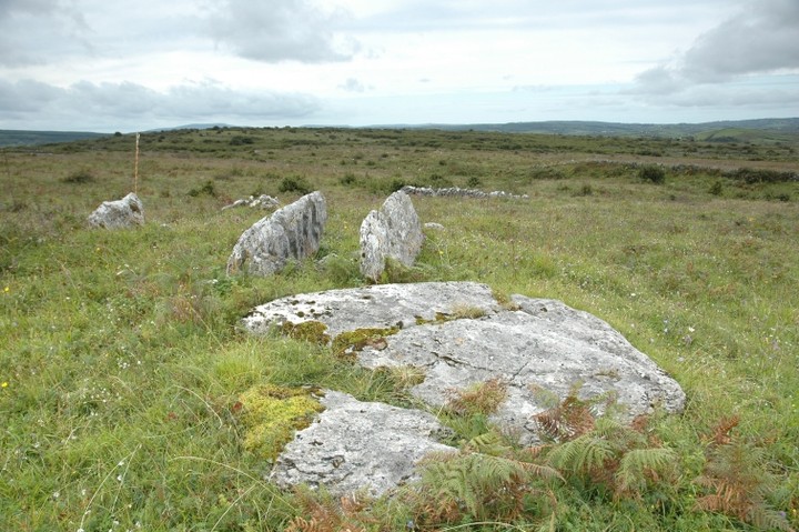
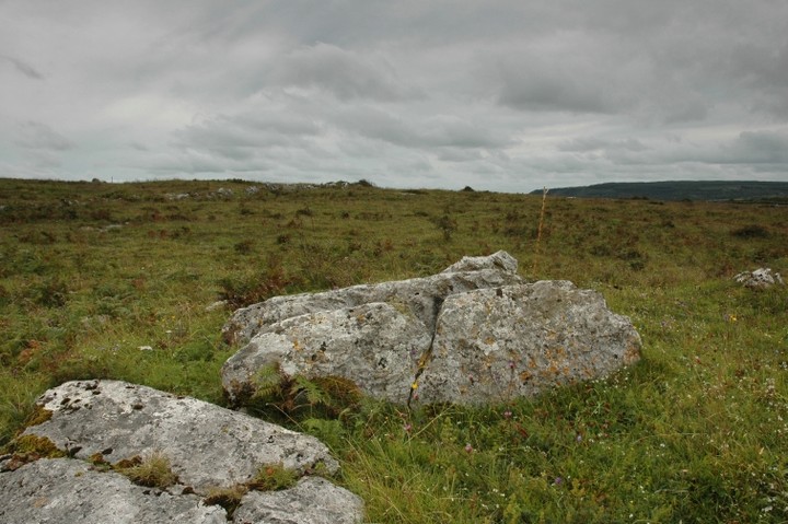
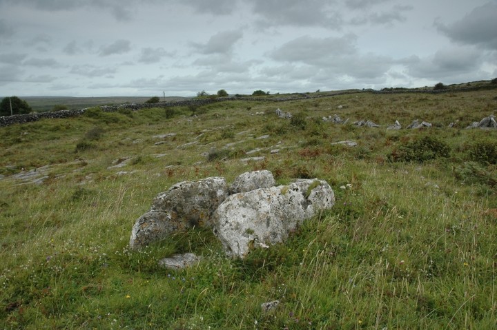
Parknabinnia (Cl. 66)
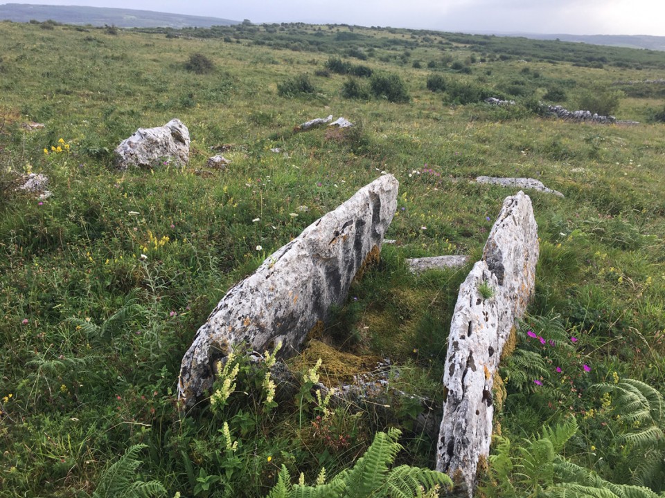
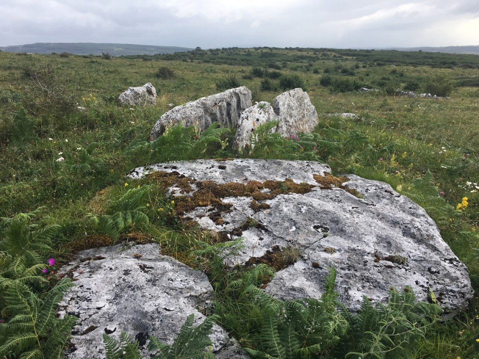
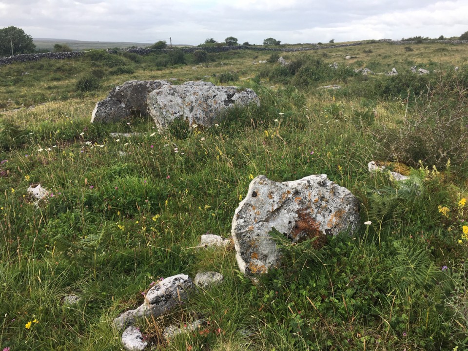
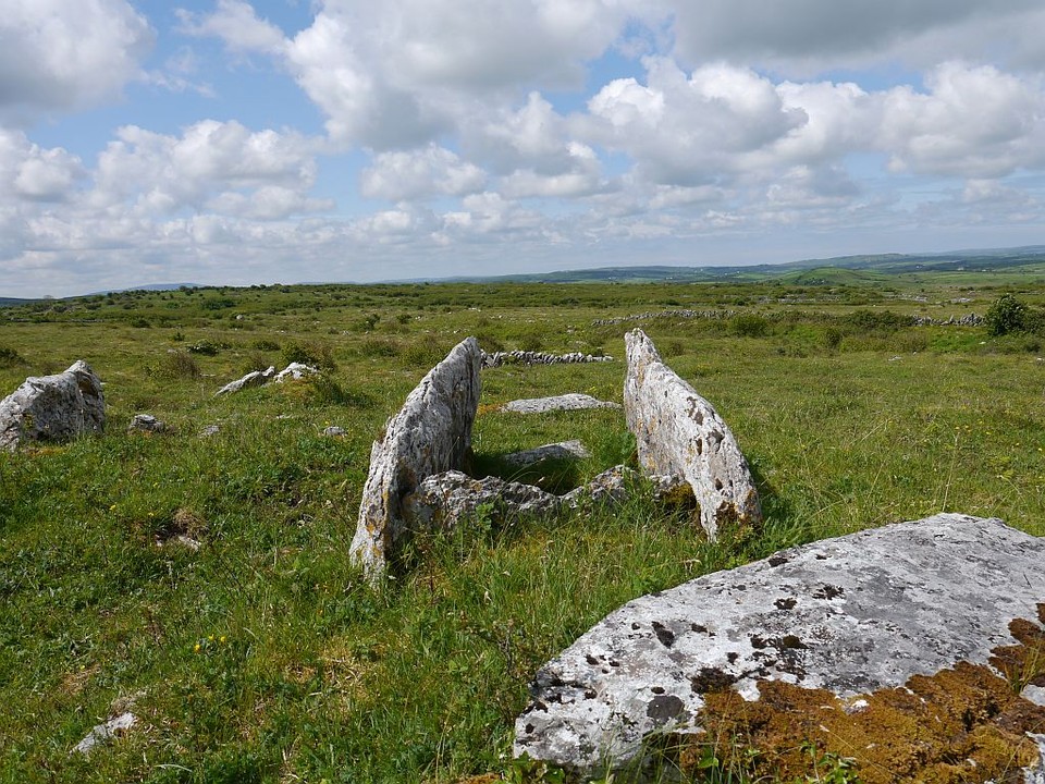
Wedge Tomb
Parknabinnia (Cl. 66) (Wedge Tomb) on The Modern Antiquarian, the UK & Ireland's most popular megalithic community website. 11 images, plus information on many more ancient sites nearby and across the UK & Ireland.
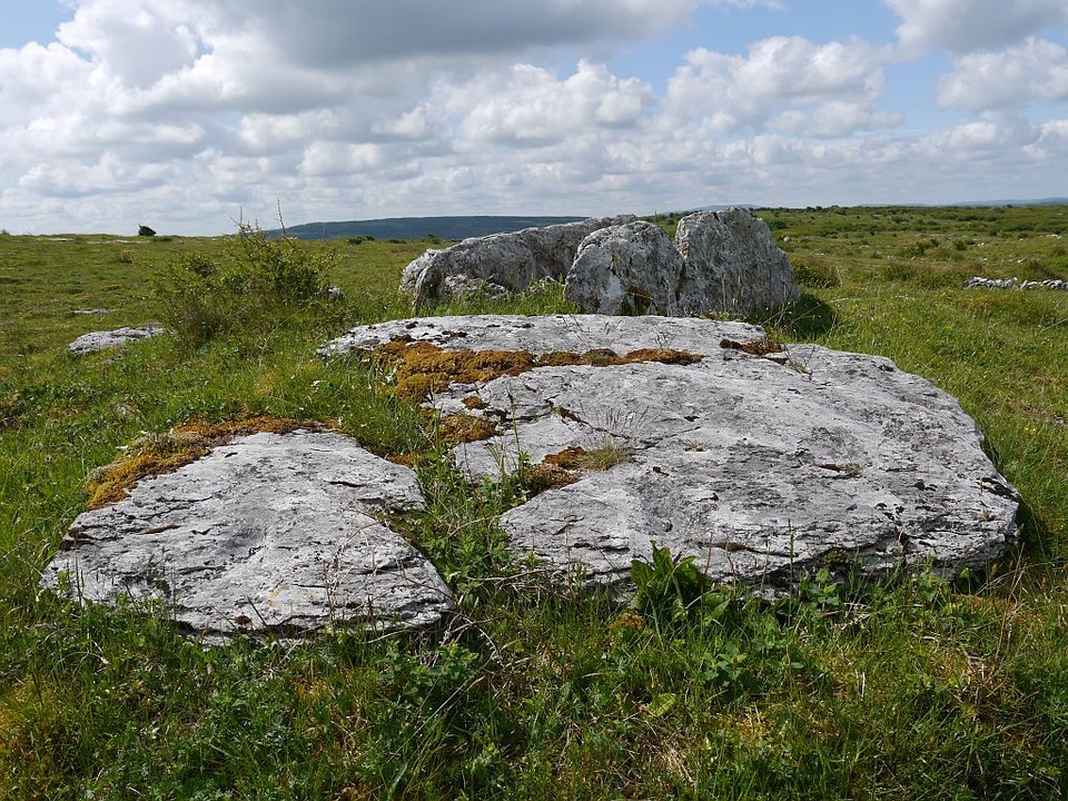
Image © ryaner
Nearest Town:
Corrofin (5km SE)
OS Ref (IE):
R264937 /
Sheet: 51
Latitude:
52° 59' 20.51" N
Longitude:
9° 5' 46" W
Added by
FourWinds
Images (11)
0 discussions
Start a topic
Show |
Hide
Web searches for Parknabinnia (Cl. 66)
Flickr
Google
Google Images
The Megalithic Portal
Bing
Stone Pages
Wikipedia
Show map
(inline Google Map)
- Sites within 20 km -
-
Parknabinnia (Cl. 67) (0.22km SE) (27 posts)
Parknabinnia (Cl. 153) (0.22km SSW) (7 posts)
Commons North (Cl. 65) (0.32km NNE) (0 posts)
Leana (Cl. 68) (0.5km NE) (16 posts)
Leana (0.51km ENE) (2 posts)
Leana (0.54km ENE) (7 posts)
Parknabinnia (Cl. 69) (0.58km SSW) (3 posts)
Parknabinnia (Cl. 59) (0.67km WSW) (0 posts)
Parknabinnia (0.71km SW) (3 posts)
Parknabinnia (Cl. 61) (0.72km SW) (4 posts)
Parknabinnia (Cl. 62) (0.78km SW) (0 posts)
Leana (Cl. 57) (0.78km NE) (3 posts)
Parknabinnia (Cl. 60) (0.8km WSW) (0 posts)
Commons North (Cl. 56) (1.08km NE) (4 posts)
Ballycasheen (2.13km SW) (2 posts)
Creevagh (2.32km NNE) (31 posts)
Clooneen (3.24km W) (6 posts)
Cahercommaun (3.32km NE) (22 posts)
Fanyglavin (3.58km NW) (12 posts)
Cahermackirilla (3.59km NW) (3 posts)
Ballyganner South (3.69km W) (3 posts)
Tullycommon (3.69km NE) (4 posts)
Ballyganner South II (4.02km W) (0 posts)
Ballyganner North III (4.06km W) (7 posts)
Carran (4.35km WNW) (3 posts)
Slievenaglasha (4.37km NE) (4 posts)
Ballyganner North II (4.41km W) (6 posts)
Ballyganner South (4.44km W) (6 posts)
Iskancullin (4.73km WNW) (1 post)
Tullycommon (Cl. 54) (4.76km NE) (0 posts)
Castletown (4.77km NE) (4 posts)
Ballyganner North (4.87km W) (6 posts)
Meggagh (5.13km NNW) (4 posts)
Poulawack (5.7km WNW) (13 posts)
Poulawack II (5.73km WNW) (5 posts)
Moheramoylan (Cl. 30) (5.81km NW) (1 post)
Poulawack Souterrain (5.82km WNW) (6 posts)
Cappaghkennedy (5.93km NE) (1 post)
Ballykinvarga (6.37km W) (0 posts)
Caherconnell (6.43km NW) (8 posts)
Eanty More (6.73km NNW) (4 posts)
Poulnabrone (7.29km NW) (66 posts)
Ballymihil (7.62km NNW) (7 posts)
Lissylisheen (7.62km WNW) (2 posts)
Baur South (7.78km WNW) (0 posts)
Baur South (7.81km WNW) (3 posts)
Baur South (Cl. 26) (7.92km WNW) (6 posts)
Baur North (7.92km WNW) (0 posts)
Baur South (7.92km WNW) (10 posts)
Poulaphuca (7.99km NNW) (7 posts)
Rannagh West (8.05km N) (2 posts)
Gleninsheen (9.23km NW) (10 posts)
Boloona (9.28km NNW) (4 posts)
Cahermacnaghten (9.31km WNW) (5 posts)
Gleninsheen (9.75km NW) (20 posts)
Berneens (9.82km NW) (8 posts)
Coolnatullagh (9.86km NNE) (3 posts)
Coolnatullagh (10.04km NNE) (2 posts)
Coolnatullagh (10.4km NNE) (2 posts)
Coolnatullagh (10.41km NNE) (3 posts)
Moyree Commons (10.88km E) (10 posts)
Ballyallaban (11.46km NW) (2 posts)
Ballytarsna (11.86km W) (2 posts)
An Ráth (11.87km NW) (6 posts)
Cahermore (12.37km NW) (3 posts)
Lissateeaun (12.57km W) (1 post)
Killian (12.73km ESE) (2 posts)
Slievecarran (13.21km NNE) (0 posts)
Faunarooska (Cl. 5) (13.55km WNW) (4 posts)
Faunarooska (Cl. 4) (13.59km WNW) (2 posts)
Turlough Hill/Knockycallanan (13.64km NNE) (7 posts)
Faunarooska (Cl. 3) (13.65km WNW) (2 posts)
Turlough Hill/Knockycallanan (13.77km NNE) (11 posts)
Curraghadoo (13.94km WSW) (4 posts)
Caherphuca (14.17km E) (8 posts)
Derrynavahagh (14.45km WNW) (12 posts)
Ballyelly (16.52km WNW) (6 posts)
Ballyelly Hut Site (16.52km WNW) (4 posts)
Gleninagh North (18.11km NW) (5 posts)
Doonmeave (18.16km WSW) (1 post)
Knockstoolery (18.88km W) (2 posts)
Ballynastaig (19.42km NE) (0 posts)
Ballynastaig (19.47km NE) (0 posts)
Derrycallan (19.6km ENE) (3 posts)
Aughinish (19.6km N) (7 posts)
Doolin (19.79km W) (1 post)
Doolin (19.84km W) (2 posts)
Doolin (19.87km W) (3 posts)
Doorus (19.95km NNE) (4 posts)
- Add -
-
Add news
Add an image
Add fieldnotes
Add folklore
Add miscellaneous
Add a link
-
Add a site
Add a nearby facility
Add an alternative name/spelling
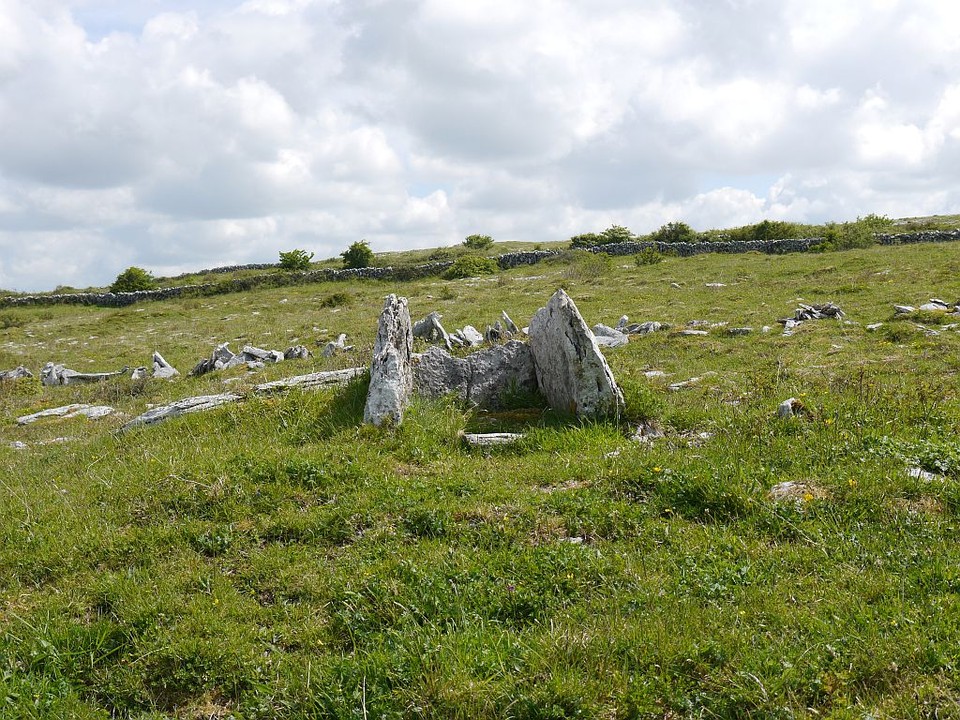
Images
(click to view fullsize)
Add an image
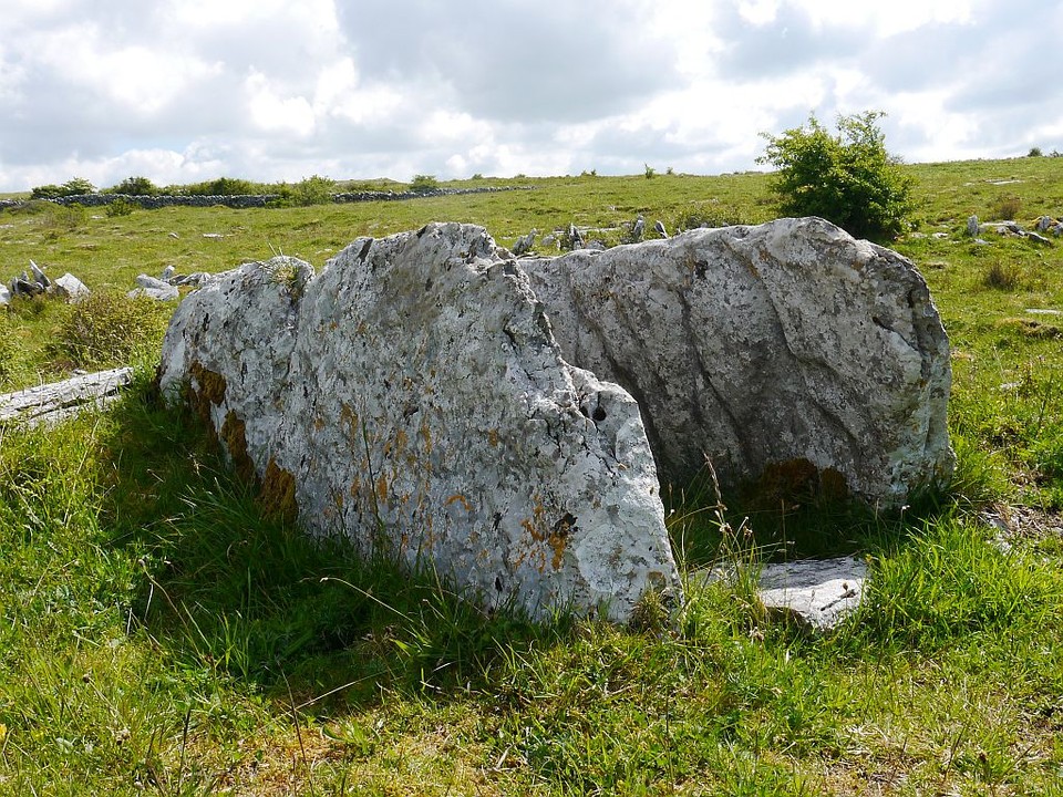
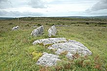 Image © ryaner
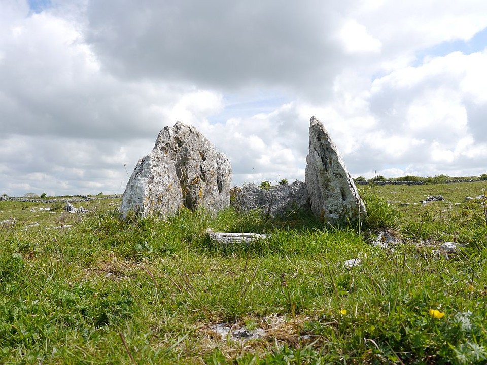