|
|

|
|
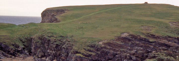
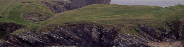
Brough of BiggingCliff Fort
|
||||||||||||||||||||||||
|
|
|
Images (click to view fullsize) |
|
|
Fieldnotes |
|
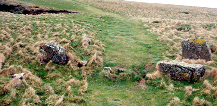
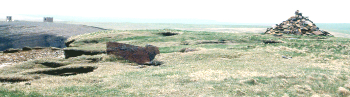
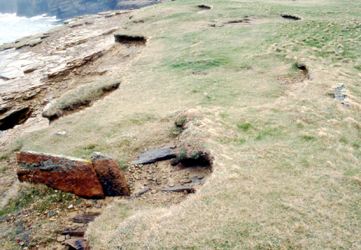
| You can't possibly miss the headland that it's on but there is a map at the car park to be on the safe side. Very difficult to reach (though a peach compared to the Broch of Borwick). Even to get there you have to go over fractured stone pavement along the coast, pass over a small stream and around a tricky boggy path. Only one of the defensive walls is that obvious but it is charming even if not a full line of stones know. There are some structures o the top that were (?fancifully) called sailors' graves. I saw one of these by the cliff edge ahead of the stone cairn and on the RH side, roughly 3m across. Just three slabs sticking up and a few other stones beside, but a very obvious structure in regards to the situation |
23rd April 2004ce |
Miscellaneous |
|
| The relationship between the brough and the 'sailor's graves' resembles that between the promontary fort of Brough in Tankerness HY54501005 and the 'Covenanter's Graves' HY54461005 i.e. probably associated buildings. |
8th September 2004ce |
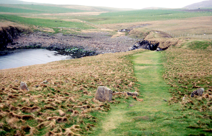
| Promontory fort consisting of two widely spaced walls according to RCAHMS NMRS record HY185031 . About as far south of the Yesnaby road end as the Broch of Borwick is to the north - I would suggest that in Orkney promontory forts are being used in the place of brochs to maintain some kind of spacing . |
20th March 2004ce |