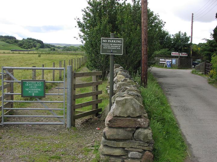
The site is a short stroll along the road from the main Clava Cairns, access is along a neat path from Milton of Clava, where the road bends sharply southeast.
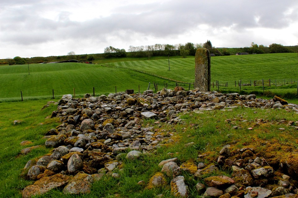
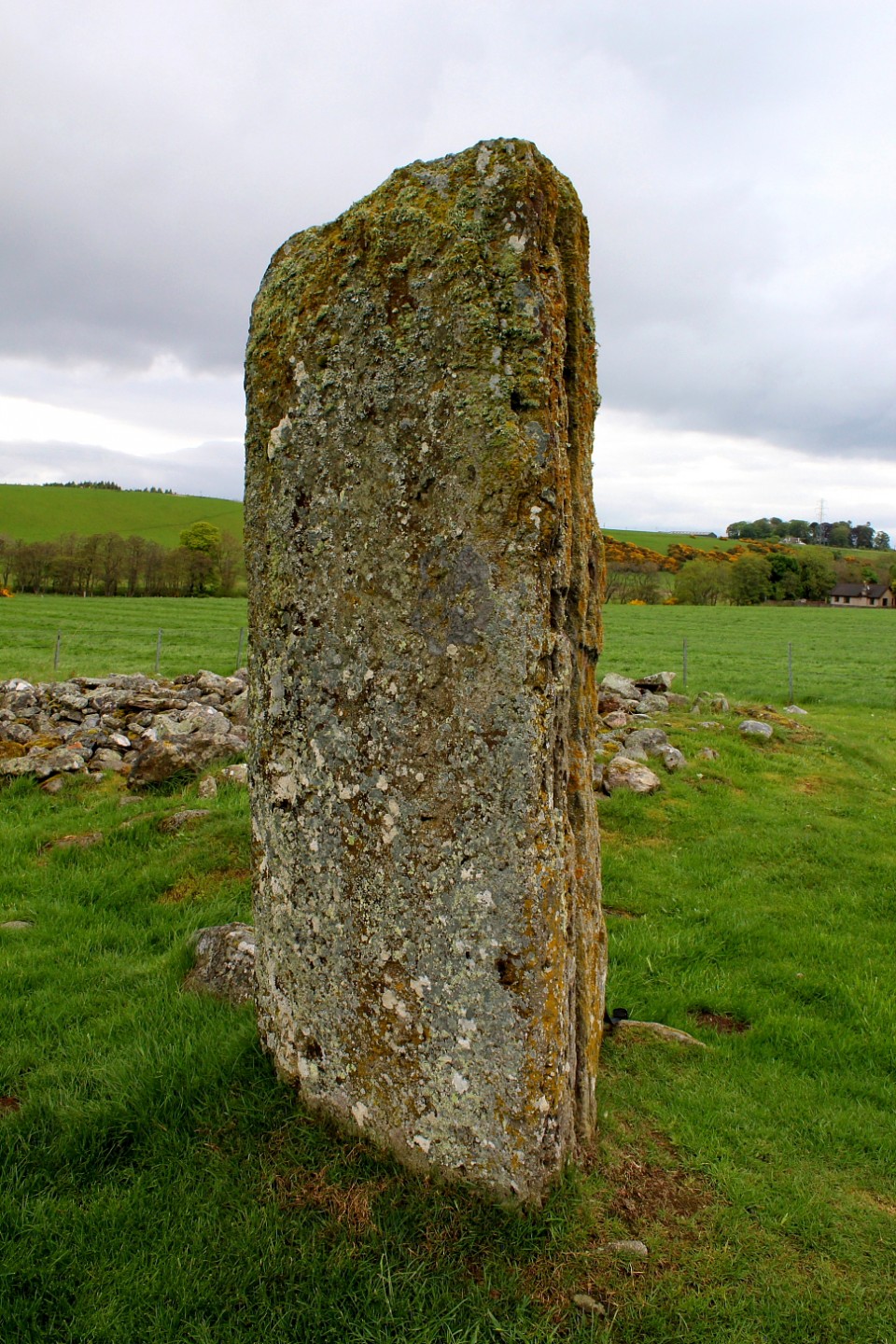
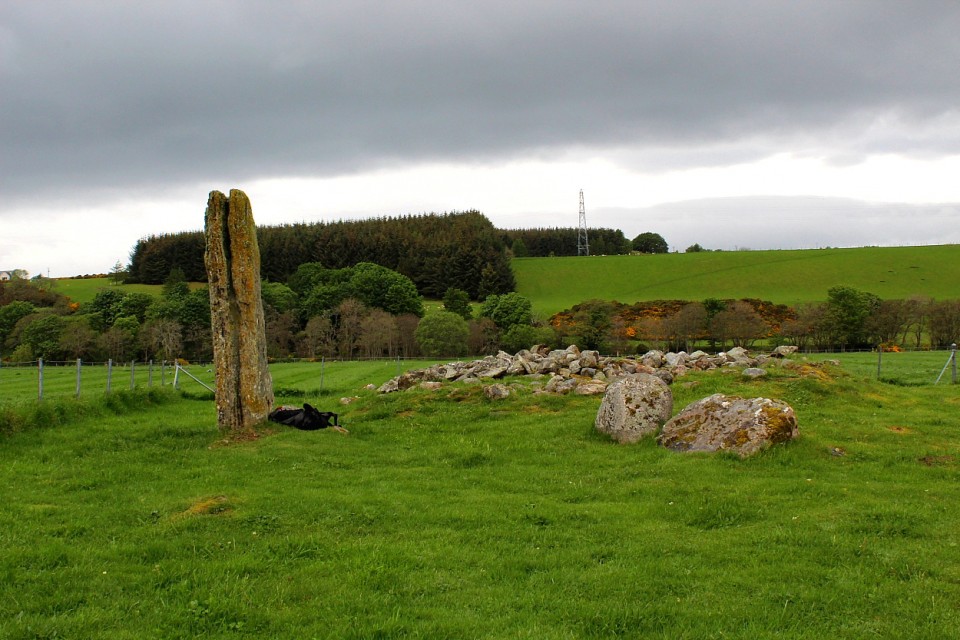
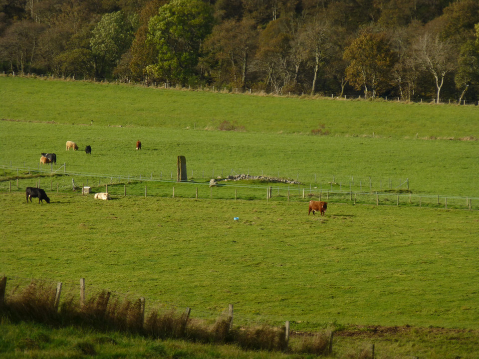
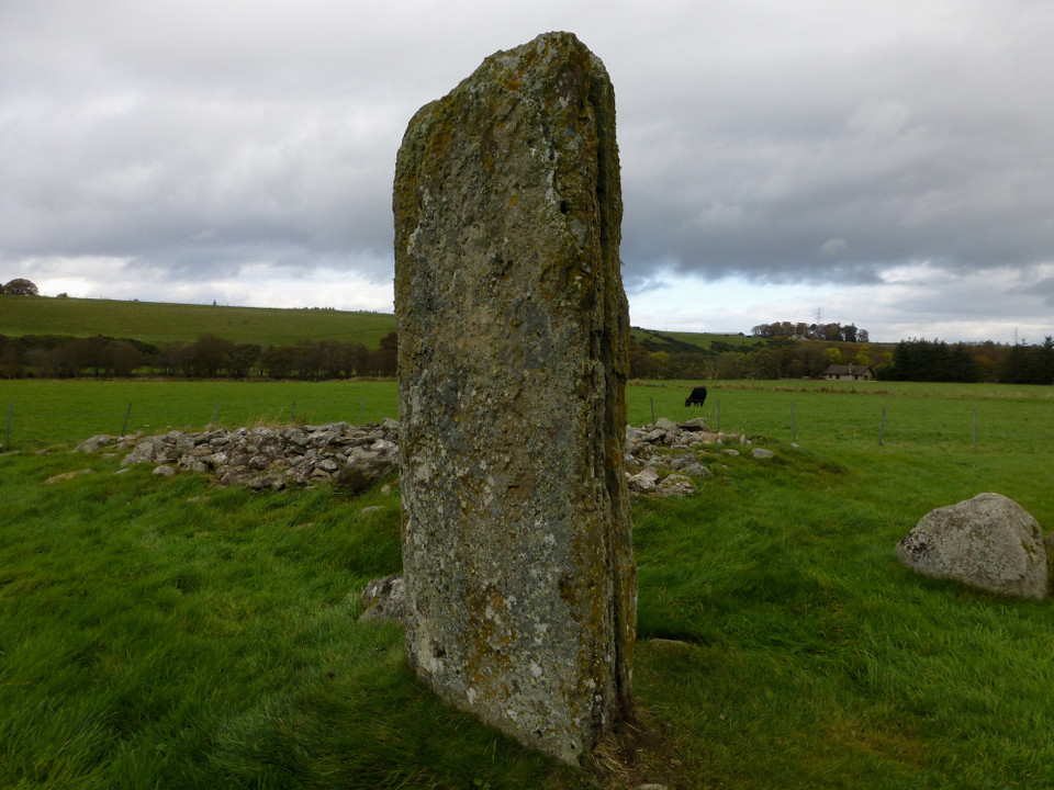
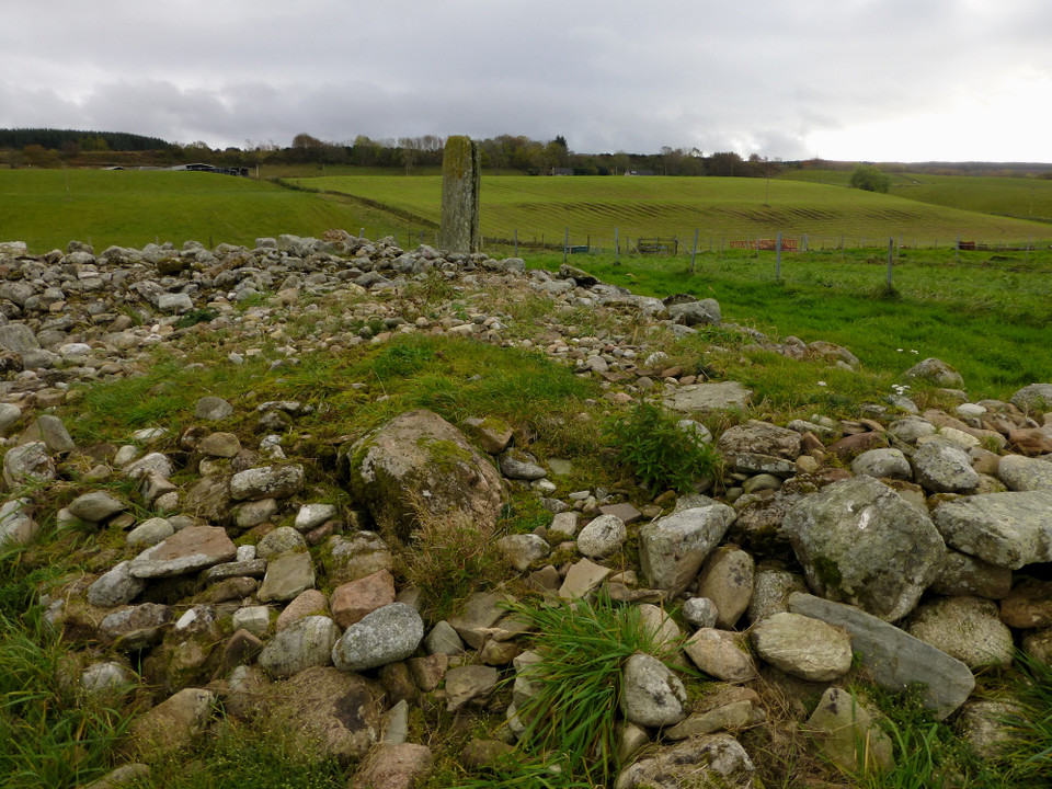
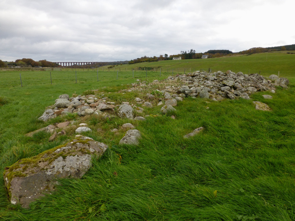
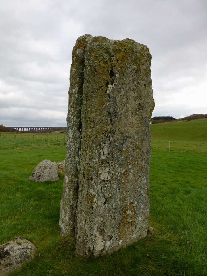
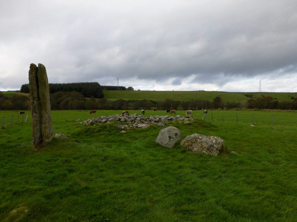
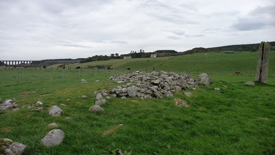
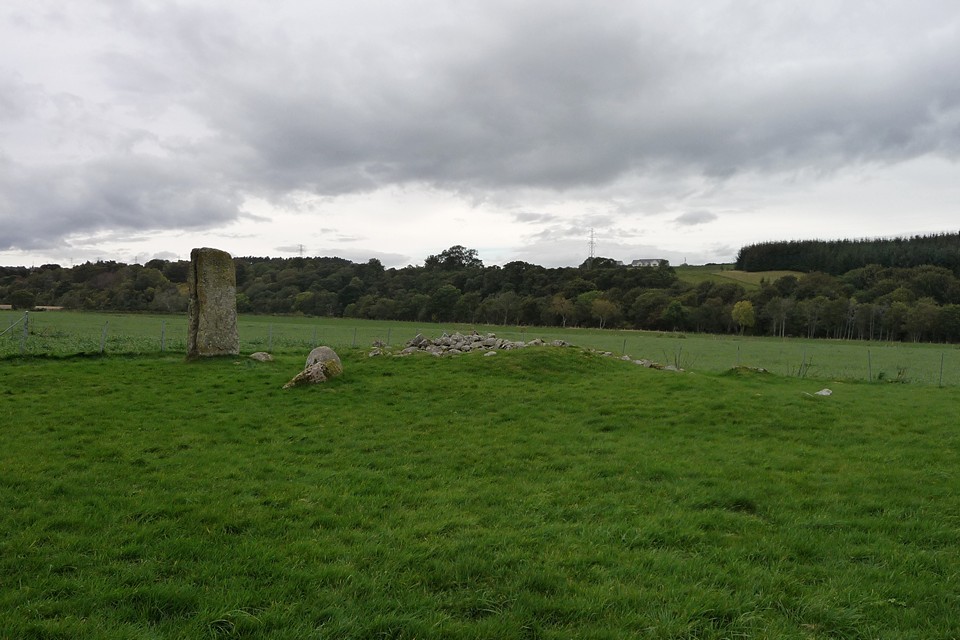
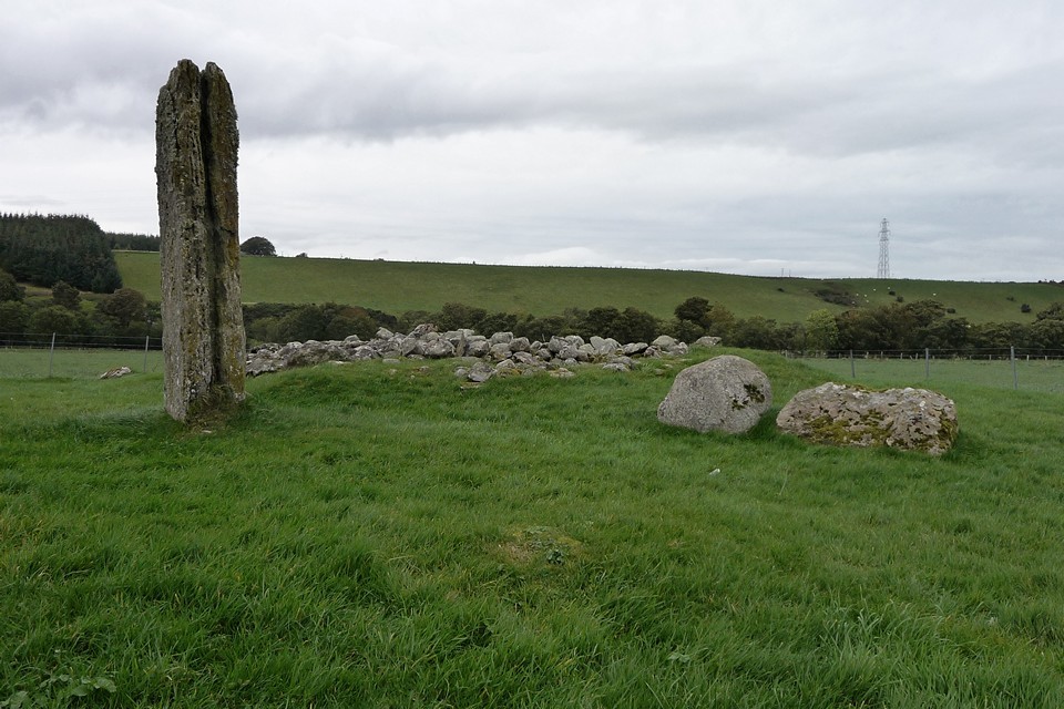
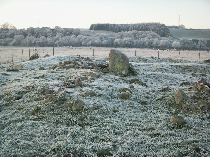
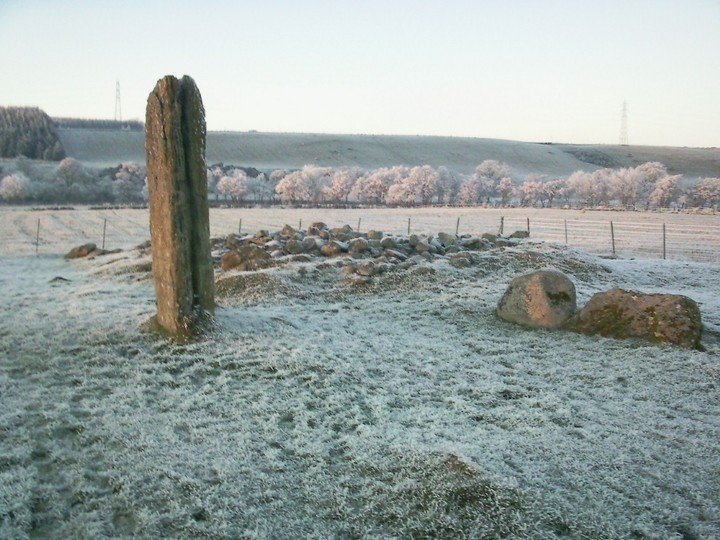
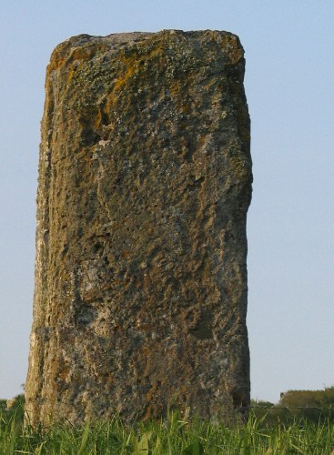
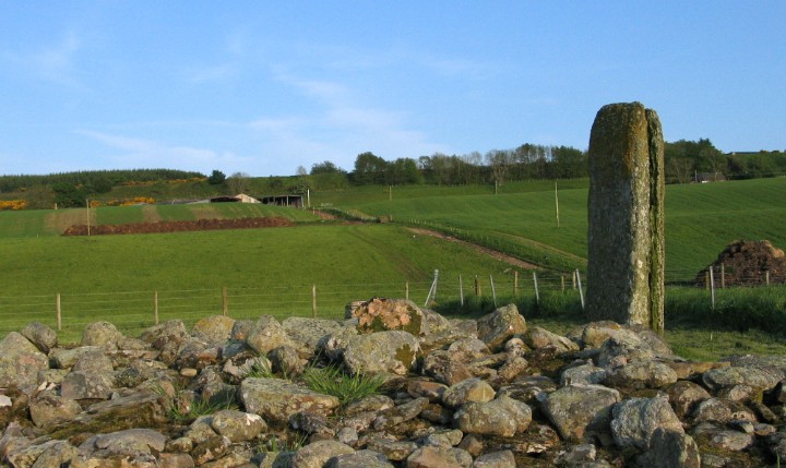
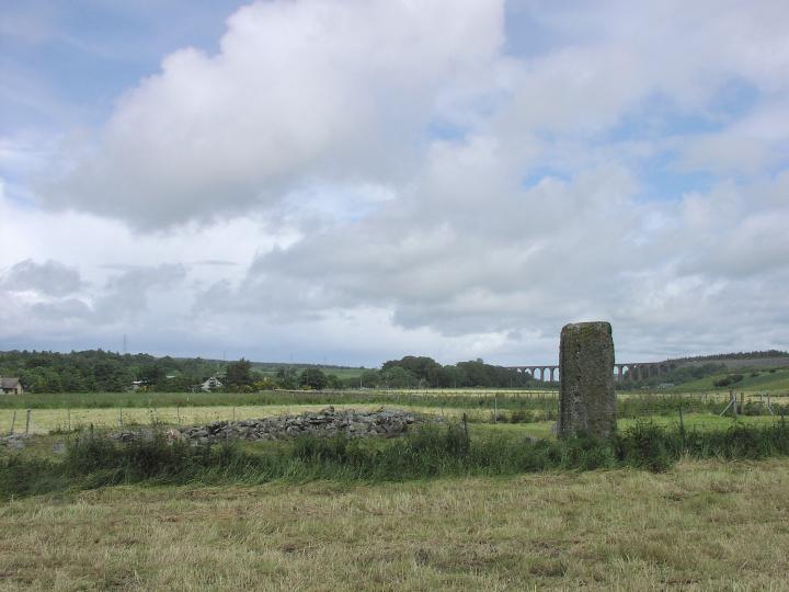
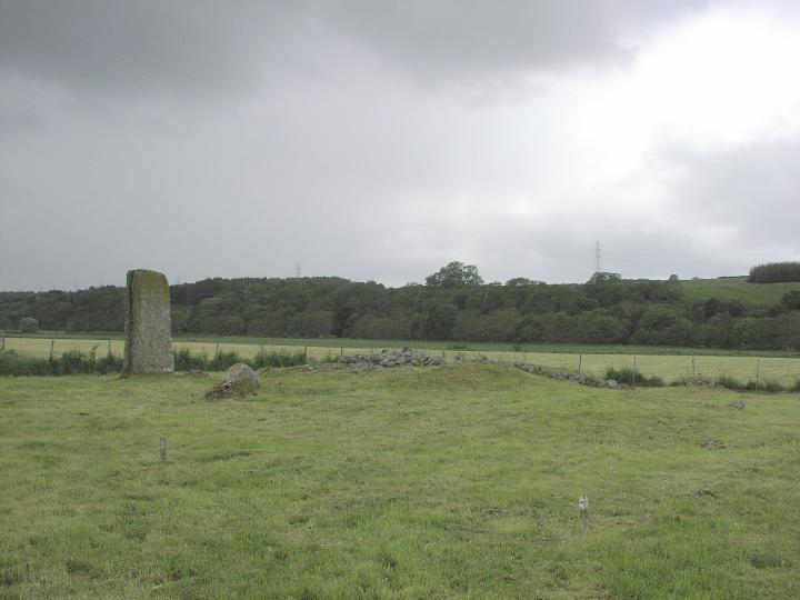
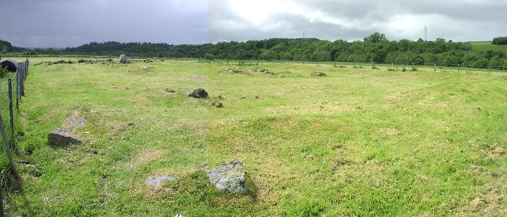
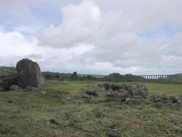
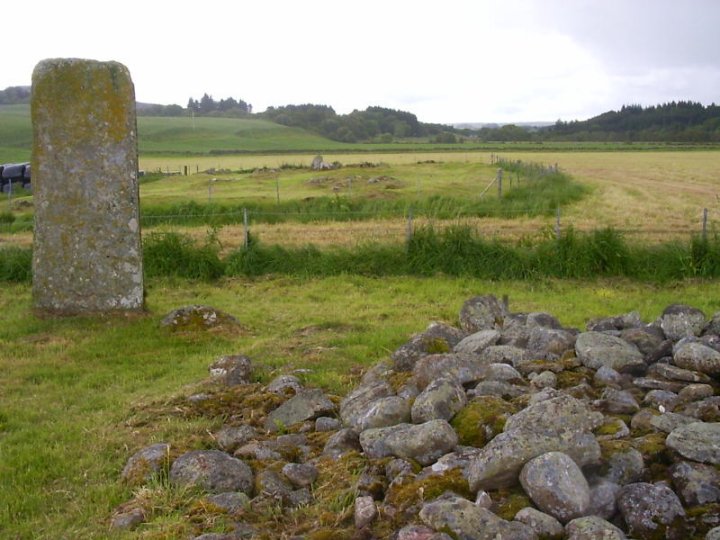
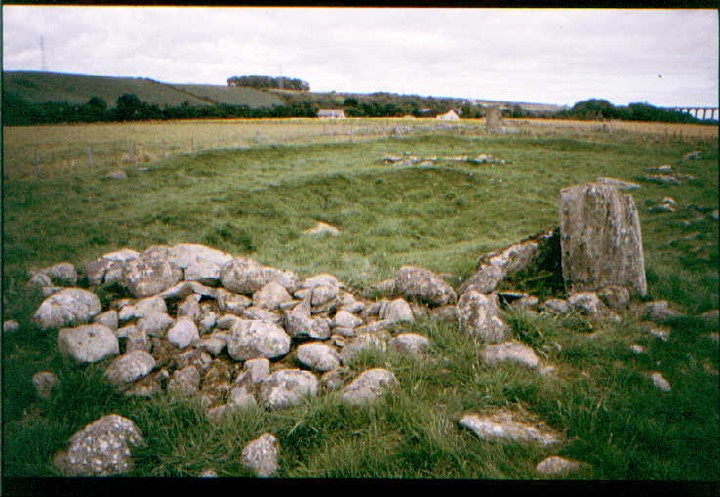
The most obvious marker is the lovely “playing card” slab, all that remains of the circle that once surrounded the cairn here. The cairn itself is disturbed and much of the material has been rather scattered, but a low mound remains, still pretty substantial. It lacks the special atmosphere of its near neighbours, and the river is unseen and unheard in spite of its proximity. The valley location is very pleasant and peaceful though, and the site probably sees substantially fewer visitors than the more famous site so close by. Certainly worthy of the very minimal effort required.
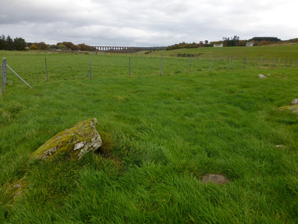
Lies about a quarter mile SW of the more famous Balnuaran of Clava cairns. Most prominent feature is 2.4m high monolith from surrounding stone circle. Other stones are visible but difficult to establish a clear overall pattern.

 Posted by thesweetcheat
 Posted by greywether