The Modern Antiquarian. Stone Circles, Ancient Sites, Neolithic Monuments, Ancient Monuments, Prehistoric Sites, Megalithic MysteriesThe Modern Antiquarian


The Bulwark

Hillfort

<b>The Bulwark</b>Posted by GLADMANImage © Robert Gladstone
Nearest Town:Burry Port (8km NNW)
OS Ref (GB):   SS443928 / Sheet: 159
Latitude:51° 36' 43" N
Longitude:   4° 14' 56.28" W

Added by Kammer


Discussion Topics0 discussions
Start a topic


Show map   (inline Google Map)

Images (click to view fullsize)

Add an image Add an image
<b>The Bulwark</b>Posted by GLADMAN <b>The Bulwark</b>Posted by GLADMAN <b>The Bulwark</b>Posted by GLADMAN <b>The Bulwark</b>Posted by GLADMAN <b>The Bulwark</b>Posted by GLADMAN <b>The Bulwark</b>Posted by GLADMAN <b>The Bulwark</b>Posted by thesweetcheat <b>The Bulwark</b>Posted by thesweetcheat <b>The Bulwark</b>Posted by thesweetcheat <b>The Bulwark</b>Posted by thesweetcheat <b>The Bulwark</b>Posted by thesweetcheat <b>The Bulwark</b>Posted by thesweetcheat <b>The Bulwark</b>Posted by thesweetcheat <b>The Bulwark</b>Posted by thesweetcheat <b>The Bulwark</b>Posted by thesweetcheat <b>The Bulwark</b>Posted by thesweetcheat <b>The Bulwark</b>Posted by GLADMAN <b>The Bulwark</b>Posted by GLADMAN <b>The Bulwark</b>Posted by GLADMAN <b>The Bulwark</b>Posted by GLADMAN <b>The Bulwark</b>Posted by GLADMAN <b>The Bulwark</b>Posted by GLADMAN <b>The Bulwark</b>Posted by GLADMAN <b>The Bulwark</b>Posted by GLADMAN <b>The Bulwark</b>Posted by broen <b>The Bulwark</b>Posted by broen

Fieldnotes

Add fieldnotes Add fieldnotes
11/4/04
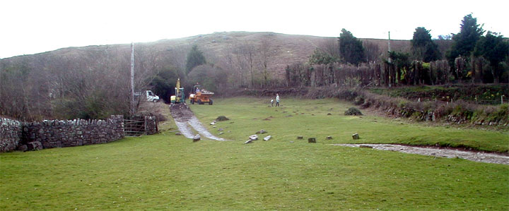
You can park in Llanmadoc and walk up the hill to the fort which according to GPS is 350m but seems alot further walking up hill.
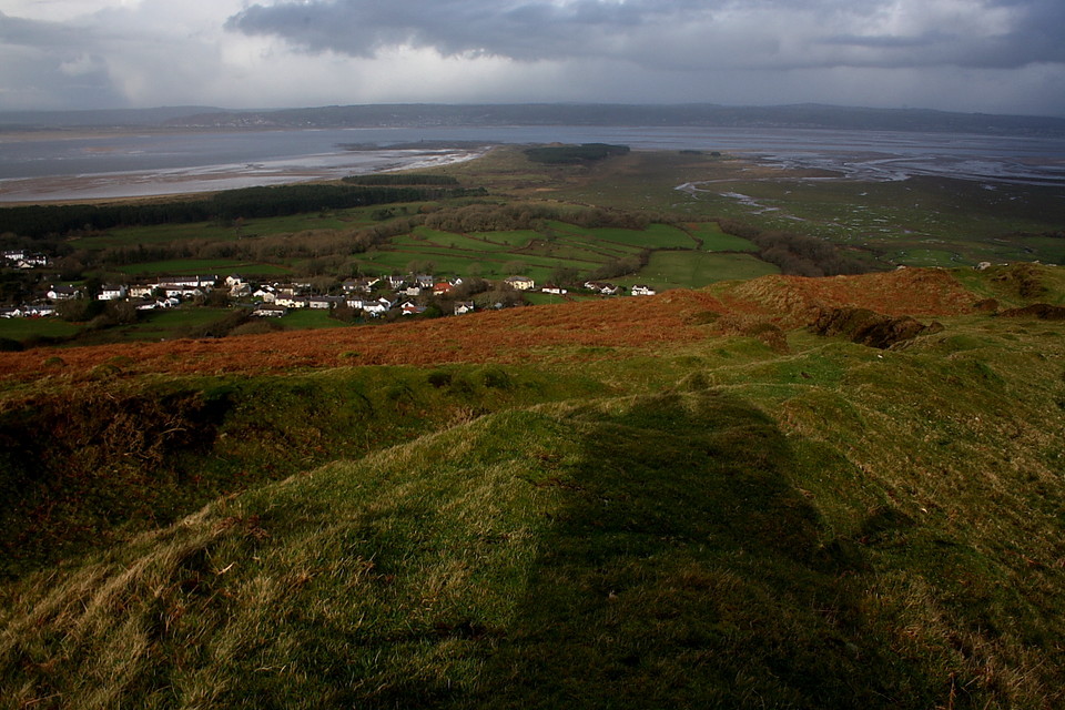
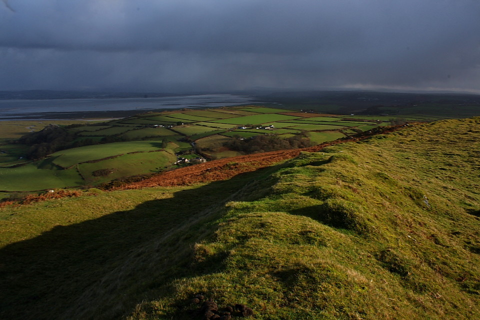
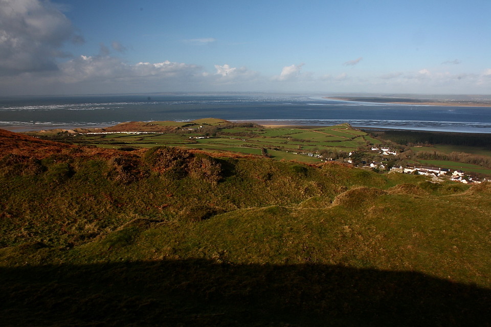
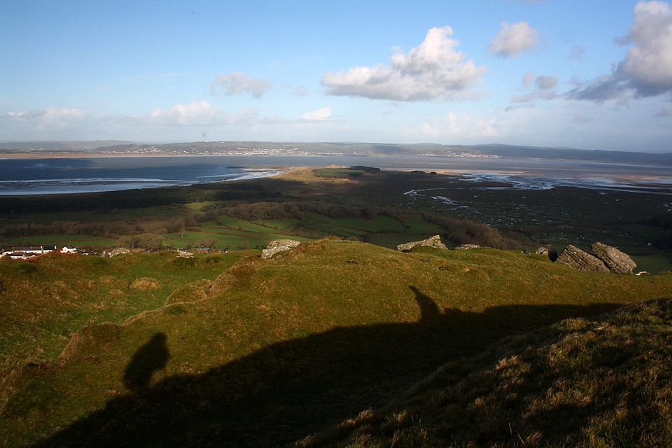
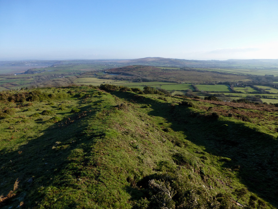
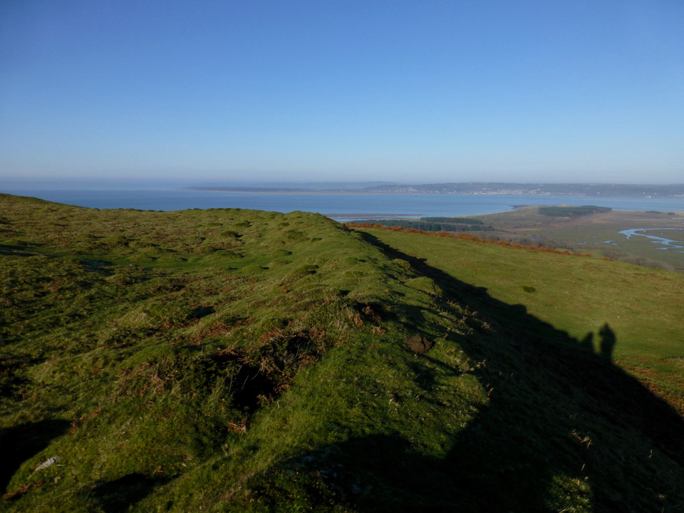
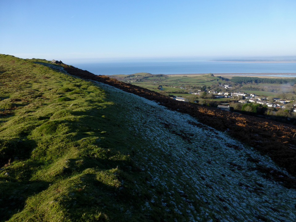
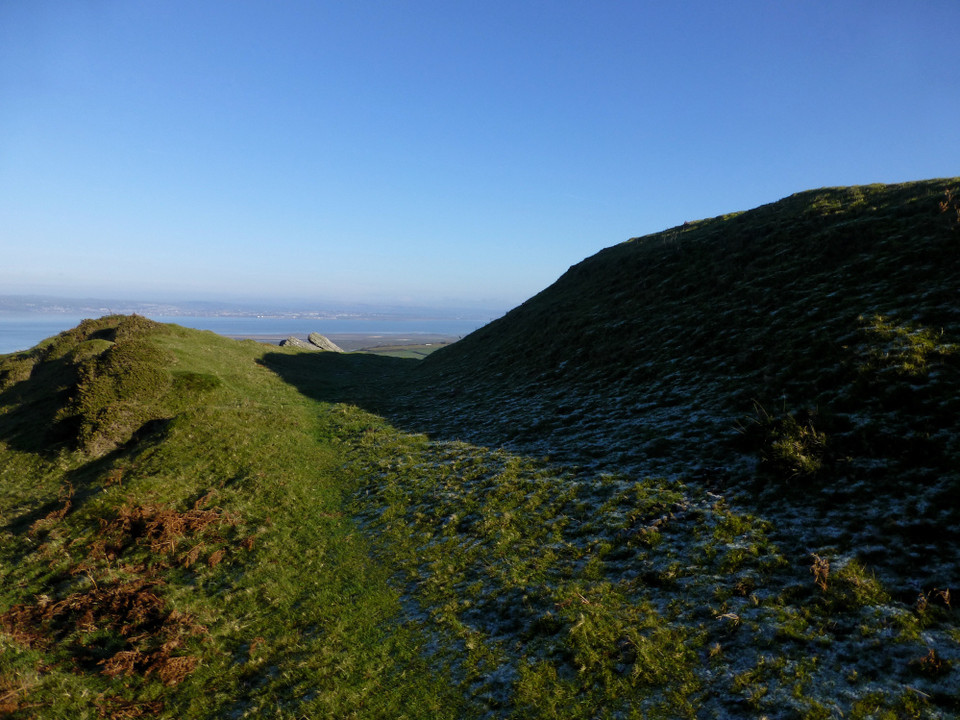
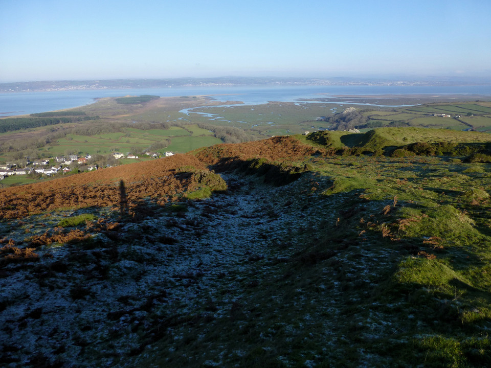
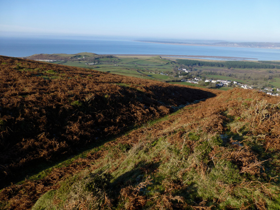
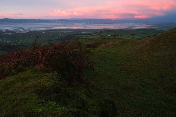
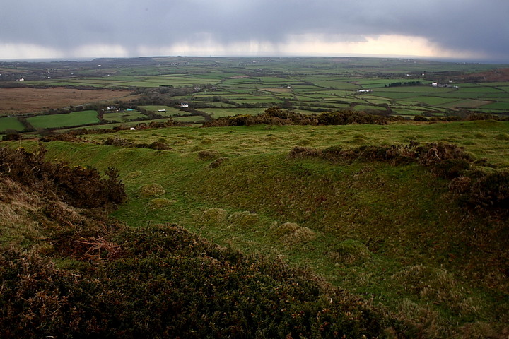
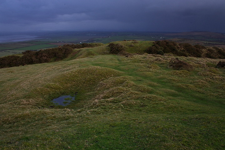
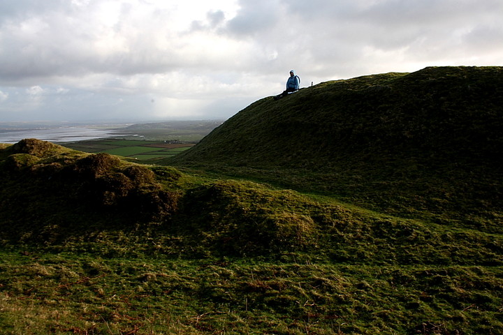
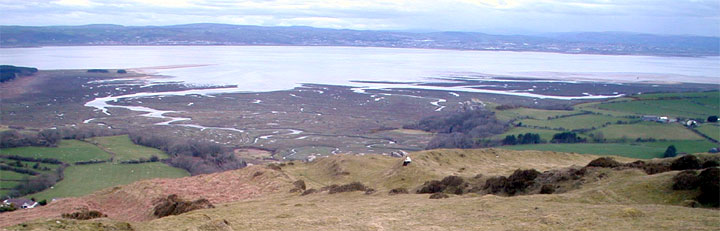
Once at the top the fort has astounding views to the North and North West of Broughton Bay and Whitford point and across the delta of Afon Llwchwrthe to the Pembrookshire coastline.
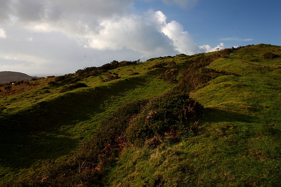
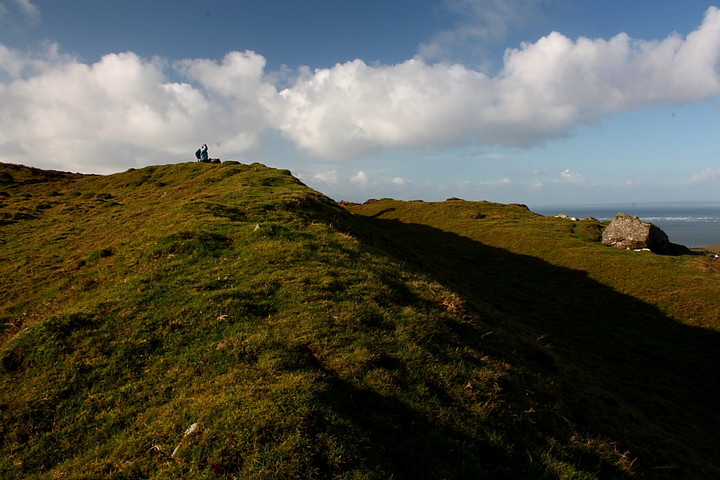
There is also (I assume) a cairn about 100 yards to the west of the fort very similar to the cairn adjacent to Maen Cetty (Arthurs Stone).
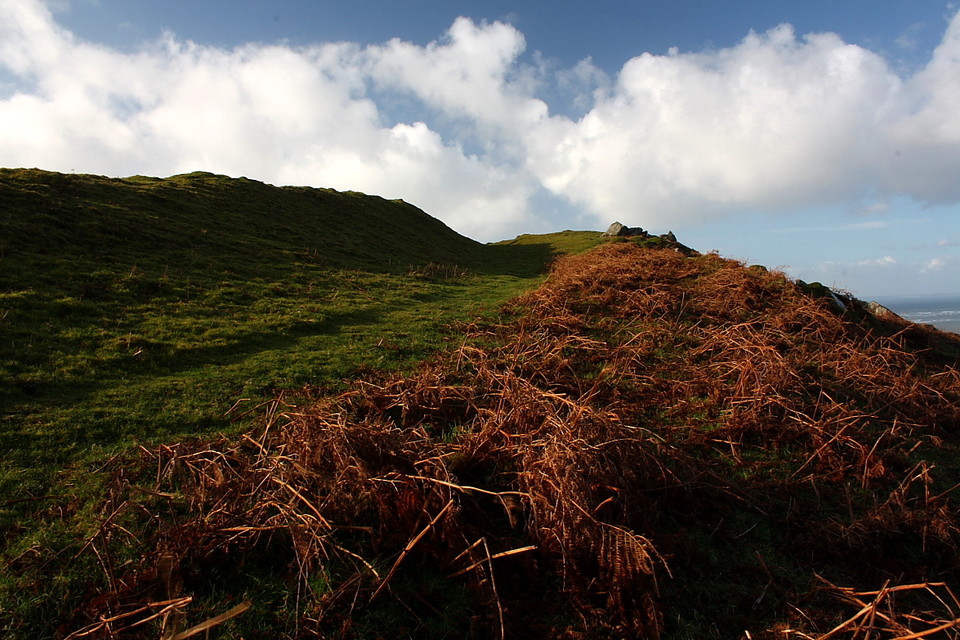
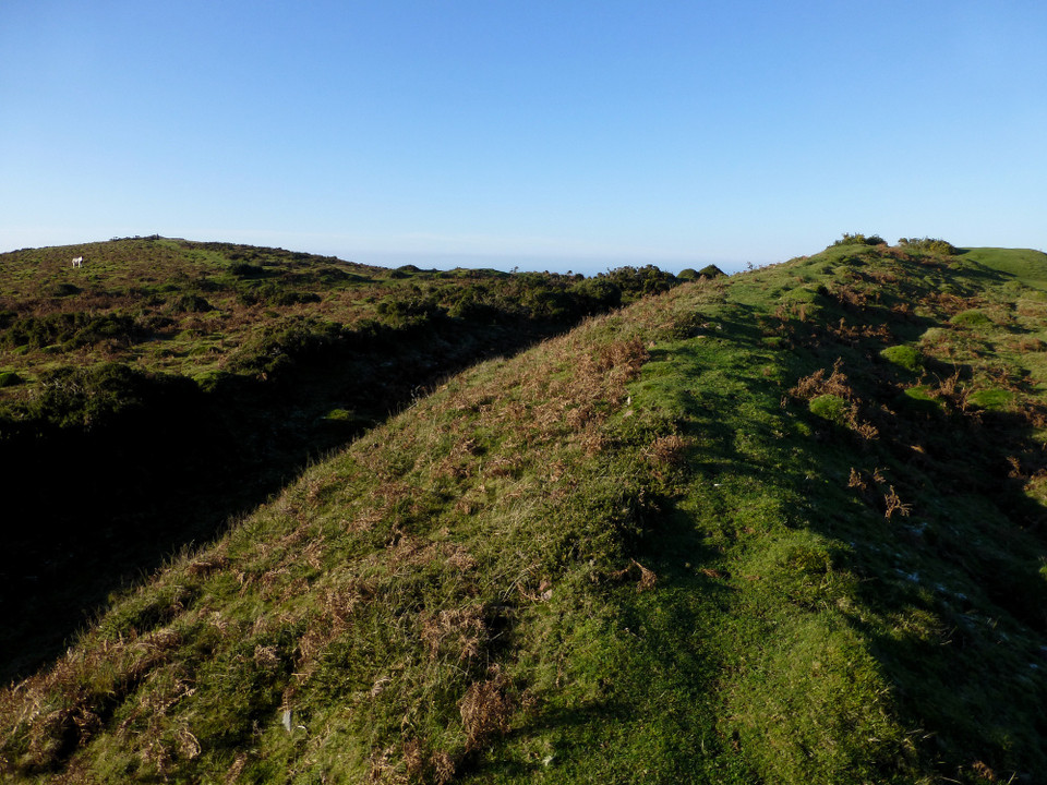
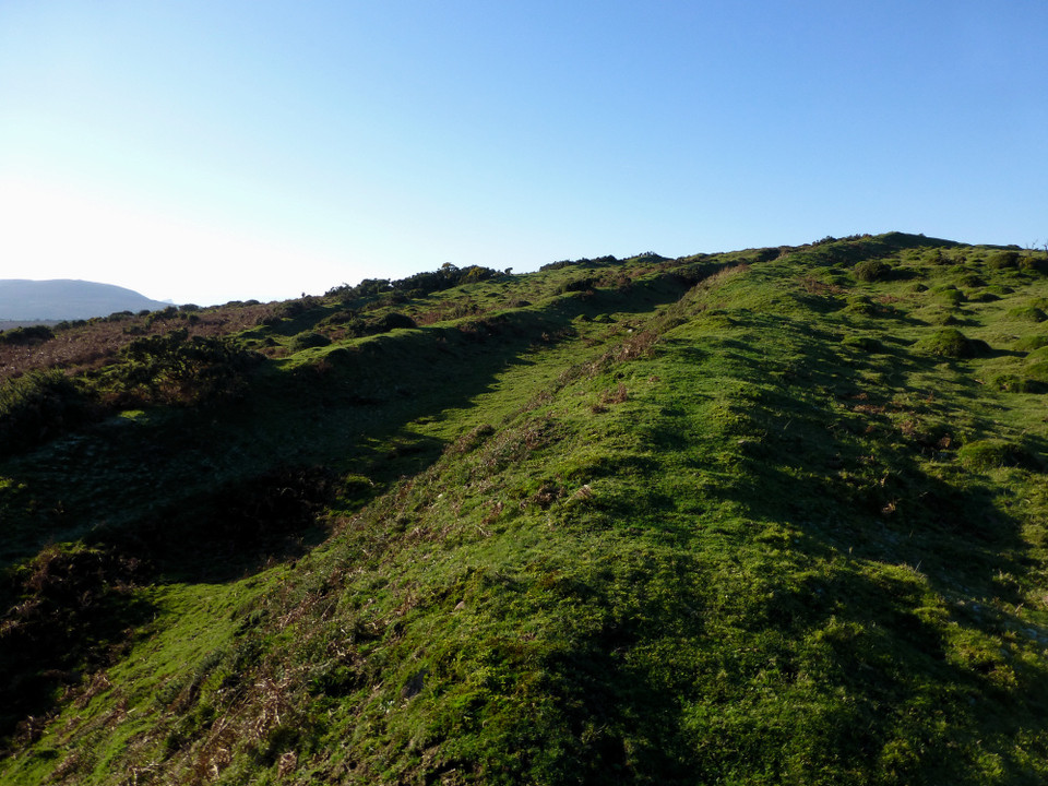
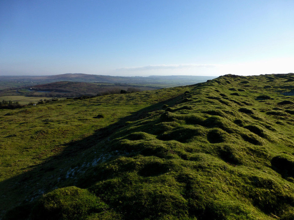
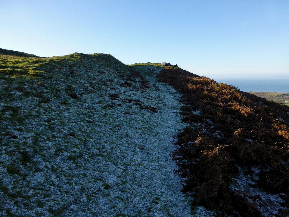
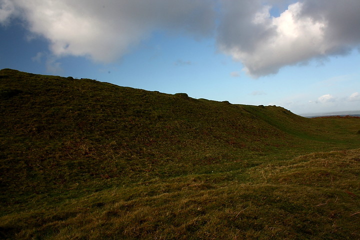
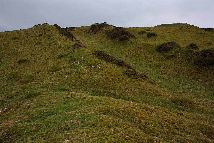
The ditches are substantial and the fort is roughly circular in shape.
*NB, one of the road workers at the bottom of the hill said it was an iron age structure.
broen Posted by broen
14th April 2004ce

Miscellaneous

Add miscellaneous Add miscellaneous
I've not visited this site, but apparently it's an oval shaped Iron Age defence, of about 0.9 hectares. It has an inner bank and ditch as well as an outer bank and ditch which is incomplete (and may have never been finished).

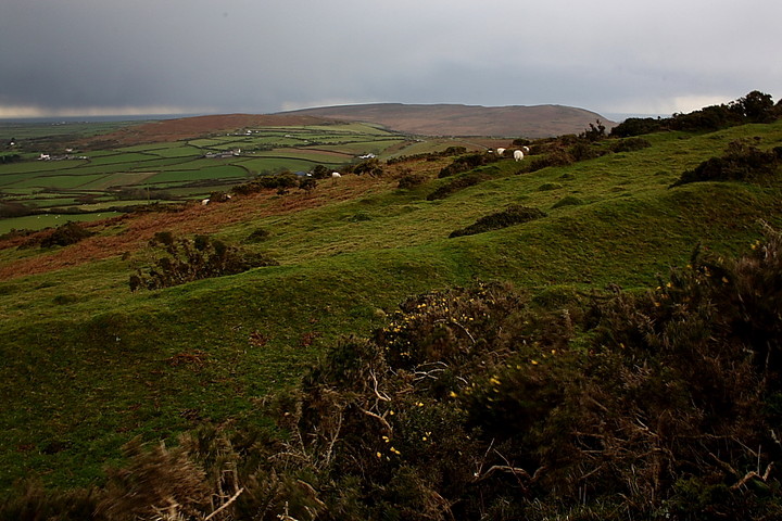
For some reason the fort doesn't stand at the summit of the hill, but on the ground sloping away from it looking out towards Cheriton. This makes no sense in defensive terms, so it's a bit of a mystery.
Kammer Posted by Kammer
28th May 2003ce
Edited 15th April 2004ce