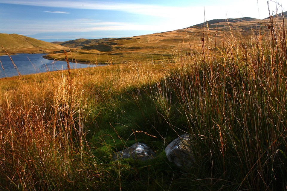
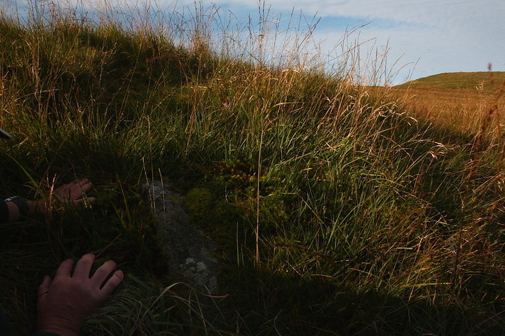
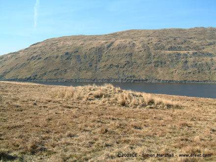
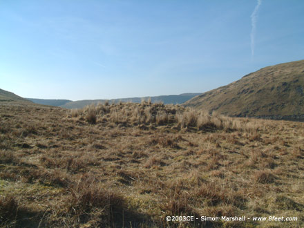
Visited 16th March 2003: A bit more impressive than Nant-y-Fedwen, this round cairn is really obvious from the road. It's quite large for the area, given it's altitude and the relative fertility of the surrounding land (I mean relative to the mountain peaks rather than the lowlands).
This cairn would once have shared the valley with a number of other sites, some of which (like the Aber Camddwr Ring Cairn) were destroyed with the creation of the Nant-y-Moch Reservoir. The peaks of all the surrounding mountains still have Bronze Age cairns on them, and there are still a number of sites along the valley. This area must have been humming with ritual significance a few thousand years ago!


 Artistic / Interpretive:
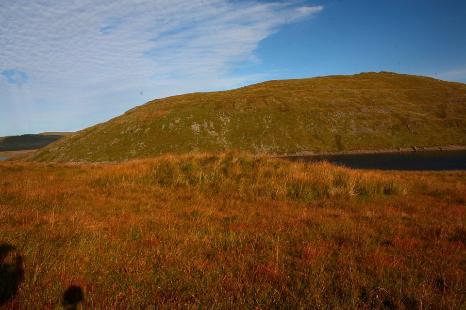
 Posted by Kammer