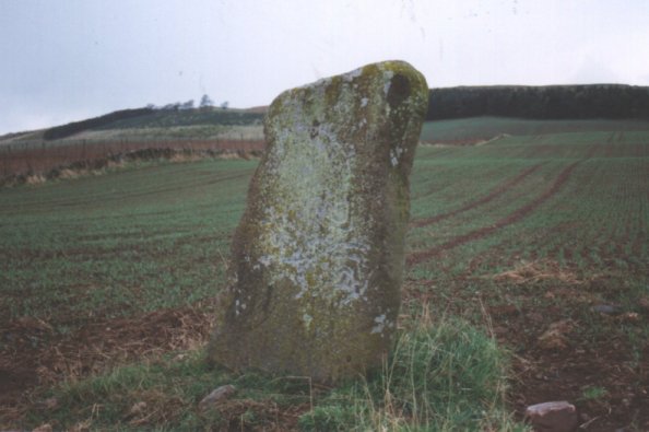
Unlike Nick I parked at the Bruceton entrance jumped the wee dyke and strolled down the slope to the stone. The carvings are now barely visible. Still another lovely stone in a lovely setting.
Went back up to the road and walked west to the Shanzie souterrain, which needed another look.
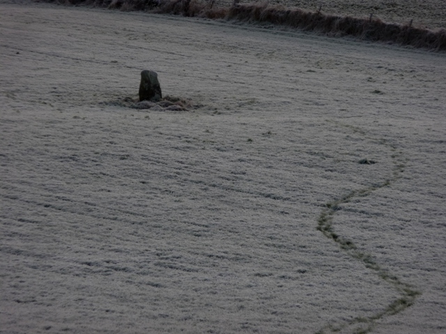
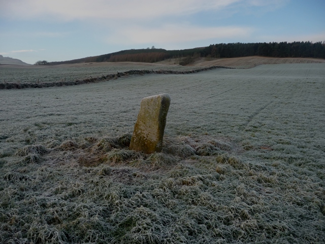
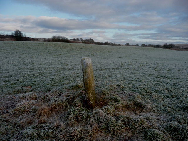
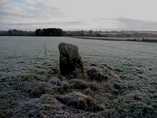
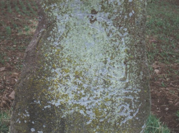
This interesting stone stands in the middle of a field approximately 3 kilometres east of Alyth. Take the B952 east from Alyth, to the fork onto the small road marked Airlie. Past Shanzie Farm on your right, less than half a kilometre on the left is the turning in to Bruceton Farm up on the hillside (well posted - Bed and Breakfast sign). Park on the verge, and walk back to the berry field on the other side of the road - an open gateway here takes you into the field. Walk east then follow the stone dyke south towards the River Isla. You will see the stone on your left in the field beyond the dyke, if the field is not in crop. You will have to climb over the dyke to gain access, and permission should be sought at the farm before doing this. It is well worth it, as this Class 1 stone, though eroded somewhat, still bears a distinct horseshoe mark without decorations, plus a Pictish beast (sometimes called an 'elephant') below. This carving is quite worn and less distinct. The stone lies on an ESE axis almost exactly equidistant between the Shanzie and Philpie stones.
According to Jervise (1857) a number of stone coffins were dug up around 1840 some 20 metres north-east of the stone.

 Posted by nickbrand
 Posted by BigSweetie