Killadeas modern church and ancient graveyard is a strange little site on the eastern shores of Lower Lough Erne, about 8 kms north of Enniskillen. There are three peculiarities that may be of interest here, and one that’s definitely not for here, but deserves a mention. This latter is the Bishop’s stone, an eerie, four-sided carved, hunched figure, in relief of one side with a face to the north. It’s the best thing here but alas it’s a no-no.
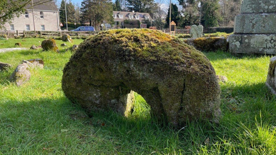
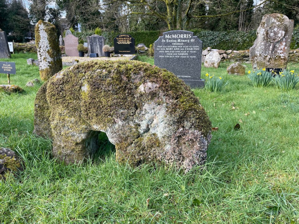
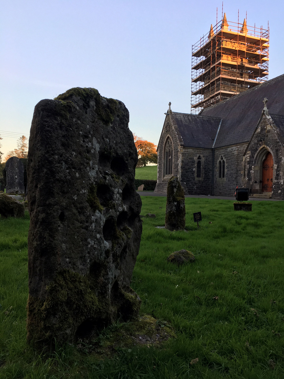
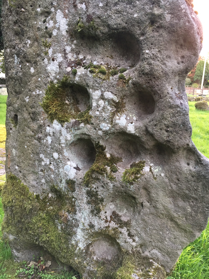
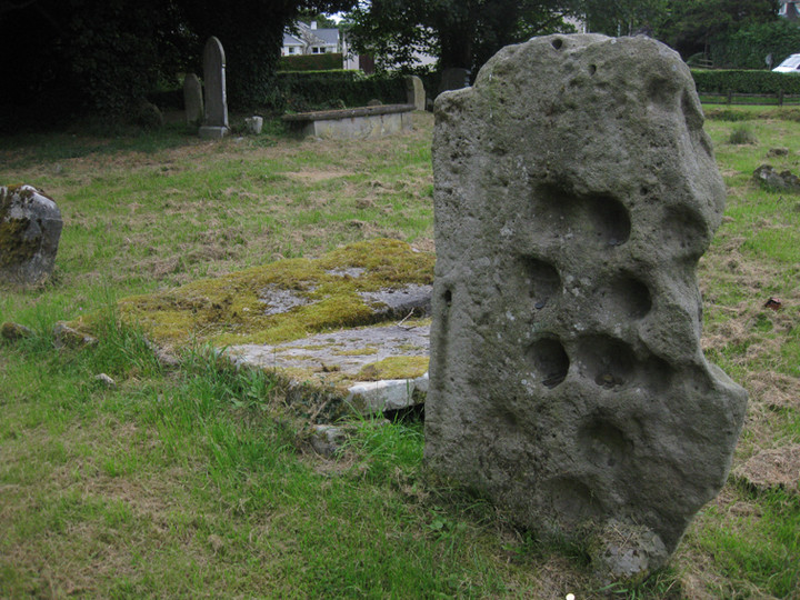
The other three stones are: a relatively innocuous standing stone; a grave slab with dubious cupmarks on its back side and; probably the only true prehistoric relic, a holed stone, with half the hole embedded in the turf. The main A47 Enniskillen to Kesh road is right over the hedge and this is a fast road but there is space to park a car and access seems to be welcomed with signage and a small pedestrian gate.


 Posted by ryaner