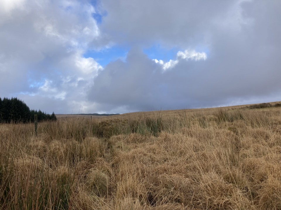
Directions to Drumanwherran S Cairn Cemetery: The access to the cairn cemetery is complicated by the construction of a nearby windfarm which may cause future restrictions. The following route is currently open: Take the unsigned New Luce turn off the straight on the A77 at NX 08557 63769, c. 0.3 miles N of the A751 Innermessan junction. There are traffic cones on the road restricting it to one lane. Follow this road for c. 5.3 miles to reach the disused Penwhirn Filter Station. Continue past the Penwhirn houses for c. 200 yards to a dead-end single track left turn over a bridge. This is the road to Lagafater Lodge. Take this road for c. 1 mile to reach Darnigap Farm. A track leading W into forestry starts opposite Dalnigap Farm. It is possible to park 50 yards up this track. The track runs for c. 1.2 miles through the trees. Follow this track on bike or foot to reach the dead-end. The track becomes a forest ride which is boggy underfoot. Follow this NW for c. 0.4 miles to the end of the forest ride. Head W for c. 50 yards to cross the burn at a narrow channel. Head NW through boggy rushes towards a prominent natural mound. Canmore Id : 61893 is c. 40 yards N, a circle covered in rushes. Follow a rough 4x4 track N for c. 120 yards to reach a small grassy cairn, Canmore Id : 61892. The most obvious landmark on Drumanwherrran Moor is c. 50 yard N along the 4x4 track. It is a modern Shepherds Cairn measuring c.10 feet high in the centre of a large robbed cairn, listed as Canmore Id : 61935. Take a 4x4 track heading W from here, passing a natural mound then bear S to Canmore Id : 61894, a grassy cairn with a recumbent slab in its centre. My walking route can be viewed on Drumanwherran S Cairns.
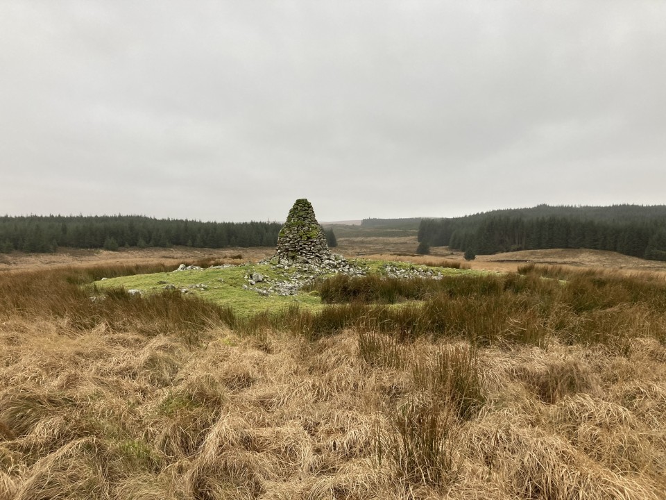
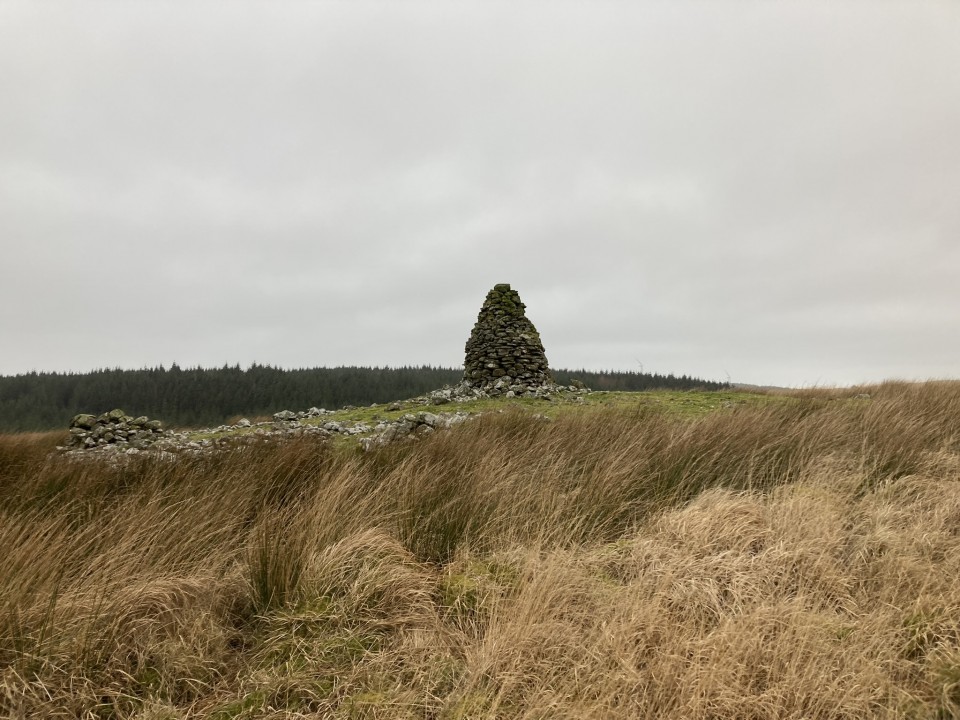
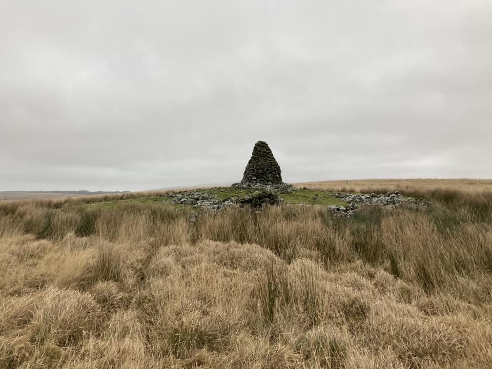
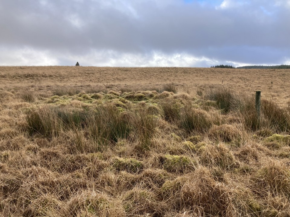
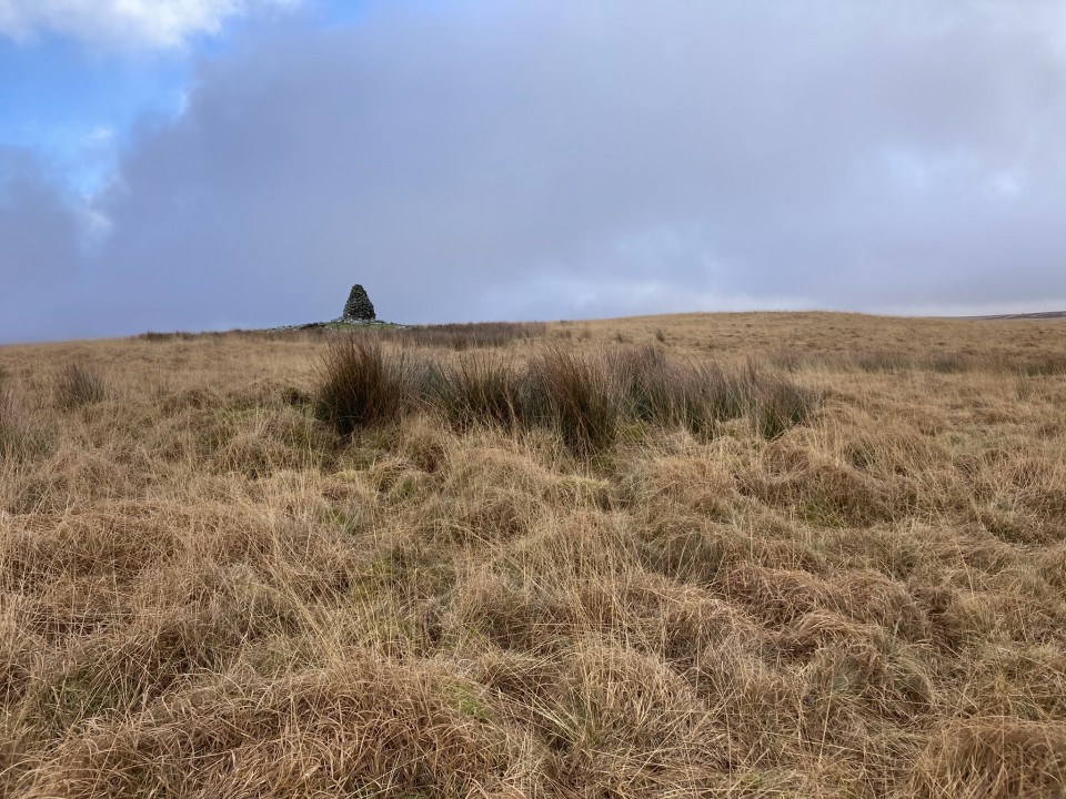
There is a group of 4 cairns located in a rectangular area, measuring c. 175 by 130 yards, on Drumanwherran moor c. 1.5 miles NNW of Penwhirn Reservoir. The largest cairn lies on the NE corner of the boggy moorland rectangle. It is the most prominent landmark due to a modern shepherds cairn erected in the centre of the grassy mound. The OS grid reference quoted above refers to this cairn.
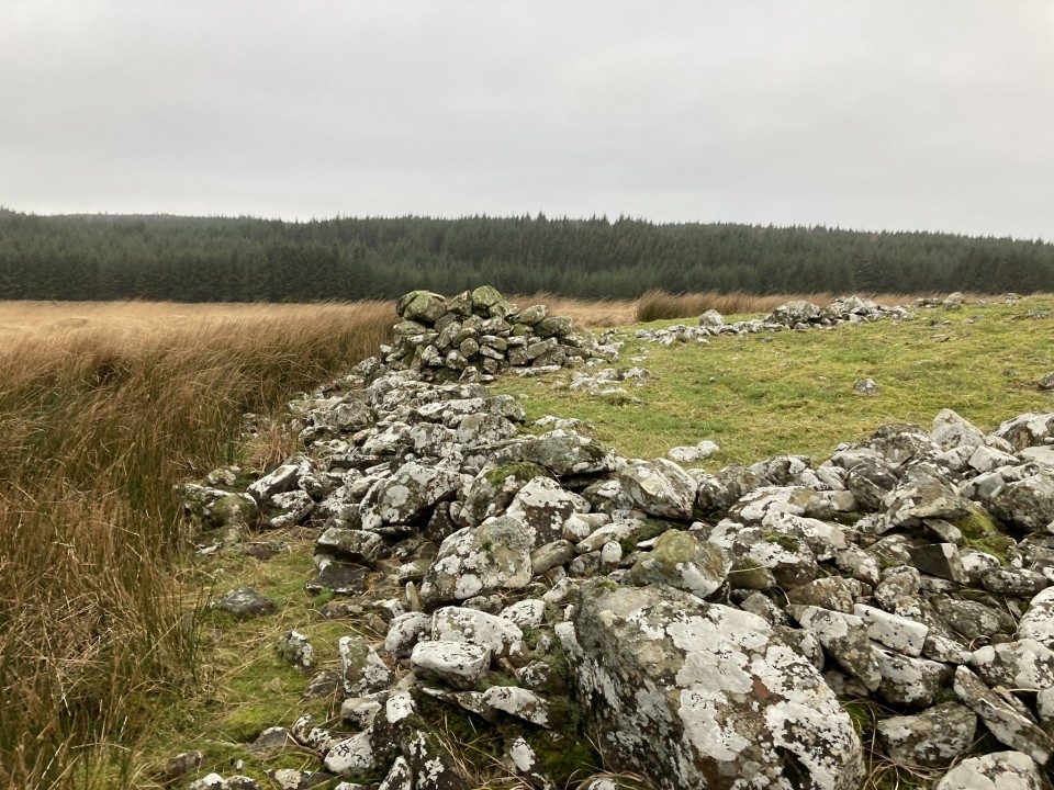
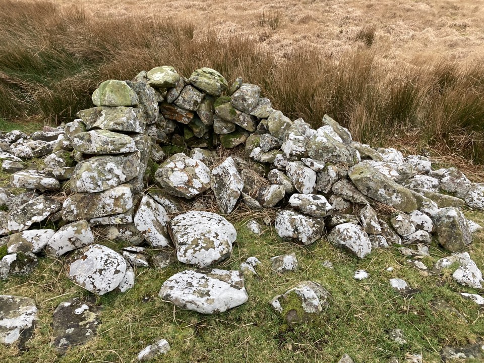
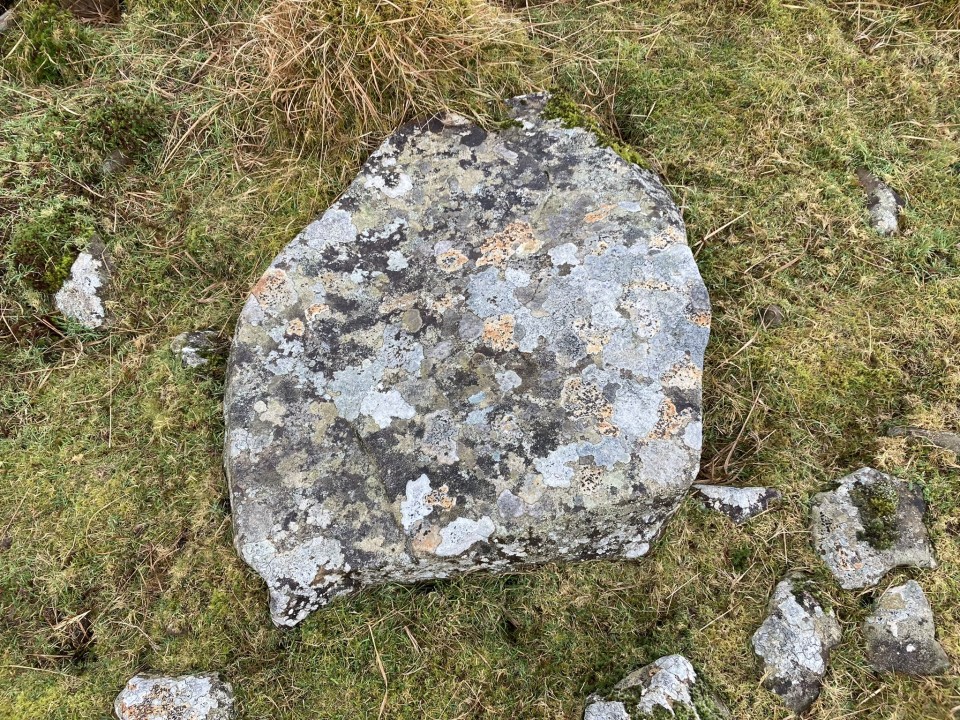
Canmore ID 61935 describes a large round cairn measuring c. 75 feet in diameter and 4 feet high. The grassy surface is studded with small stones. A modern shepherds cairn measuring c. 10 feet high has been erected in the centre of the mound. This may account for a hollow up to c. 1 foot deep in the N half. Additionally, there is a small stone structure built onto the S perimeter.
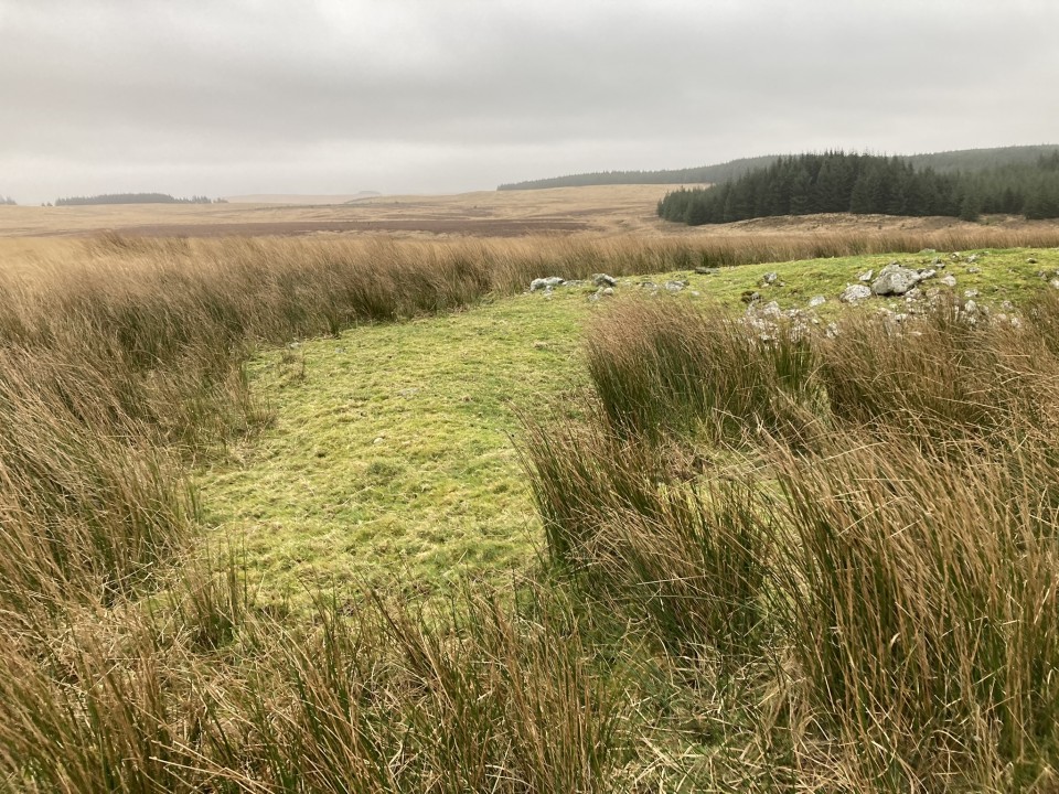
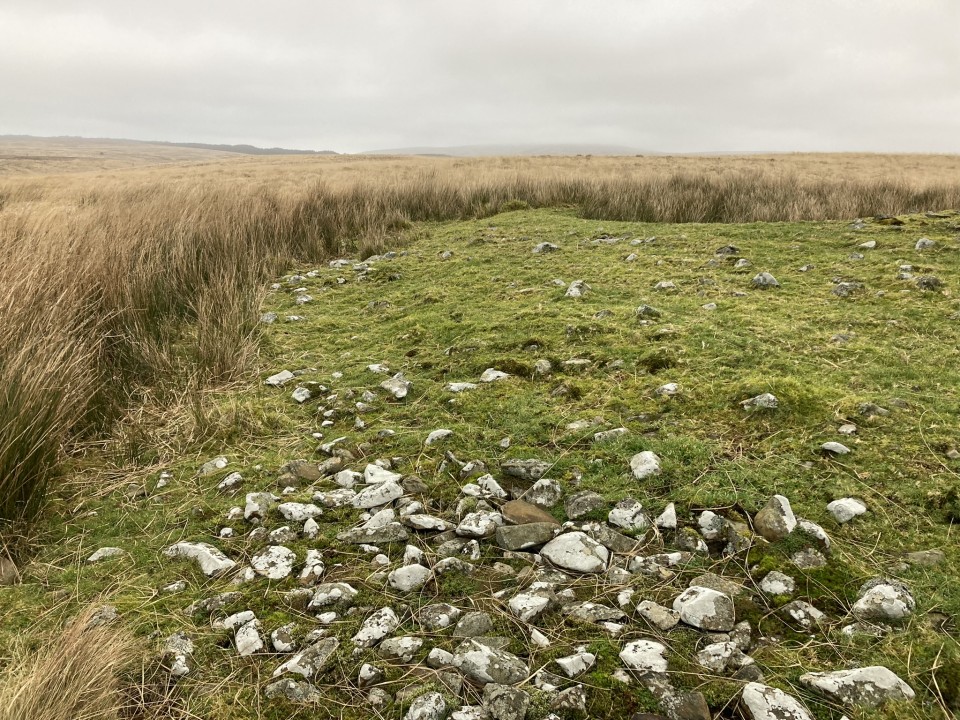
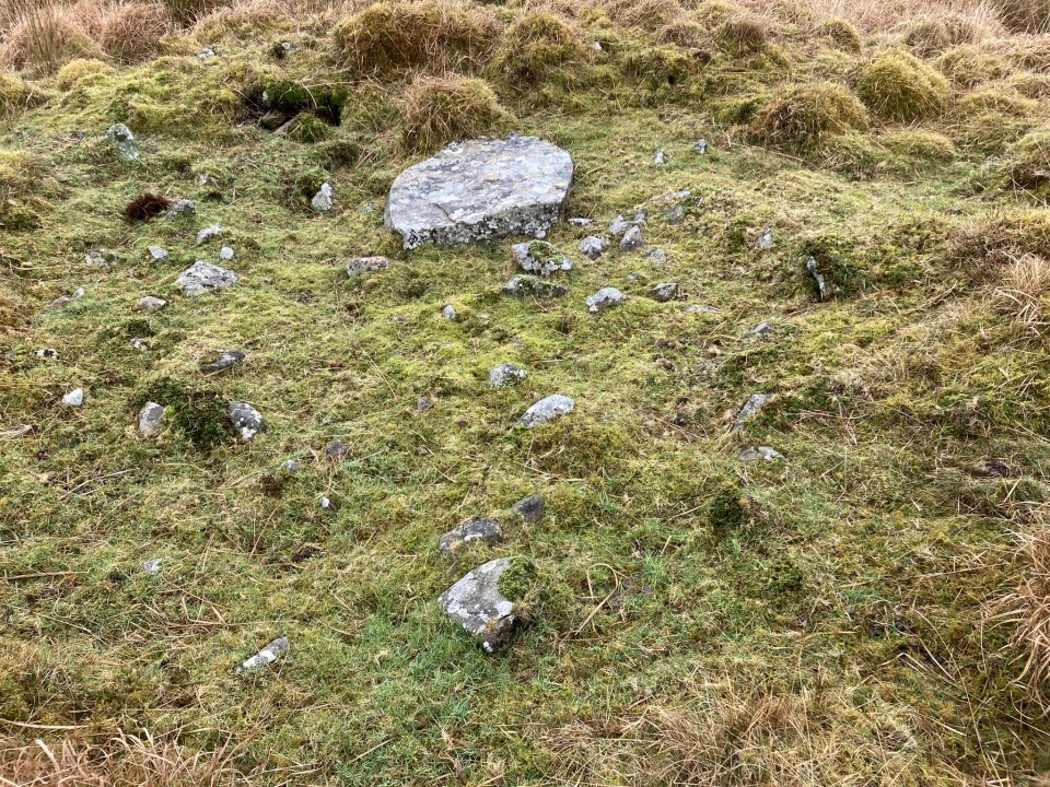
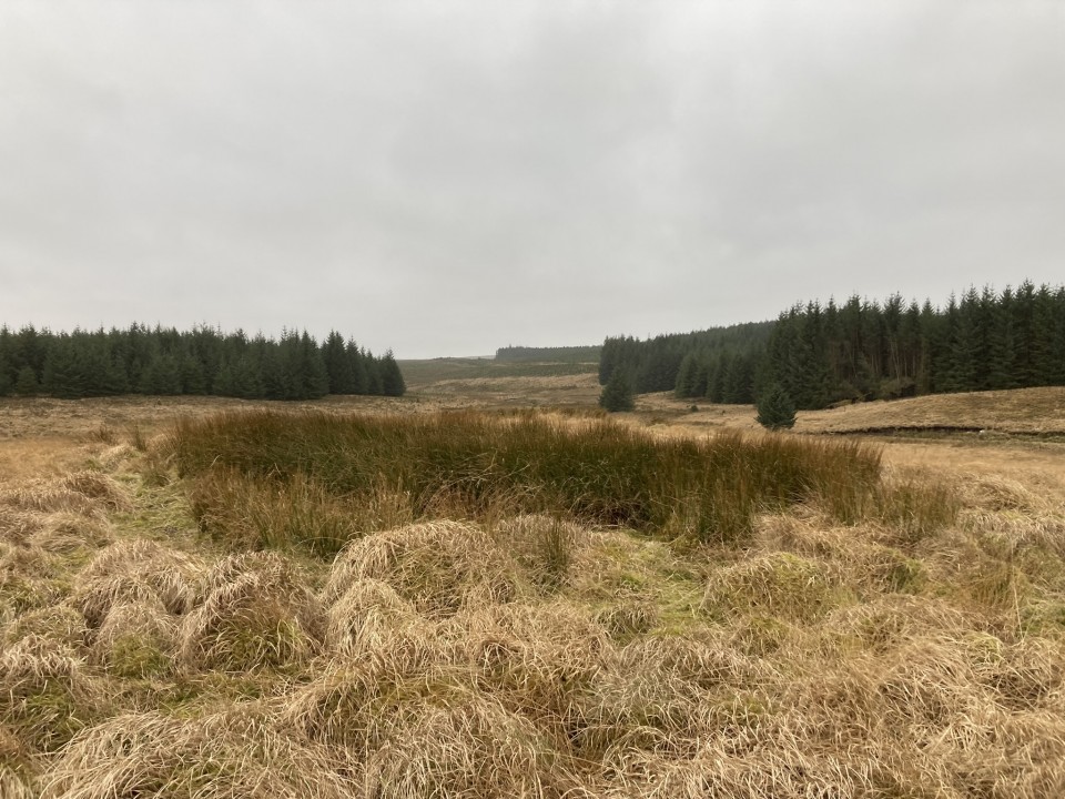
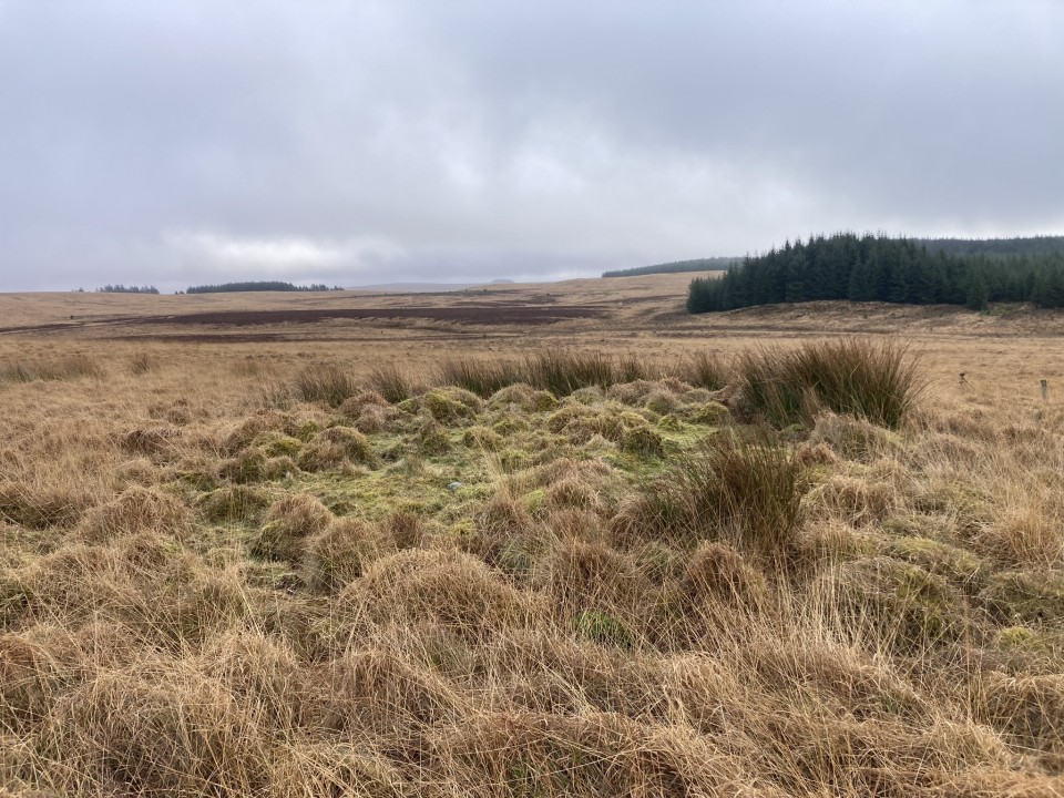
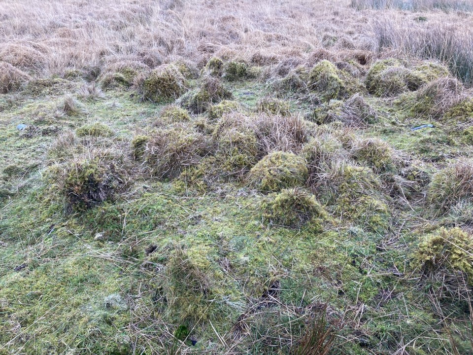
Canmore ID 61892 suggests that "a peat-covered mound measuring 7.5m in diameter and 0.5m in height", c. 50 yards S of Canmore ID 61935, "is probably a cairn". In situ, the rough tussocky green mound stands out in the brown moorland lending credence to its status.
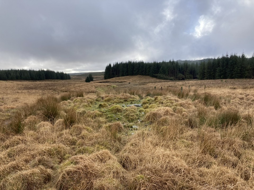
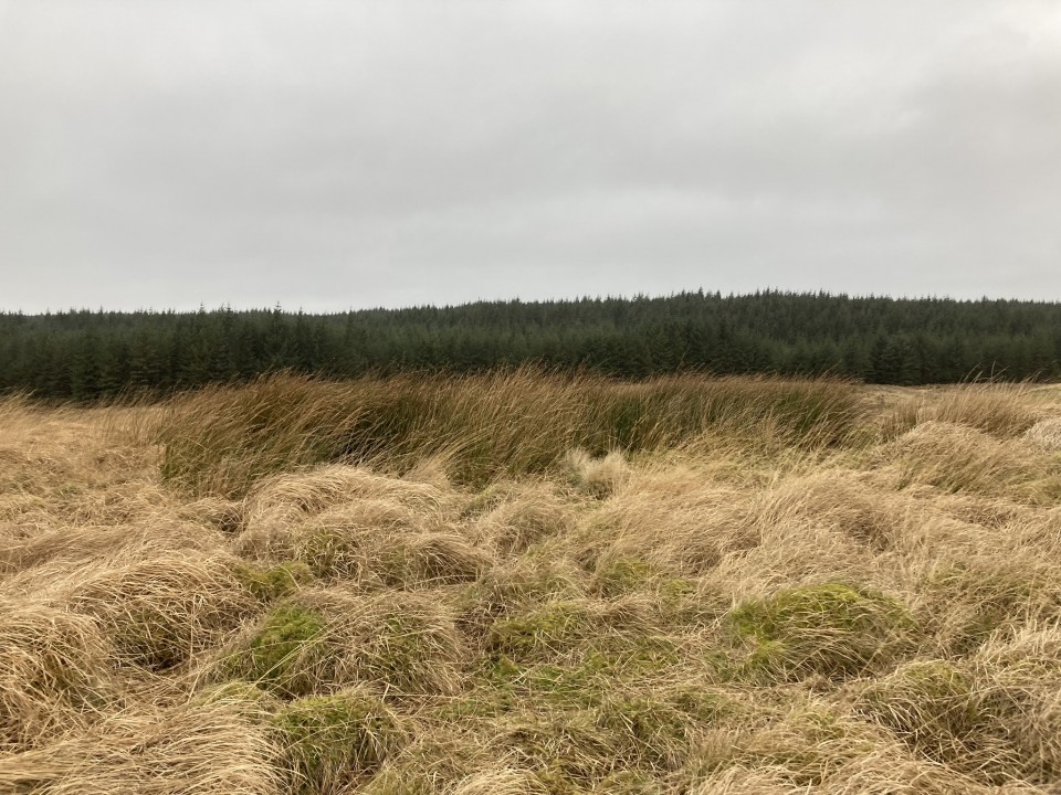
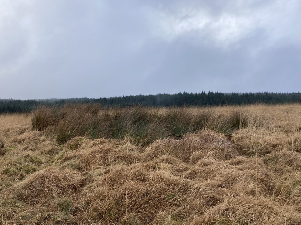
Canmore ID 61893 lies c. 175 yards S of Canmore ID 61935. The cairn is a sub-circular hollow of rushes measuring c. 24 feet across and 1 foot deep.
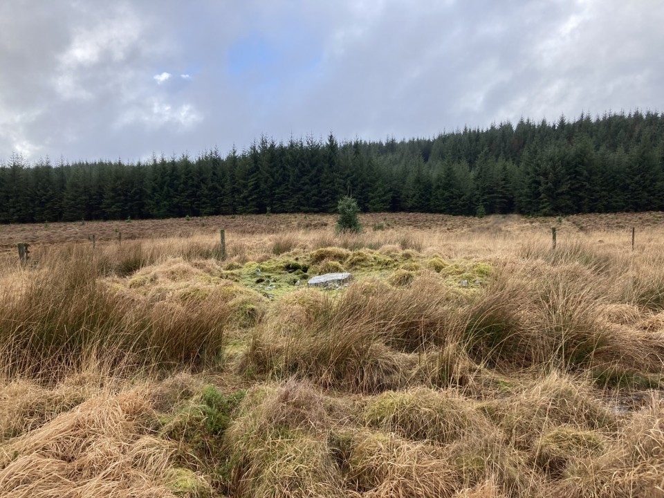
Canmore ID 61894 has details of a robbed round cairn c. 130 yards WSW of Canmore ID 61935. The mound, which measures c. 27 feet in diameter and 1.5 feet high, has a grassy central plateau. A large slab measuring c. 3x2x0.5 feet lies on the W arc, possibly a remnant of a destroyed cist.