The Modern Antiquarian. Stone Circles, Ancient Sites, Neolithic Monuments, Ancient Monuments, Prehistoric Sites, Megalithic MysteriesThe Modern Antiquarian


Altigoukie Burn Burnt Mound

Burnt Mound / Fulacht Fia

<b>Altigoukie Burn Burnt Mound</b>Posted by markj99Image © Mark Johnstone
Also known as:
  • Craigbirnoch

Nearest Town:Stranraer (13km SW)
OS Ref (GB):   NX1633368110 / Sheet: 82
Latitude:54° 58' 24.81" N
Longitude:   4° 52' 12.04" W

Added by markj99


Discussion Topics0 discussions
Start a topic


Show  |  Hide
Web searches for Altigoukie Burn Burnt Mound
Show map   (inline Google Map)

Images (click to view fullsize)

Add an image Add an image
<b>Altigoukie Burn Burnt Mound</b>Posted by markj99 <b>Altigoukie Burn Burnt Mound</b>Posted by markj99 <b>Altigoukie Burn Burnt Mound</b>Posted by markj99 <b>Altigoukie Burn Burnt Mound</b>Posted by markj99

Fieldnotes

Add fieldnotes Add fieldnotes
Visited 01.02.24

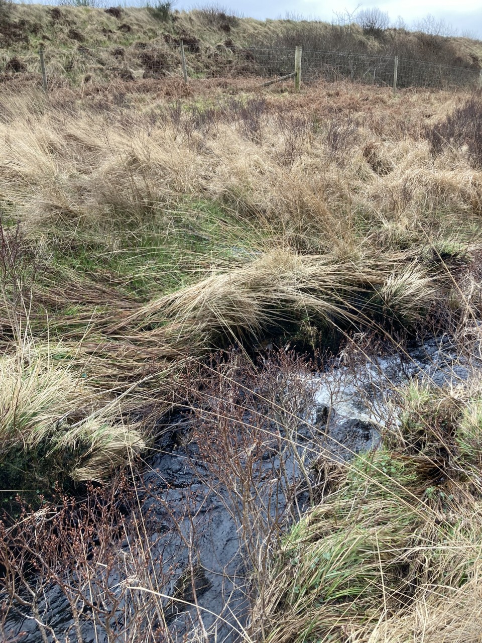
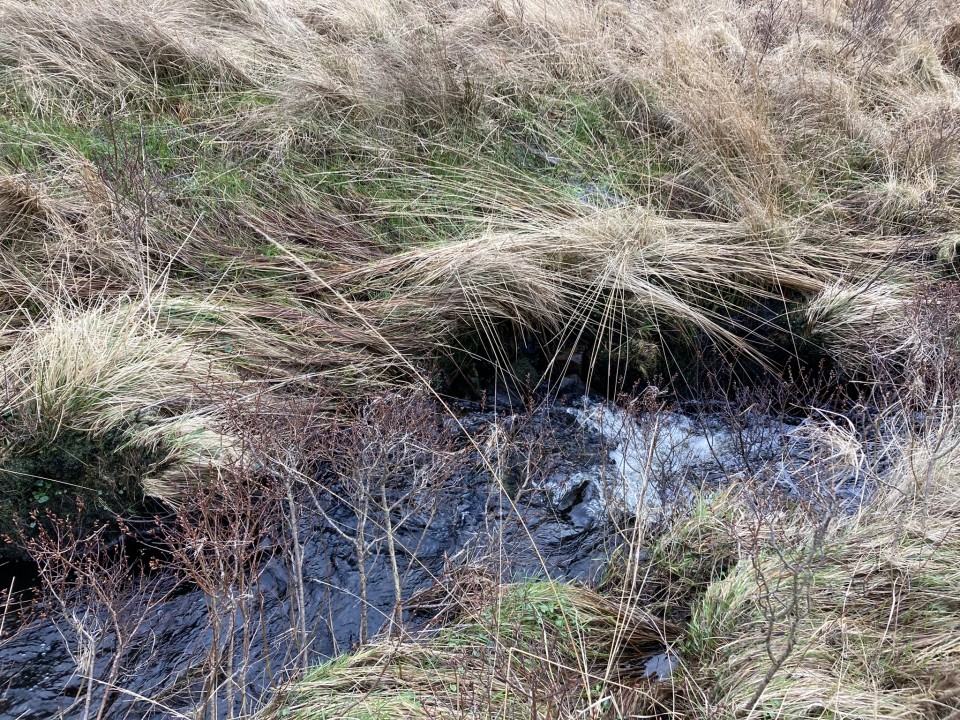
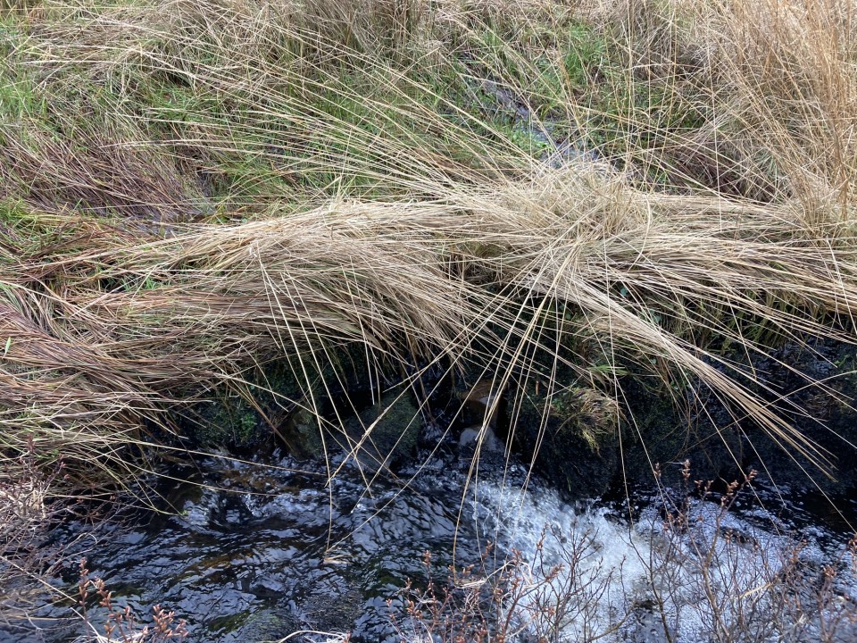
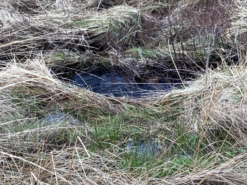
Altigoukie Burn Burnt Mound is located c. 2.5 miles NNW of New Luce in Dumfries and Galloway. It lies c. 50 yards NW of the Stranraer railway line, on the S bank of Altigoukie Burn. According to Canmore ID 61415 the burnt mound "measures 7m from E to W by 4.5m transversely and is up to 0.6m in height". The visible burnt stones noted in Canmore were obscured by vegetation on my visit.

Altigoukie Burn Cairn lies c. 110 yards NW of Altigoukie Burn Burnt Mound.
Posted by markj99
10th February 2024ce
Edited 10th February 2024ce