The Modern Antiquarian
Log in
|
Register
Home
Latest Posts
Forums
Maps
Help
Browse Sites
News
Blog
Contributors
The Books
Select
-
Belgium
Denmark
Eire
France
Germany
Greece
Italy
The Netherlands
Norway
Portugal
Republic of Malta
Spain
Sweden
Switzerland
United Kingdom
County Donegal
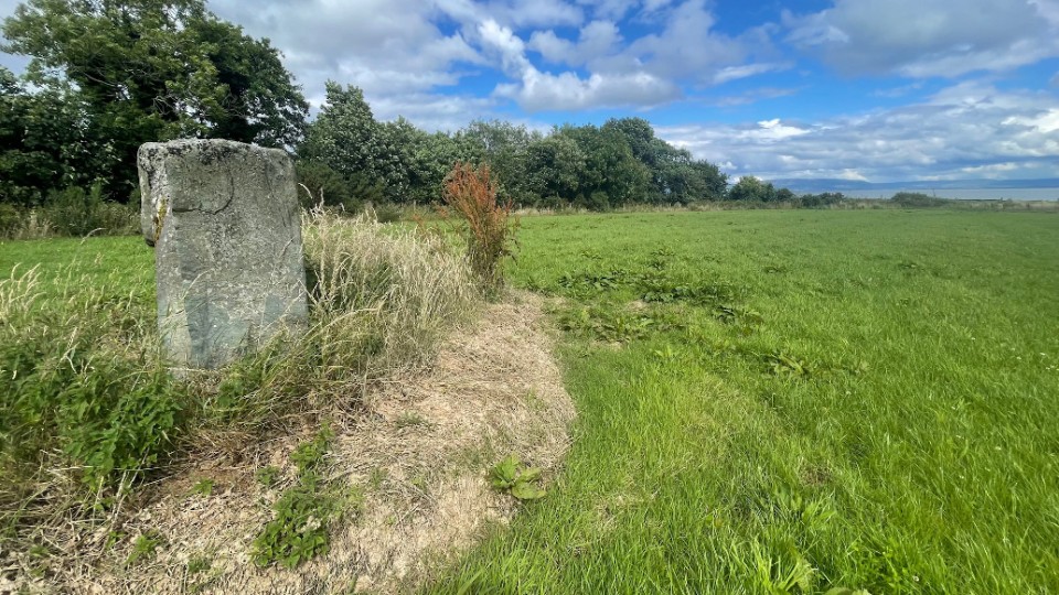
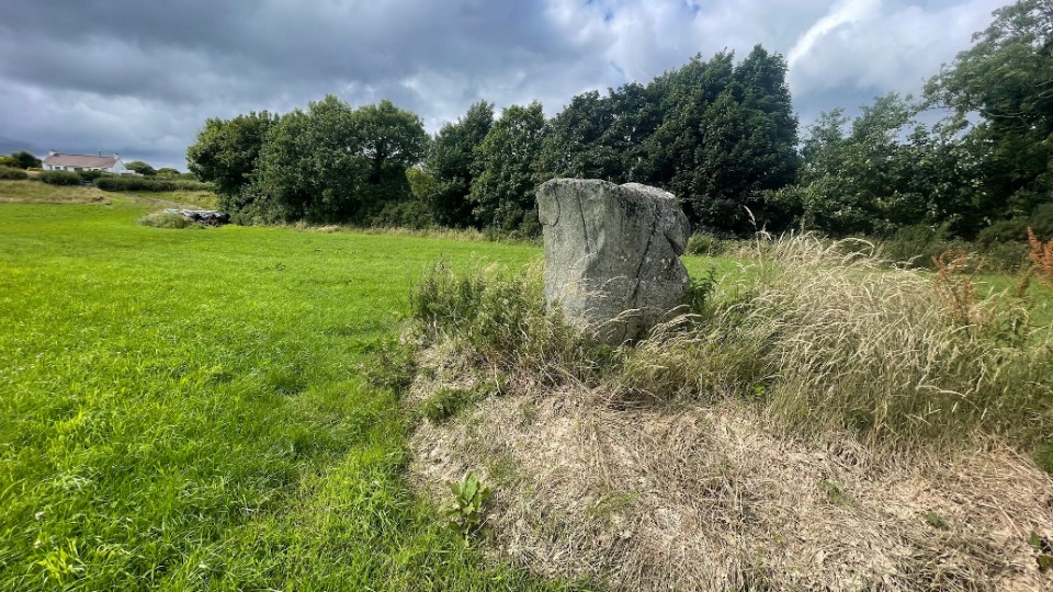
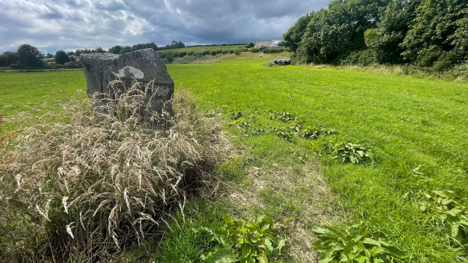
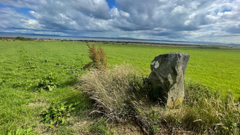
Cabry
Standing Stone / Menhir
Cabry (Standing Stone / Menhir) on The Modern Antiquarian, the UK & Ireland's most popular megalithic community website. 5 images, plus information on many more ancient sites nearby and across the UK & Ireland.
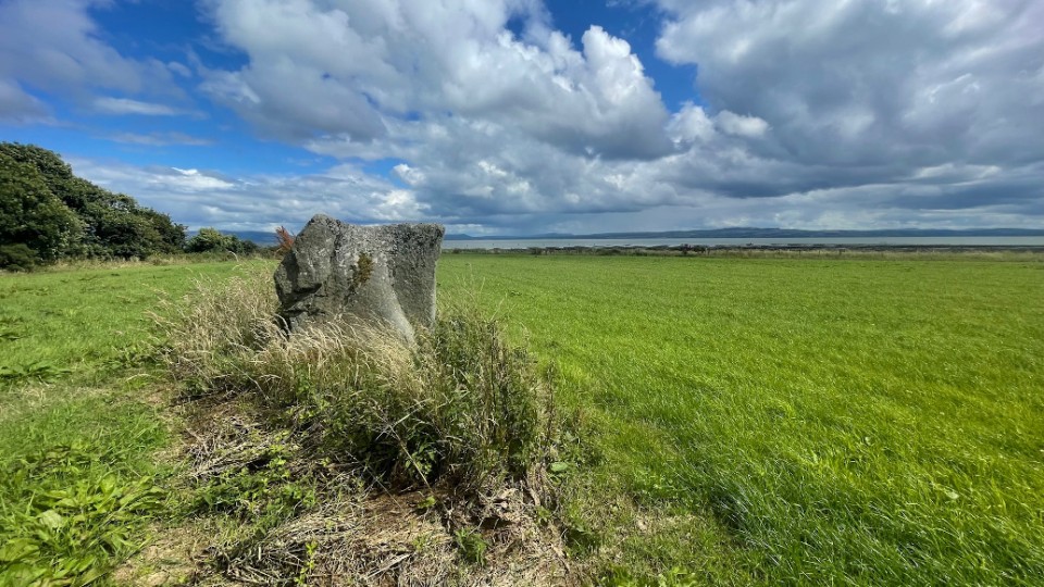
Image © ryaner
OS Ref (IE):
Latitude:
55° 8' 7.93" N
Longitude:
7° 10' 50.67" W
Added by
ryaner
Images (5)
0 discussions
Start a topic
Show |
Hide
Web searches for Cabry
Flickr
Google
Google Images
Bing
Stone Pages
Wikipedia
Show map
(inline Google Map)
- Sites within 20 km -
-
Ballyargus (3.2km NE) (1 post)
Tromaty (3.23km WSW) (3 posts)
Carrowmore or Glentogher (Dg. 26) (4.4km WNW) (0 posts)
Carrowmore or Glentogher (Dg. 25) (4.78km WNW) (10 posts)
Carrowmore or Glentogher (Dg. 24) (5.05km WNW) (4 posts)
Carrowmore or Glentogher (5.1km WNW) (2 posts)
Ardmore (7.71km SW) (11 posts)
Eskaheen (8.84km WSW) (13 posts)
Ballybrack (12.5km ENE) (1 post)
Meenkeeragh standing stone (12.73km WSW) (3 posts)
Meenkeeragh (12.82km WSW) (6 posts)
Ballybrack (13.18km ENE) (1 post)
Temple of Deen (14.67km N) (18 posts)
Bocan (15.28km N) (18 posts)
Ballymagaraghy (17.14km NE) (1 post)
Ballymagaraghy (17.22km NE) (0 posts)
Templemoyle (17.54km NNW) (12 posts)
Drumcarbit (17.81km NNW) (4 posts)
Straths Bridge (17.99km NW) (1 post)
Ballygroll Prehistoric Complex (18.68km SSE) (5 posts)
Rashenny (18.97km WNW) (6 posts)
Magheranaul (19.52km NW) (8 posts)
Magheranaul (19.53km NW) (1 post)
Magheranaul (19.61km NW) (8 posts)
Ervey (19.72km S) (7 posts)
Magheranaul (19.93km NW) (5 posts)
- Add -
-
Add news
Add an image
Add fieldnotes
Add folklore
Add miscellaneous
Add a link
-
Add a site
Add a nearby facility
Add an alternative name/spelling
Images
(click to view fullsize)
Add an image
 Image © ryaner