Directions to Cults Loch Crannogs: Take the New Luce turn off the A75 at the petrol station on the SE edge of Castle Kennedy. After c. 0.5 mile take the right turn signed for Nivens Yard. Follow this potholed gravel track for c. 75 yards to a gate on the left. There is room to park at the gate. Walk E through the gate for c. 350 yards to reach a gate into a field on the left. Follow a track NE towards Cults Loch. The Central Crannog can be viewed from the W bank of the loch. The NW Crannog is located on a circular promontory in the NW corner of the loch. My route is viewable on Cults Loch Crannogs. On a cautionary note, there are often beef cattle in the field beside Cults Loch.
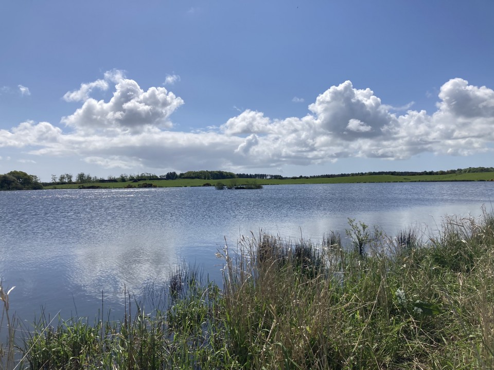
There is a submerged crannog in the centre of Cults Loch, c. 1 mile NE of Castle Kennedy in Dumfries and Galloway. An additional crannog site can be found in the NW corner of Cults Loch.
Cults Loch Central Crannog is visible as a scrubby island c. 100 yards off the W bank of Cults Loch. According to Canmore ID 61693, the island "measures about 7.5m from N to S by 5.1m transversely." An underwater archaeological survey in 2002 estimated the dimensions of the submerged crannog to be 19.5m N-S by 17m transversely, rising 2.5m above the loch bed.
Cults Loch NW Crannog was located on a sub circular promontory, projecting c. 50 yards into the NW corner of Cults Loch at NX 1203 6058. Archaeological excavations carried out between 2007 and 2010 established that the promontory was man-made. Traces of a ditch and wooden palisade defensive structure were found at the neck of the promontory. The excavation of the interior yielded evidence of multi-phase occupation. Canmore ID 276231 has further detail of the archaelogical excavations of Cults Loch NW Crannog. The present waterlogged condition of the site on the N margin of the loch precluded me from making any investigation of the promontory.