The A5 Great Northern Road to Derry becomes Beltany Road north of Omagh town. It bends to the east just south of Mountjoy village, which it bypasses, and almost follows the contours of the Shrule river valley, before straightening out once again, this time practically hugging the Shrule having passed the Ulster-American Folk Park. Two kilometres north of the park there is a chambered grave marked on the OS map, west of the road.
It's not an easily accessible site. The A5 is a busy and fast road. Though it’s only 150 metres away from the road, over a gate and up a pasture field, I’d never seen nor heard of it anywhere else other than on the NISMR and it’s easy to see why. I’ve passed it maybe twenty times and never given it a second thought. And now, having visited it, I discover there’s a fairly intact wedge tomb not 100 metres to its north-west, incorporated into a field boundary. Ah well, the perils and joys of stone-hunting.
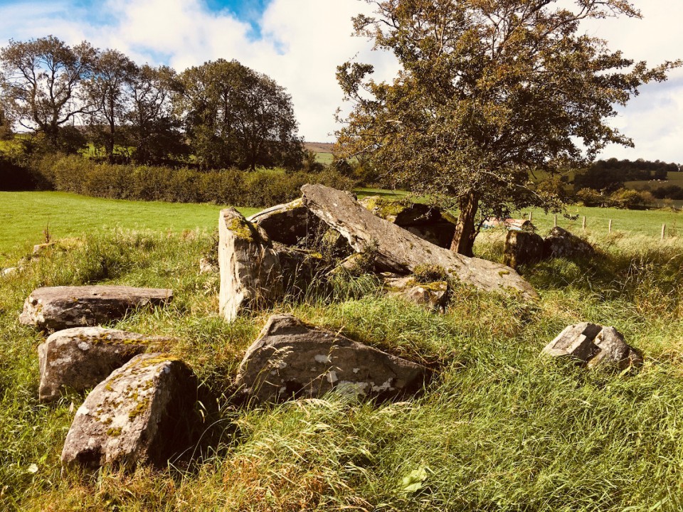
There is much to see here, even if the gallery is terribly ruined. Like a lot of Tyrone sites, much of the surrounding cairn remains, its frontal revetments in evidence. Or maybe I’m mistaken – I would have thought that the floor of the court and gallery would be level with the surrounding field, but no, like at Loughmacrory 16 kilometres or so to the east, both are raised about a metre above. Slightly puzzling, a trait I’ve found at many Tyrone sites.
There is very little of the court remaining, three stones on its east side. The gallery is smashed and the roofstones broken up and flung about. Some of the chamber sidestones are still there and some have been removed, conjuring up imaginings of the looters using measuring equipment to pick the choicest examples. There is one lintel/roofstone still in situ over the jambstones dividing the first and second chambers of the gallery. It gives the place some small bit of character.
I didn’t hang around – this was one of the first sites in a busy itinerary – but experienced enough to remain impressed. Set on a ridge of above the Shrule valley, the views east into the southern Sperrins were gorgeous in the September sunshine. It's aligned roughly north-south, with the entrance at the south. The valley side continues to rise to the west up to the peak of Bessy Bell with its summit cairn, said to be a possible court tomb, at 450 metres. Another site for another day, and maybe that elusive wedge tomb too.


 Posted by ryaner