|
|

|
|
BadenstedtChambered Tomb
|
||||||||||||||||||
|
|
|
Images (click to view fullsize) |
|
Photographs: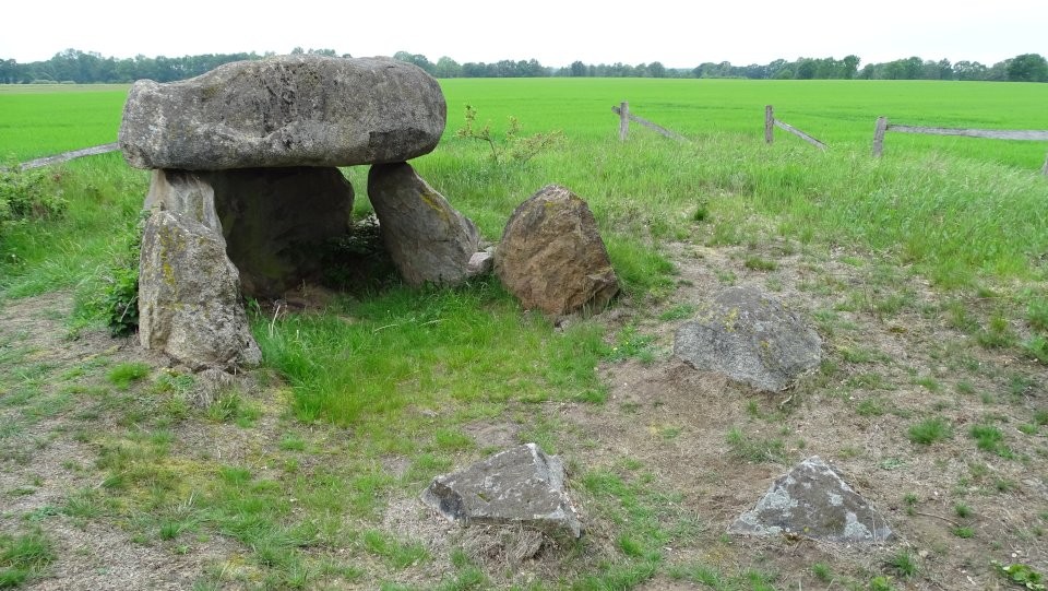
 Maps / Plans / Diagrams:
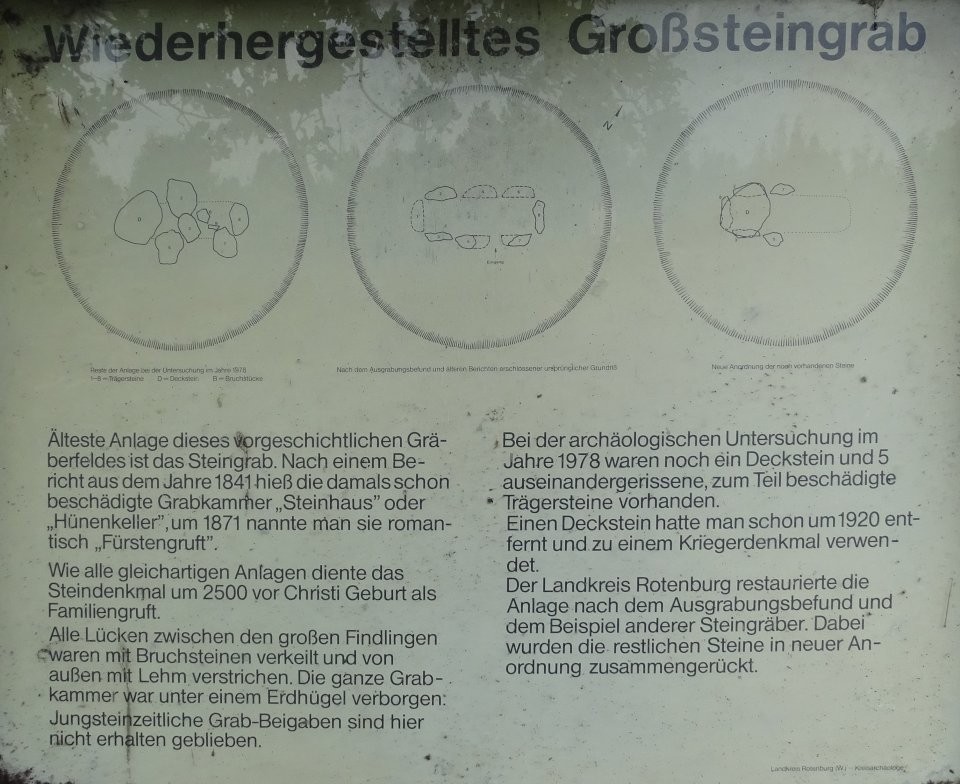
|
Fieldnotes |
|
|
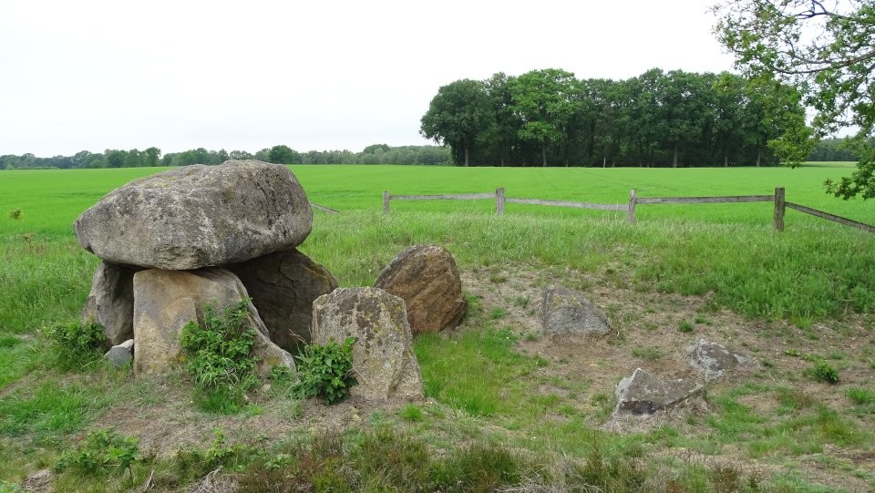
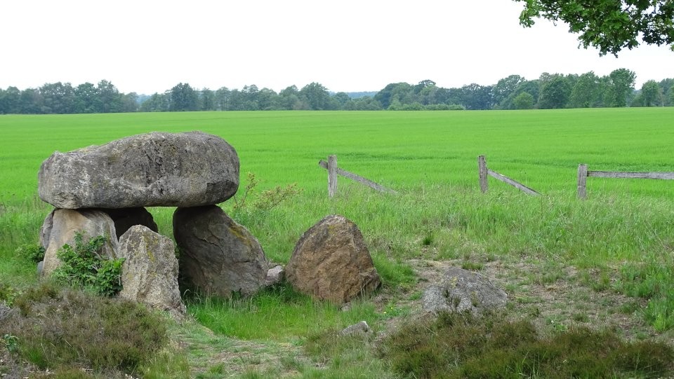
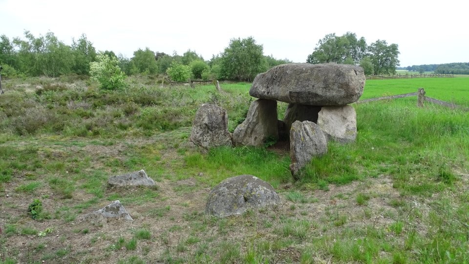
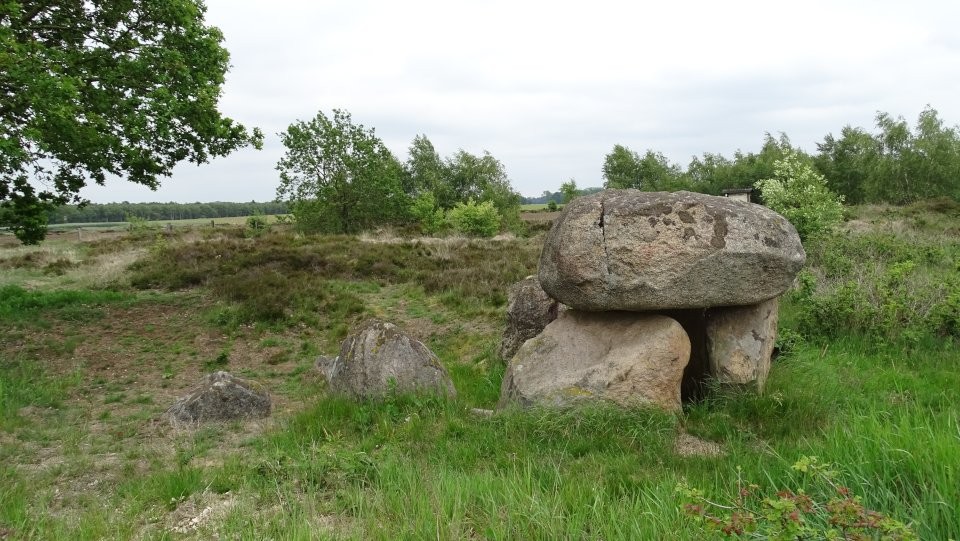
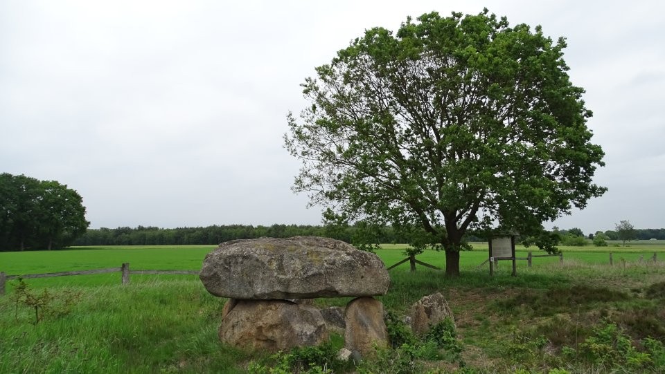
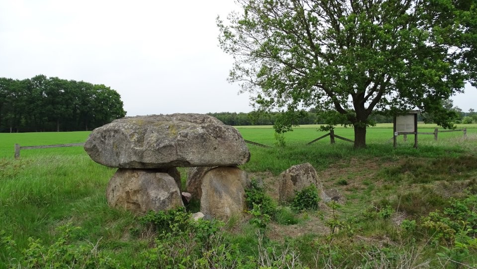
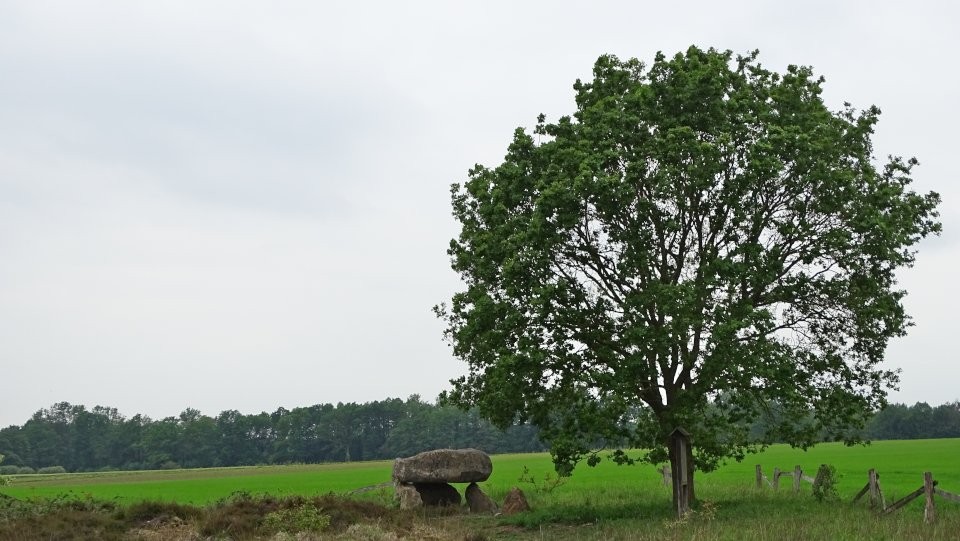
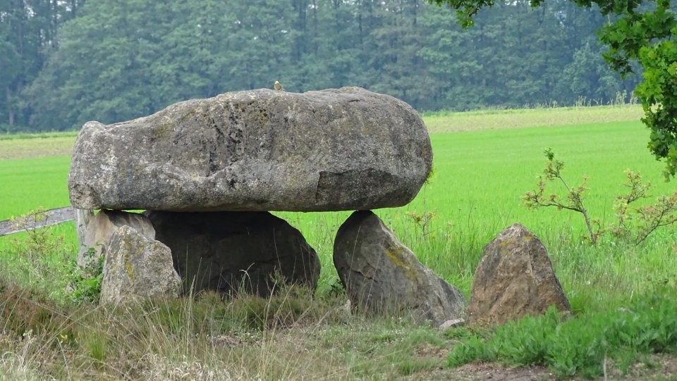
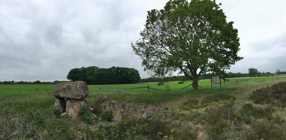
In the Steinalkenheide south of Badenstedt is a Bronze Age burial mound field with about 70 burial mounds, at the northern edge lies the heavily destroyed megalithic tomb Badenstedt (also known as Fürstengruft, Steinhaus or Hünenkeller). The site is oriented northeast-southwest and was already heavily destroyed in Sprockhoff's recording in 1930. Six stones, including a capstone, were still present, but gave little information about the structure of the site. A capstone was removed in 1920 and used for a war memorial. The last official excavation in 1973 found that the grave had already been ransacked deeply, so that its original dimensions were difficult to estimate. It is believed that the chamber was 5.3 meters long and consisted of eight support stones and four capstones. At the time of the excavation were still 5 support stone and a capstone available. To make the tomb look more dignified, these stones were moved together and the capstone was put back on top. That means today's condition does not reflect the original structure. Nevertheless due to the atmosphere and surrounding a nice site to visit! The tomb can be reached via the Badenstedter Straße between Badenstedt and Oldendorf. Turn right (south) into the road Zum Mühlenberg when you enter the village Oldendorf. After 600 m you come to a T-crossing, turn right here and drive on this road for about 2.5 km until you reach the Steinkalkheide and see the tomb on the right side. Visited May 2019 |
16th June 2019ce Edited 16th June 2019ce |
|
taken from the on-site information board: Restored megalithic tomb The oldest structure of this prehistoric burial ground is this stone grave. According to a report from 1841, the then already damaged burial chamber was called "Steinhaus" or "Hünenkeller", around 1871 it was romantically called "Fürstenruft". Like all similar sites, the stone monument was used as a family crypt around 2500 before Christ birth. All the gaps between the large boulders were wedged with rubble and leaked from the outside with clay. The whole burial chamber was hidden under a mound of earth. Neolithic burial objects have not survived here. In the archaeological investigation in 1978, a capstone and 5 apart, partially damaged supporting stones were still present. A capstone was already removed in 1920 and used as a war memorial. The district of Rotenburg restored the site according to the excavation findings and the example of other stone tombs. The remaining stones were brought together in a new arrangement. |
14th June 2019ce Edited 14th June 2019ce |