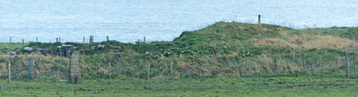
The first time I went I came south from the Gloup via a group of minor earthworks only to be stopped by a field fence. Next time I walked the Sandside road and a track runs across the field to the promontory. Owing to its hazardous nature this is blocked by a fence. As I stepped over I saw my foot going below the level of the other, and having short legs and being alone I might get stuck for many hours. But a high-zoom camera worked wonders,
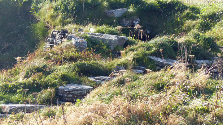
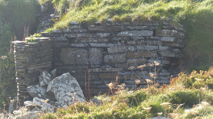
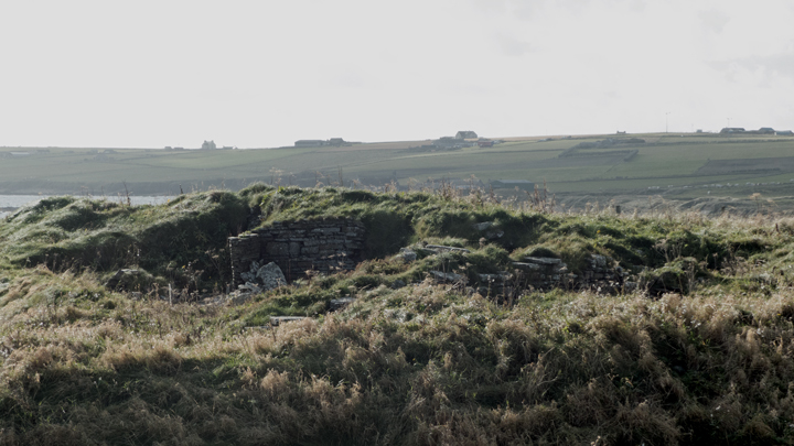
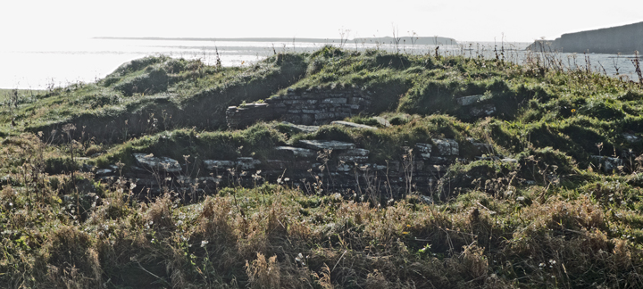
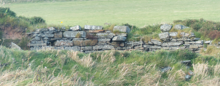
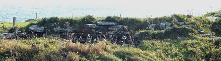
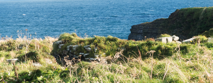
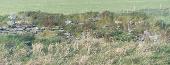
NMRS record no HY50NE. An excavation, cut short by the death of the director in 1982 , revealed on the N side a regularly curving segment of ground-galleried broch-type wall 13'6" thick which he thought could be a structure of the hypothesised 'semibroch' type adduced along the west coast of the Scottish mainland and in the Western Isles. Others suggesrted it might be a 'forework' or 'blockhouse' fort. In 2002 Euan Mackie suggested from plans of 1984 and and 1987 observations that inserted into a ground-galleried broch had been "a proper wheelhouse of Shetland type (with built radial piers)" otherwise only found in Shetland at that time. As well as the wall and traces of domestic structures on the promontory itself there are almost a hectare of dark midden deposits on the W side. Though the promontory isn't connected to the steep-sided Stack of Mustack/Moustag (HY50NE 28 HY59260743) it is likely it once was, with the suggestion that this was part of the Iron Age complex - two or three orthostats protrude from a low ~19mD mound at the far end.