04/11/2023 - After sunset visit to Geallaig Hill. This a fine hill with a good loop from Glen Gairn. We reached the top at pretty much sunset. Misty and a cold wind. We sat by the cairn, had our tea and waited for the dark. A few stars on the way back down but the mist and clouds didn't clear much. It was a chilly visit but just what we needed.
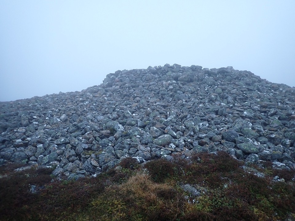
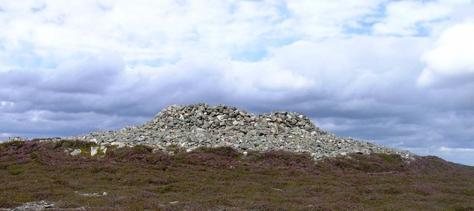
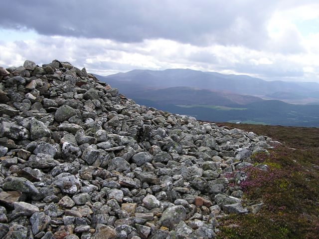
The nice cairn on the top of Geallaig Hill. I'd forgotten how big the footprint was. Looks prehistory to me. There's over 14 hut circles and a field system at the bottom of the hill. Could the people who lived there have built this cairn back in the Bronze age?
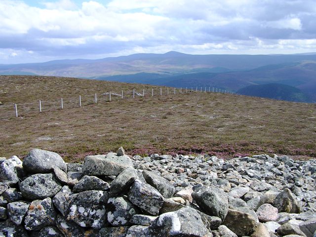
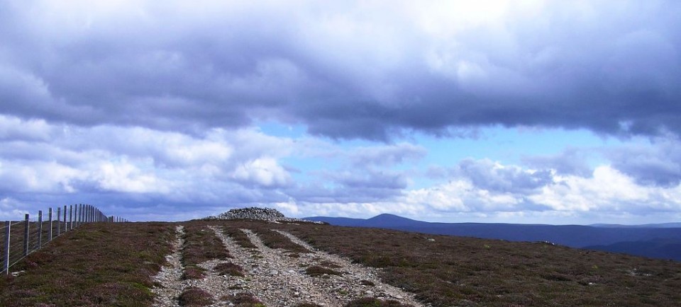
After visiting a few more ruinous hut circles at the Strone I headed back to were I had parked at Braenaloin. Nearby there is a gate and track heading south east. It is a decent track with only one or two steepish bits but on the whole nothing difficult. It also helped that I had a cracking day.
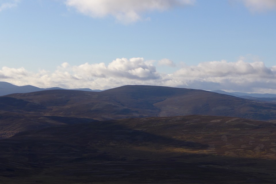
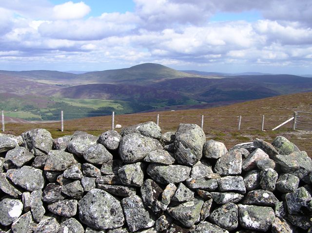
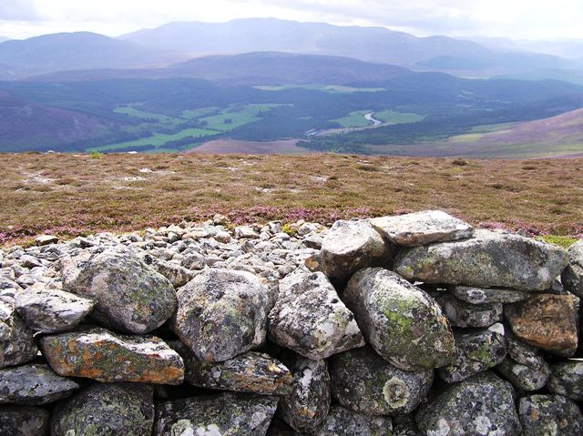
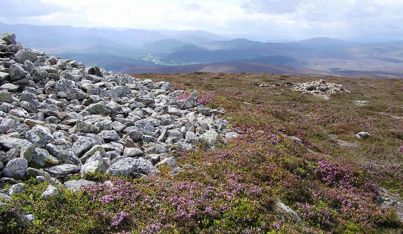
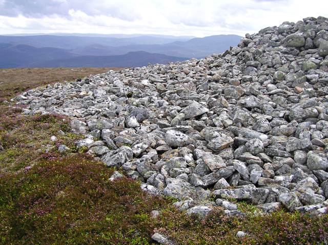
To the north Glen Gairn and to the north east stunning views of Morven which would get even better at the end of the climb. The cairn is on a flat plateau as the track takes a sharp turn east. From here the views and colours of Aberdeenshire are beautiful. As well as the late summer colours Morven, Bennachie, Kerloch, Clachnaben and Lochnagar can all be seen. At the bottom of the valley the River Dee glistens as it heads from Braemar to the North Sea at Aberdeen.
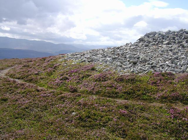
The cairn itself is massive like the cairns at Pittenderrich, Deecastle, Kerloch, Pressendye etc and had been missed by Canmore until Thelonius came across the site and Neil K (a keen hillwalker) wondered what it was. So I decided to have a look as well.
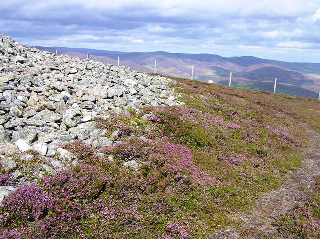
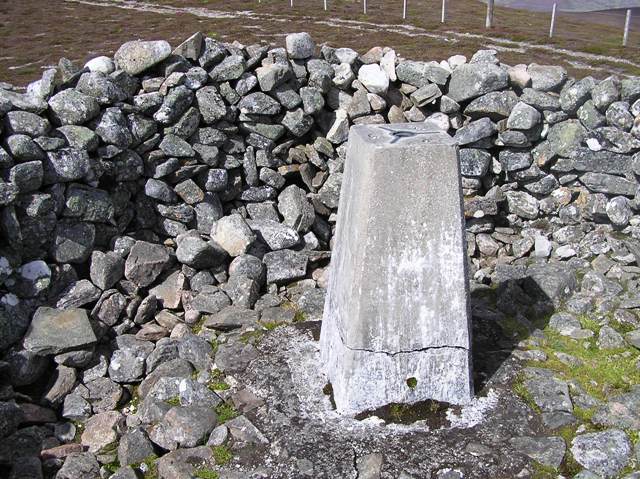
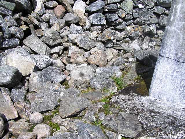
It sits at well over 20m wide, stones that are visible, on top of a heather covered footprint a further 1 to 2m wide all round. Sitting at 2m high a windbreak has been made (this adds another 1.5m in height to the sites appearance) which surrounds the trig point. This has been built on top of a concrete base. However this has been built on top the cairn rather than on to the ground. Also interestingly kerbs appear at regular intervals round the site.
A stunning place with stunning views, totally worthwhile and a must visit if in the area. Best of all, a team effort :-)


 Posted by thelonious