After an unexpected email / phone call I was kindly invited to take a closer look at the cairn on Bervie Brow, gaining access onto the site. Previously high fences blocked the way as the cairn was in a military site, records show it was built in the 1930s remaining in use until 1985. Luckily there is a new owner. Luck was also on my side as the weather conditions were much improved than my last visit.
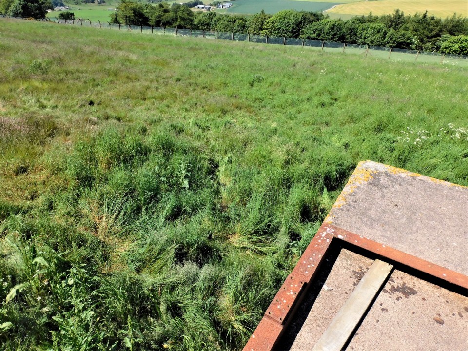
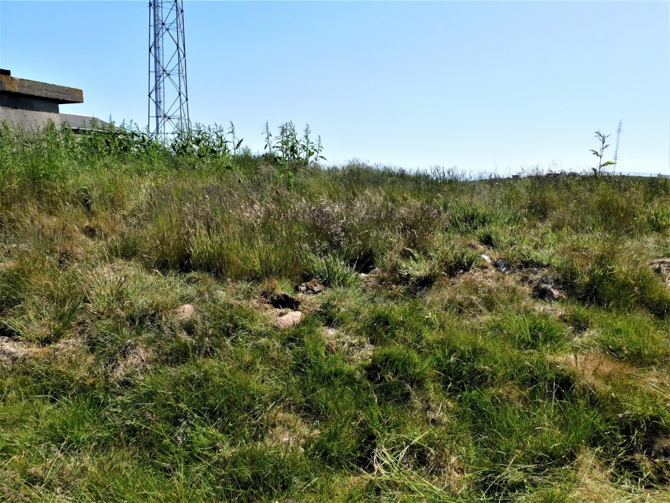
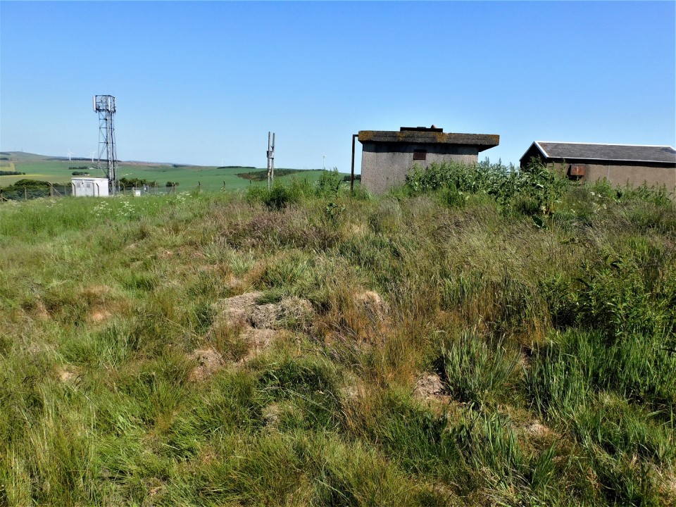
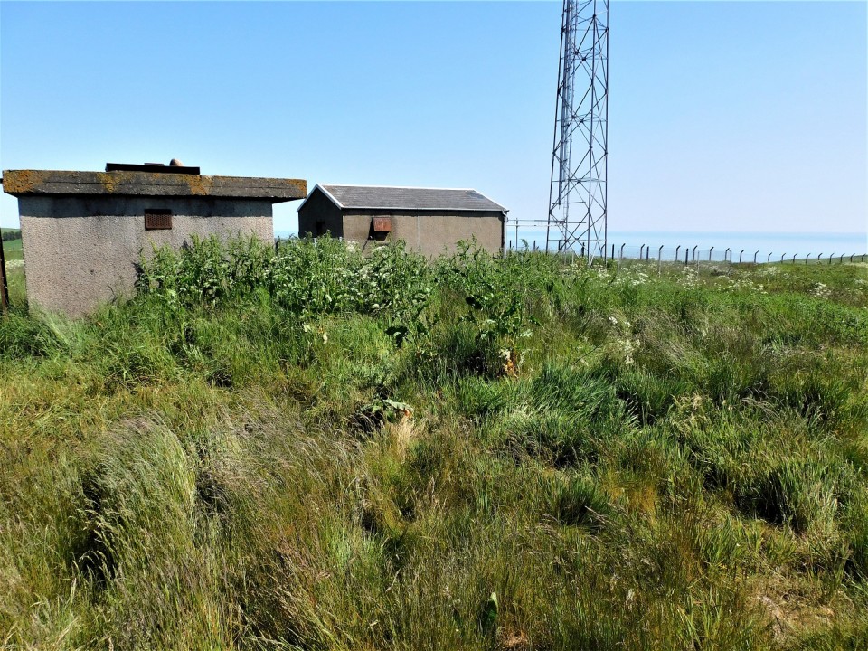
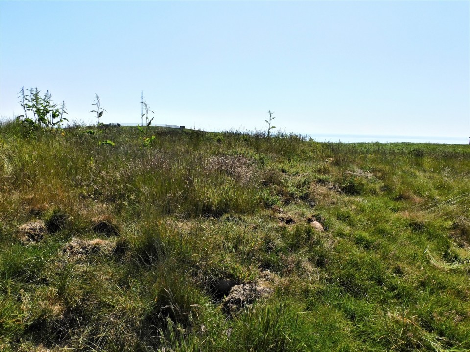
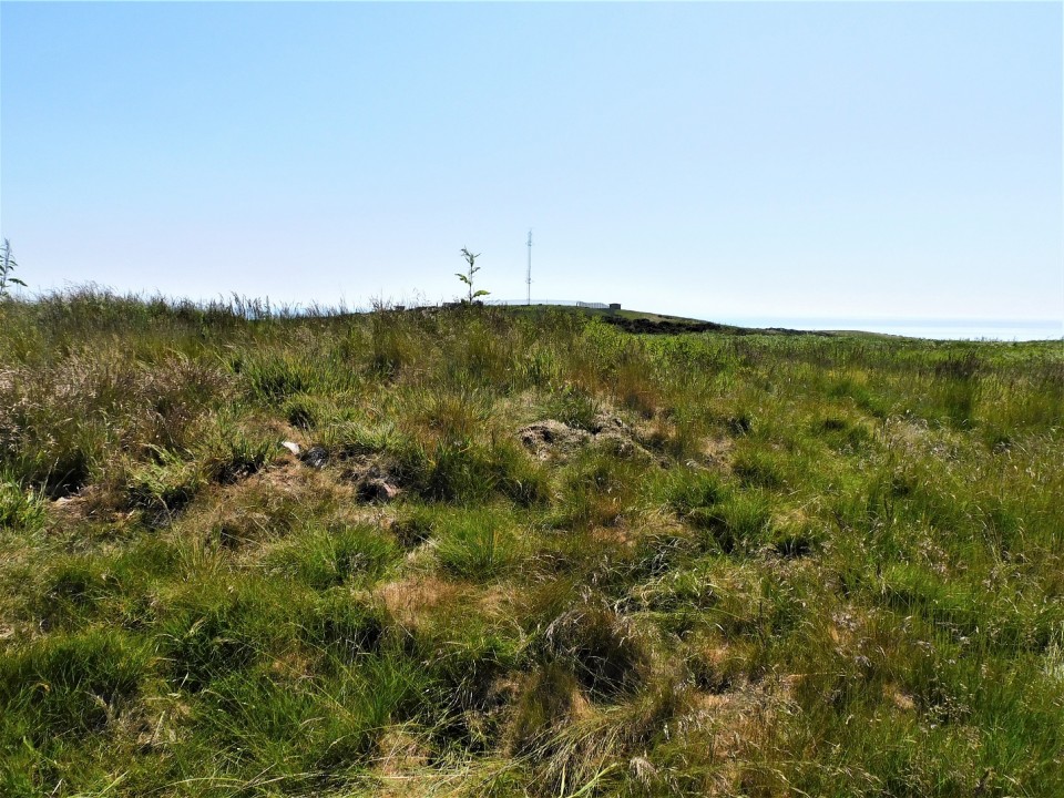
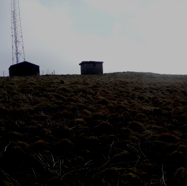
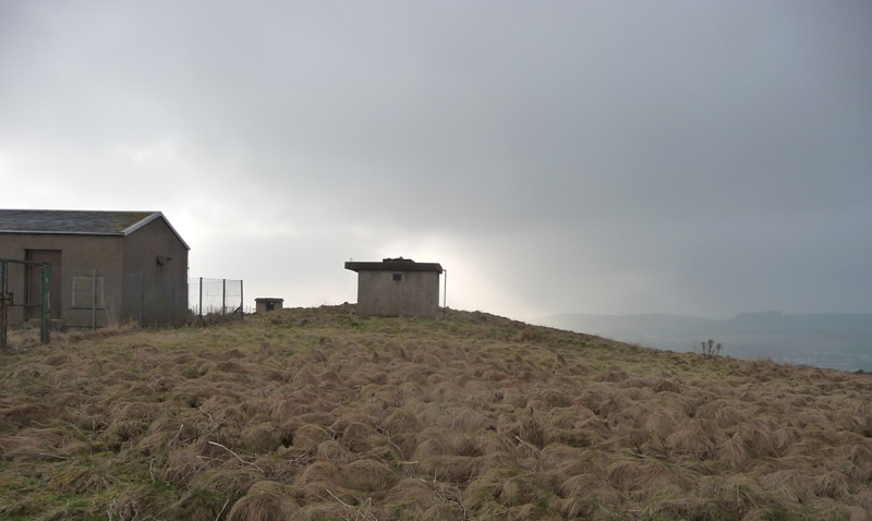
It still survives at approximately 16m wide and 1m high, there appears to be a decent footprint, plenty of cairn material underneath the vegetation. As usual the centre has been 'houked'. There also appears to be a hint of a kerb on the east. What a pity a concrete shelter clips the north side of the site.
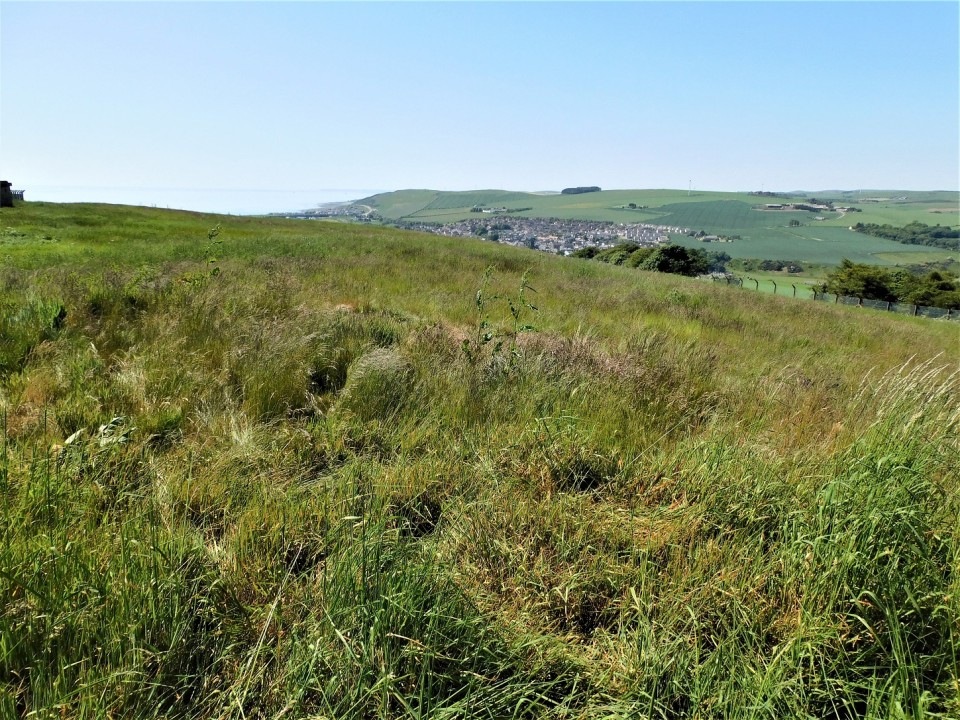
Climbing onto the concrete shelter also gives superb views to Middle Know (fort) and Gourdon Hill (Long Cairn) to the south, to the west cairns, forts, RSCs standing stones etc etc etc, to north the coastline heads to Aberdeen and to the east, the North Sea.
However, the cairn might be in for a major change as it might be about to get a tidy up and perhaps some excavation work might happen.
Just before the bridge nearing Inverbervie on the A92, coast road, and before its junction with B967 take the minor road heading back north east. This climbs the locally known Bervie Brow. I parked at the West View cottage at the track which heads up the brae.
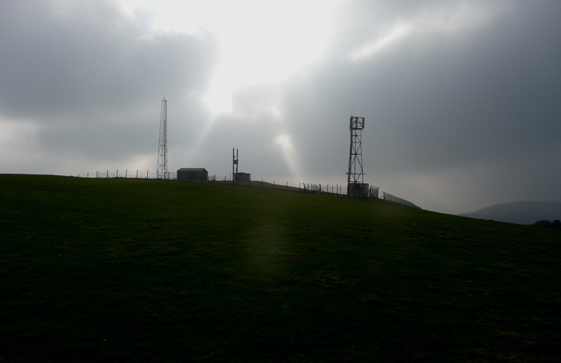
This isn't a very steep climb up a decent track which is still used to get vans up to various masts. These masts are surrounded in high fences and various buildings suggest that this was once probably an RAF or Navy look out post. There is certainly a more modern building suggests shipping. Interestingly the house at the end of the track is called The Guard Room. Once at the top of the hill be prepared for a shock to the system on a late January morning, I was met with driving winds and snow.
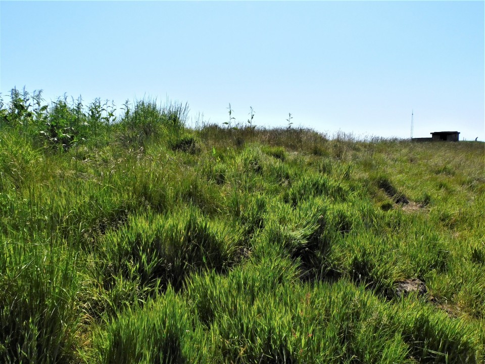
Sadly the cairn looks like it's being kept prisoner nearest the furthest east of the masts. It has been clipped by an out building and looks like it has been houked. Still it seems to keep its shape being 16m wide and almost 1m tall. Impossible to tell if stonework remains as visitors aren't allowed. Still on a sunny day, despite the masts, this would be a beautiful place looking on to the North Sea, down to Inverbervie and the Bervie Water. In fact decent views would be seen looking north and south along the Aberdeenshire coast.
"Bervie Brow," so called, is a promontory on the north side of the Bervie stream, and its very existence seems to bar any extension of the railway to the north. Another name of the "Brow" is "Craig Davie," based on the tradition that King David II landed here from France under shipwreck. This King turned the hamlet into a Royal Burgh in virtue of a charter granted in 1362, which charter again was renewed by James VI in 1595. In connection with the King David Charter a rather curious story may be related. The Royal patronage, it is said, was given on account of the kindness the inhabitants extended to the ruling monarch when his vessel struck the rocks referred to above. The tradition is that the King on reaching "terra firma" met a party of fishermen, who were cooking fish on the beach. On soliciting a share of their repast, one of the fishermen gutted a couple of fishes and put these on the fire. Another fisherman shouted out "Gut three." The King noticing this generosity addressed the former speaker in doggerel rhyme thus:
"Then Gut-three
Your name shall be."
And henceforth, it is said, the man was known as "Guthrie", a surnamme now quite common all over N.E. Scotland.


 Posted by Rhiannon