Directions:
North of the A836 – near the Dounreay nuclear power station.
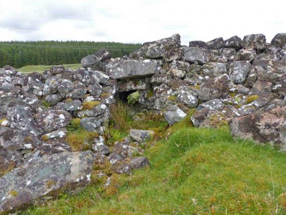
The ruined broch is clearly visible from the A836 as a very large grass covered mound in a flat field. The mound is directly under overhead power cables.
Due to time constraints and the close proximity of the power station (not sure what the security situation is like?) I chose to observe from the road. To be honest I don’t think there would be much to gain by a closer look anyway.
CANMORE states:
Notes NC96 5 KNOCK URRAY NC/98438 6630
Possible broch in Reay, Caithness, consisting of a grassy mound some 26.54m (87ft) in diameter and 3.05m (10ft) high and with a flat top 16.47m (54ft) in diameter on which may be a ruined broch. However no wallfaces are visible.
Sources: 1. NMRS site no. NC96NE 16: 2. RCAHMS 1911a, 94, no. 349.
E W MacKie 2007