Two cairns at the southern end of the Cefn Mawr ridge, to the east of the Gwys Fach and (in the case of the northern cairn) intervisible with Llorfa menhir. Coflein descriptions:
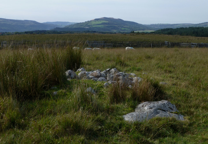
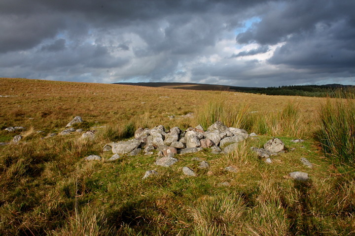
Cwm Fforch-wen (SN78861400)
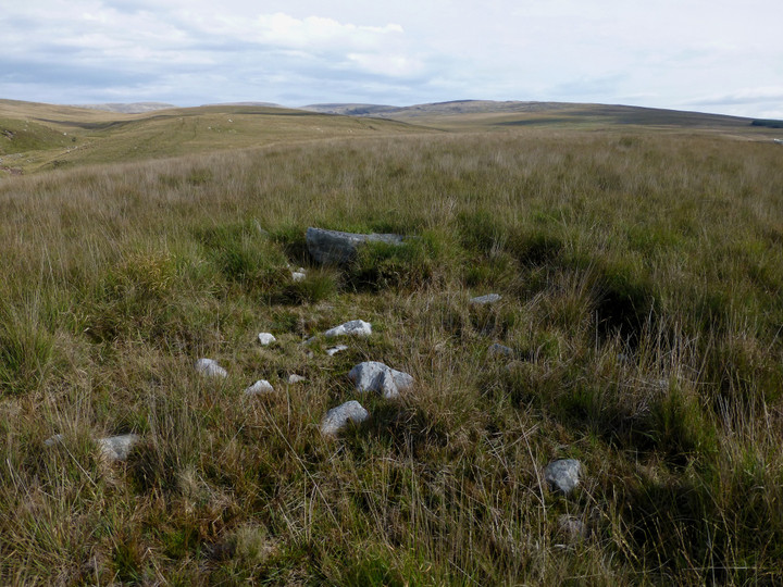
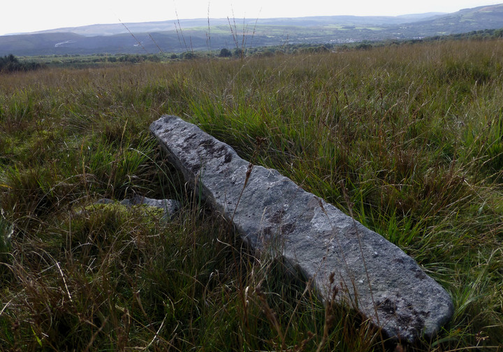
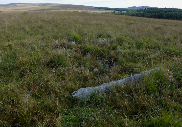
Situated on the crest of a ridge lies a disturbed cairn. It consists of a stony mound measuring 7m (NE-SW) by 6m and 0.3m high. Towards its SW edge lies a slab, embedded in the cairn, which measures 1.6m long, 0.2m thick and with a height of 0.3m above the mound. Aligned NW-SE, the slab is perhaps the remains of a cist.
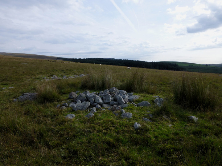
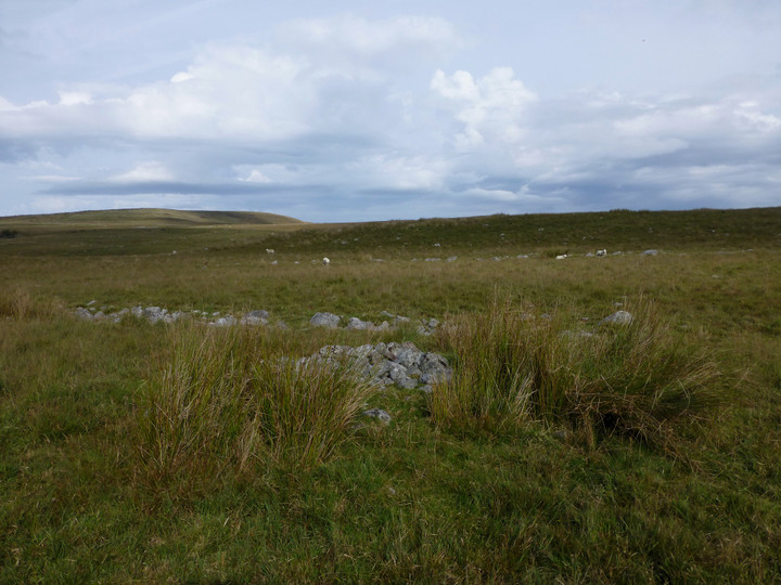
Llorfa round cairn (SN78731379)
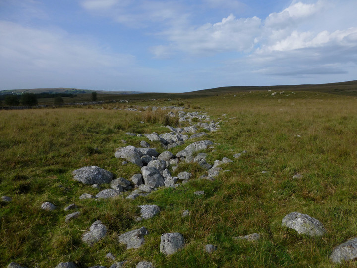
A small cairn lies on roughly level ground on the broad crest of a ridge, a short distance from field walls and sheep folds. The turf covered mound, topped with loose stones, measures 4m in diameter and about 0.4m high. On the immediate N there is a broad band of stones which appears to demarcate the relatively clear ground to the S from the more stony ground to the N.

 Posted by thesweetcheat