Hindwell Farm II barrow, a low unploughed mound in the field, seen from the road to the west. The conical hill rising behind is Burfa Camp hillfort.
Image credit: A. Brookes (8.10.2022)
Hindwell Farm II barrow, a low unploughed mound in the field, seen from the road to the west. The conical hill rising behind is Burfa Camp hillfort.

Hindwell Ash Barrow, looking west. The prominent hill on the left is Burfa Bank hillfort.

Hindwell Ash Barrow, with trig pillar inserted. Looking west.

Hindwell Farm barrow I (immediate foreground). Looking NW towards the Whimble/Bache Hill barrow cemetery. Hindwell Farm II is indicated, across the field.

Hindwell Farm Barrow I, looking south. Old Radnor church (see Four Stones) can be seen on the far right skyline.

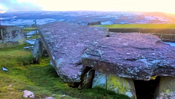
Hindwell Farm Barrow II, from the SE. The prominent Bache Hill summit barrows can be seen on the skyline.
‘Drive by’ 4.4.2016
The Hindwell Ash barrow is easily visible on the western side of the minor road which runs past it. It is in line with a hedgerow. I think it had a small tree growing out of it.
My memory isn’t what it was! :)
Not much further down the road a footpath gives access to a field boasting two round barrows, Hindwell Farm I and II. Sadly, neither is exactly well-preserved, having been ploughed to within an inch of their (considerable) lives. But when viewed in the context of the other sites nearby, they should not be overlooked. The views to Bache Hill and The Whimble are inevitably fabulous.
Passing Hindwell Farm, a further barrow (Hindwell Ash) is visible in a field to the north, on the left (west) side of the round. An OS trig pillar has been inserted and the barrow proves to be in a poor state, crumbling away under the pillar on its northern flank. The fourth barrow in the group, Upper Ninepence (great name) is not visible from here.
Group of plough-reduced round barrows form part of a major complex of prehistoric sites, including Four Stones, a palisaded enclosure, causewayed camp, various standing stones and a possible cursus, all within sight of the Radnor Forest mountain barrow cemetery to the WNW and Burfa Bank hillfort to the east, while excavation has revealed a continuation of occupation from the Neolithic into the Romano-British period.
Coflein descriptions as follows:
Upper Ninepence barrow (SO25126136)
A ploughed-down barrow, c.42m in diameter and 1.3m high.
Excavation, 1994, demonstrated that a BA barrow had been raised over a Neo settlement/occupation site; a RB hearth was recorded upon the surviving barrow material, the whole having been much affected by 19th C. rabbit farming activity.
Hindwell Ash barrow (SO25706111)
Plough-damaged barrow, 36m in diameter and 1.1mhigh, surmounted by an Os triangulation pillar: trial excavation, 1992-3, on the N part of the monument produced evidence for BA activity underlying the barrow, which had two hearths, one RC dated to the l.IA – e.RB period, upon its surface.
Hindwell Farm barrow II (SO25226091)
A round barrow, 36m in diameter and 1.1m high. The barrow is adjacent to the Hindwell Palisaded Enclosure (NPRN: 309366).
Hindwell Farm Barrow II is a Scheduled Ancient Monument
Hindwell Farm barrow I (SO25376064)
A barrow, 34m in diameter and 1.0m high.