|
|

|
|
North BigginBroch
|
||||||||||||||||||||||||
|
|
|
Images (click to view fullsize) |
|
|
Fieldnotes |
|
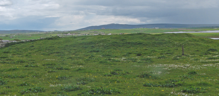
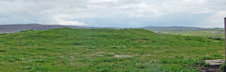
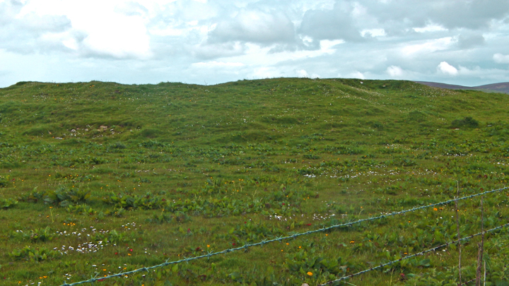
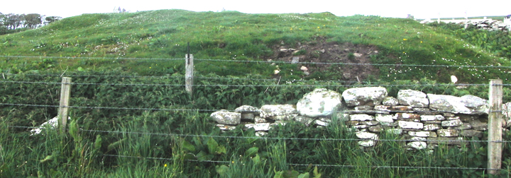
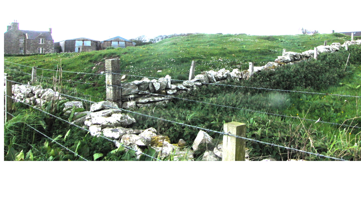
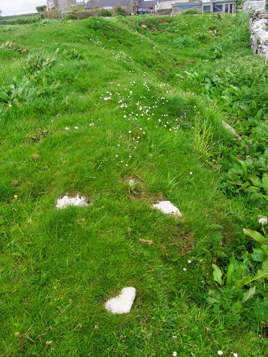
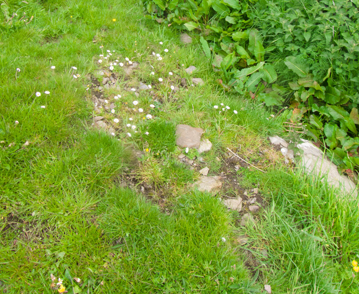
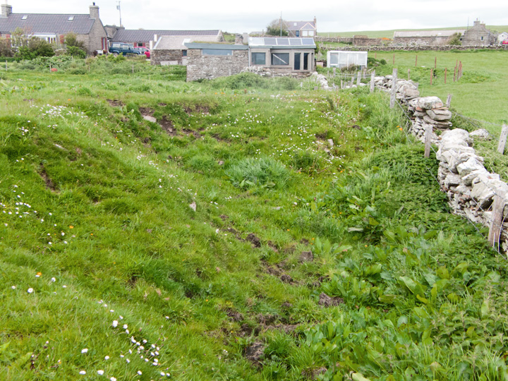
| Going north to Dounby the North Bigging Road is a sharp turn on your right with the broch clearly marked on the map, but I approached from the other end after going on to Dounby and turning off there so (hopefully) I could see other sites along the way. After the Holodyke Hunting Lodge (no mere gateway but a grand mansion) the road turns back down to the main road. On the left is a converted wartime building and the broch is in the next field. After I did my work the farmer came to find out why my interest in his "knowe", rather bemused. A very understanding chap and I would suggest speaking with him beforehand as we need more people like him and I enjoyed our brief chat. There are a few exposed parts of the nound but I'd say that from what I saw the "many stones of considerable size" have gone. It also looks to me as if the present SE edge was the border because the field over the dyke is so level, though the report says that the long pit there might be wall core. Near the top of the downhill side is a shallow bowl that could be a cell as a low ridge seems to cut it off, though from the side it does appear like part of a structure heading down to the base of the mound. |
18th May 2016ce |
|
Visited 9.6.12 Directions: Next to a minor road off the A986 near Hourston A large grass covered mound easily seen next to the road. The mound is approximately 1.5m high x 20m across. There is a depression in the centre of the mound with several stones sticking out. Canmore states: ‘The remains of a broch which was excavated in 1935. Parts of massive walling and passageways were exposed but no trace of this walling can now be seen’. |
Posted by CARL 17th July 2012ce |
Miscellaneous |
|
| Midhouse/Mithouse NMRS record no. HY32SW 17 at HY30802000, is a large grassy mound SW of Mithouse, 10~12' high and 132' by ~100' orientated NNE/SSW with many large stones on its slopes. In 1935 a small excavation found passageways and massive walls - it is thought to have been a broch as a shallow 54' D depression on top is surrounded by a low irregular bank. |
18th May 2016ce |