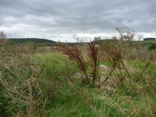
Once again another cairn that survives despite the ravages of time and agriculture. Thankfully the site is now protected but in reality there is very little to see. However it's location is special, it is almost exactly in the middle between two of Aberdeenshire's most famous RSCs, Louden Wood and Aikey Brae. Throw in Dens, Cairndale and Auchmachar as well.
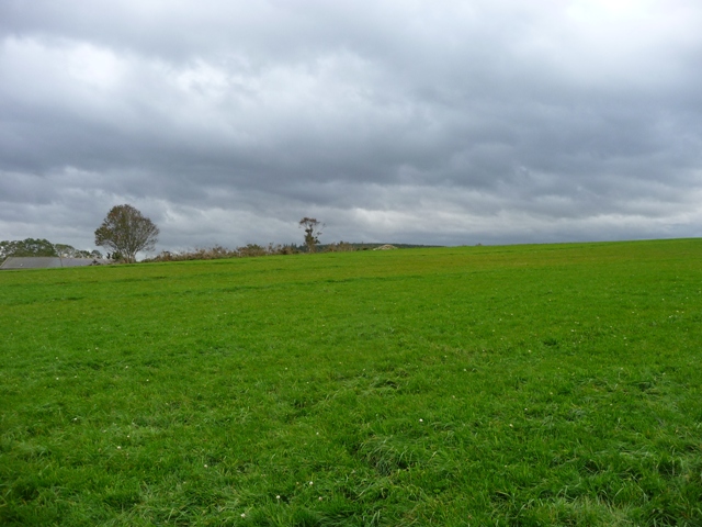
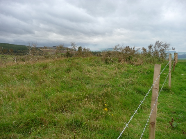
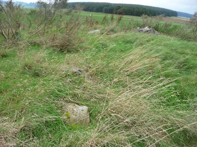
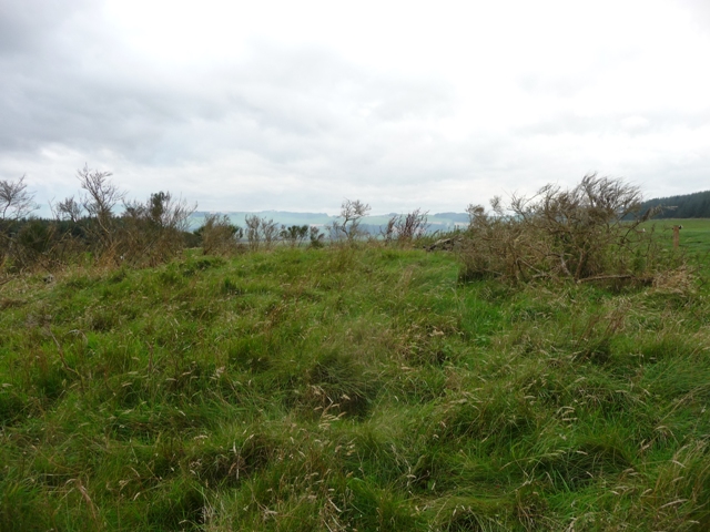
On what was to prove a very good day I parked at the entrance to Mains Of Bruxie, just west of Deer Abbey. The cairn is sited on top of the hill near the sadly uninhabited farm of Stockbridge looking down onto the South Ugie Water, being some 16 meters wide, at it's highest it might be close to a meter. A scattering of cairn material remains as well of evidence of robbing. Still on the good news front it is protected by a fence from the friendly bulls who made sure I left safely.