|
|

|
|
Caer Blaen-y-CwmEnclosure
|
||||||||||||||||||||||||
|
|
|
Images (click to view fullsize) |
|
|
Fieldnotes |
|
|
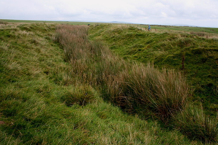
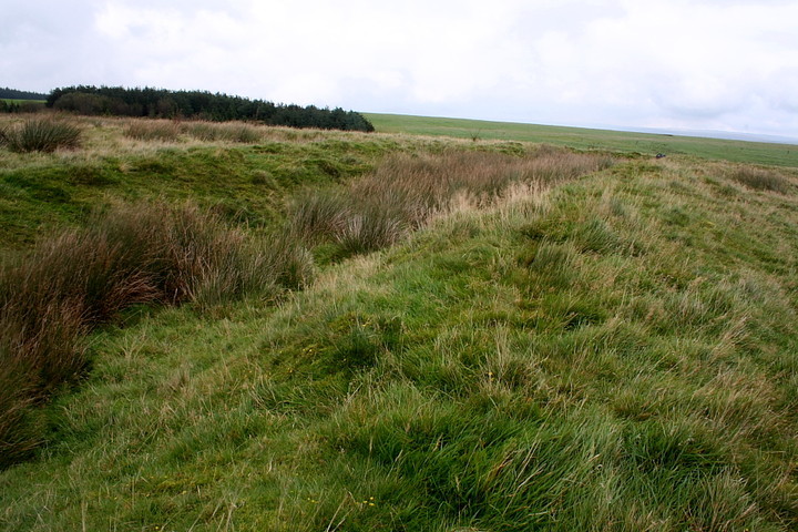
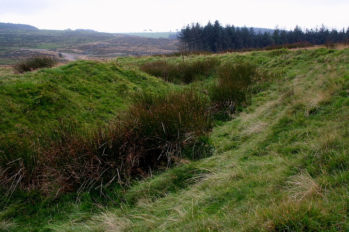
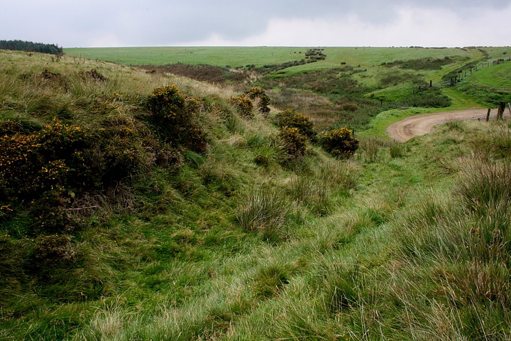
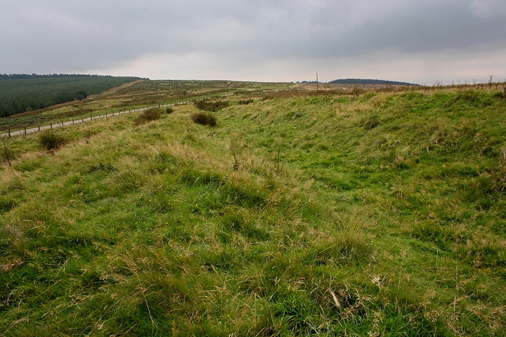
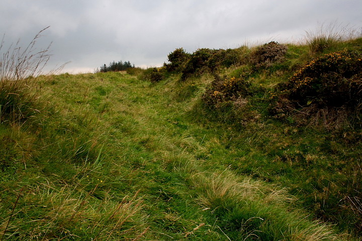
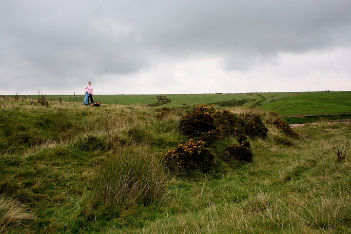
Visited 13.5.13 Directions: See details for Y Bwlwarcau. Continue uphill until you reach a forestry track. (10 minute walk) The enclosure is directly to the right (north) of the track. As with Y Bwlwarcau this is another area of ‘rough, lumpy bumpy’ ground. The earthworks however are more substantial and easier to spot. Despite being the middle of May it was fairly bleak up here and the cold wind biting. The sun was doing its best to break through the grey clouds but it was obvious rain wasn’t far off. Not much in the way of views although the birdsong was nice to hear. Being a South Wales site it was no surprise to find an empty larger can……….. COFLEIN states: 'A quadrangular enclosure, c.44m E-W by 40m, defined by double banks with a medial ditch; a c.164m stretch of N-facing bank and ditch, runs ENE-WSW, c.68m to the N: the site is obscured by a N-S trackway. The bank and ditch to the N, together with less defined E-W linear features, c.52m to the S, have has been considered as the remnants of a large outer enclosure, c.200m square, similar to those at Moel Ton-Mawr'. |
Posted by CARL 14th May 2013ce |