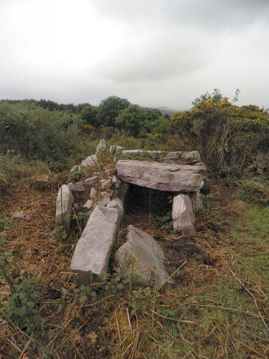
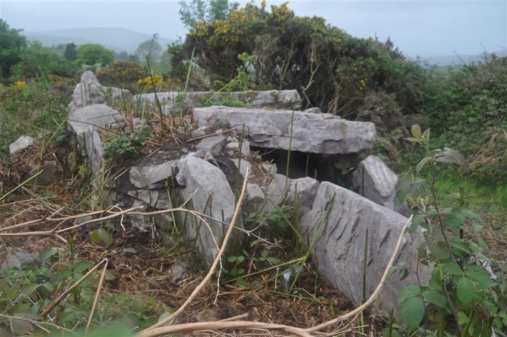
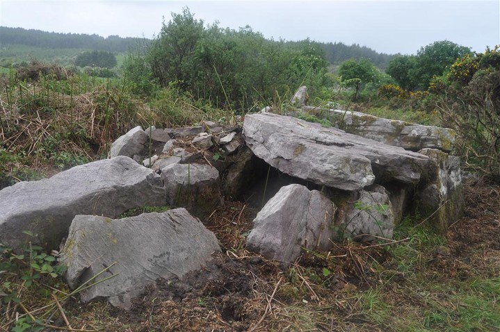
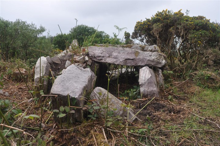
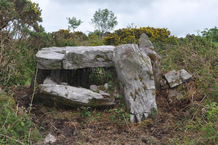
I visited this as part of a mini megalithomeet in May 2011. Megalithic enthusist Marianne had taken it upon herself to clean up this tomb and that is why it was in such great shape in this photo.
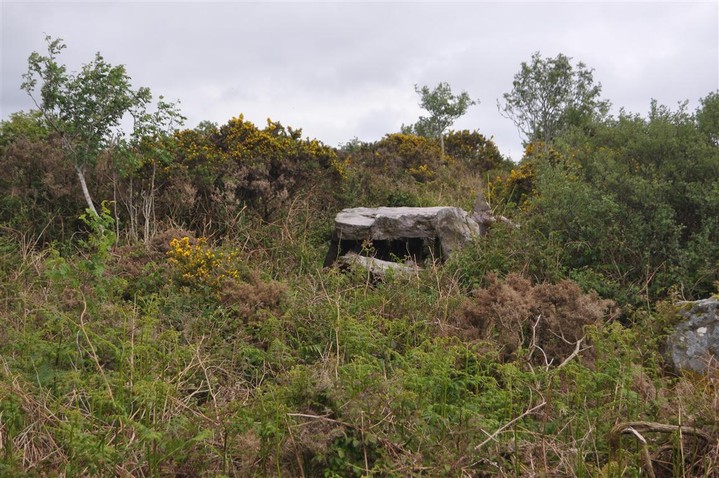
It is relatively easy to find, it is about two small fields in from the road climbing over a set of gates. There is a good bit of room to park at the gateway entrance.
The tomb itself is about 4-5 metres long by approx 1.5m high.